Lulworth to Swanage
51,000 steps
Just dwell on that a moment.
51,000 steps.
Fifty-One. Chuffing.Thousand. Chuffing steps.
Organising this leg of the Path has been tricky. The Path east of Lulworth crosses a large area used by the military since 1917 for firing practice. These ranges are generally only open at weekends. When they’re closed, the poor walker faces a long and tedious detour inland. Accordingly, the whole trip has hinged around being in Lulworth on a morning the ranges are open.
To complicate matters further, within the range and beyond there is virtually no place to stop, to stay overnight or to get refreshments. We’ve known all along that today we face an early start and what the trusty Book describes as:
“A particularly long, tough stretch…there are some steep ascents and descents. Most of the walk is remote from habitation, so pay attention to escape routes in case they are needed…a long and hard day…”
Intimidated by this, we’re leaving early. Our B&B host, Shirley, has kindly left a cool bag outside our room, containing a packed breakfast and lunch. Off we go, sadly without having had any coffee.
The Path offers us an early statement of intent with a steep climb up above Lulworth Cove. We get a final chance to enjoy Lulworth’s supremely cove-like aspect, before a steep, stepped descent to enter the ranges.
The morning starts sunny, with cotton wool clouds scattered across the sky. Fifty minutes in, the Prof announces that his watch says he has already met his daily target for distance ascended.
The Path soon responds by giving us a bonus: a long, steep, arduous climb from near sea level to the top of Bindon Hill. (37 flights of stairs according to the professorial watch.)
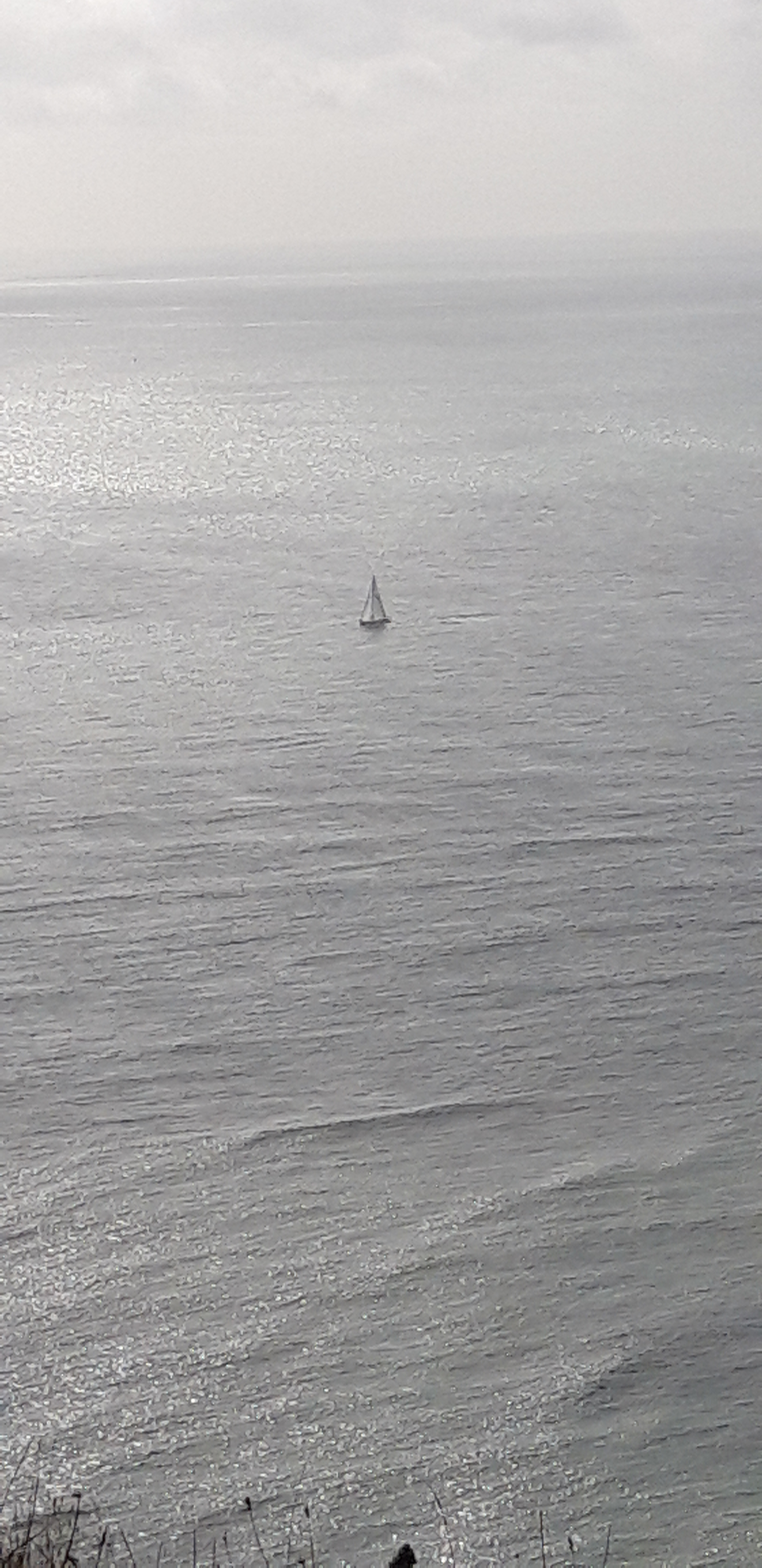
Once up high, we walk along the ridge, with the sea like a shiny blue tabletop to our right, abridged by a couple of tiny sailboats far out.
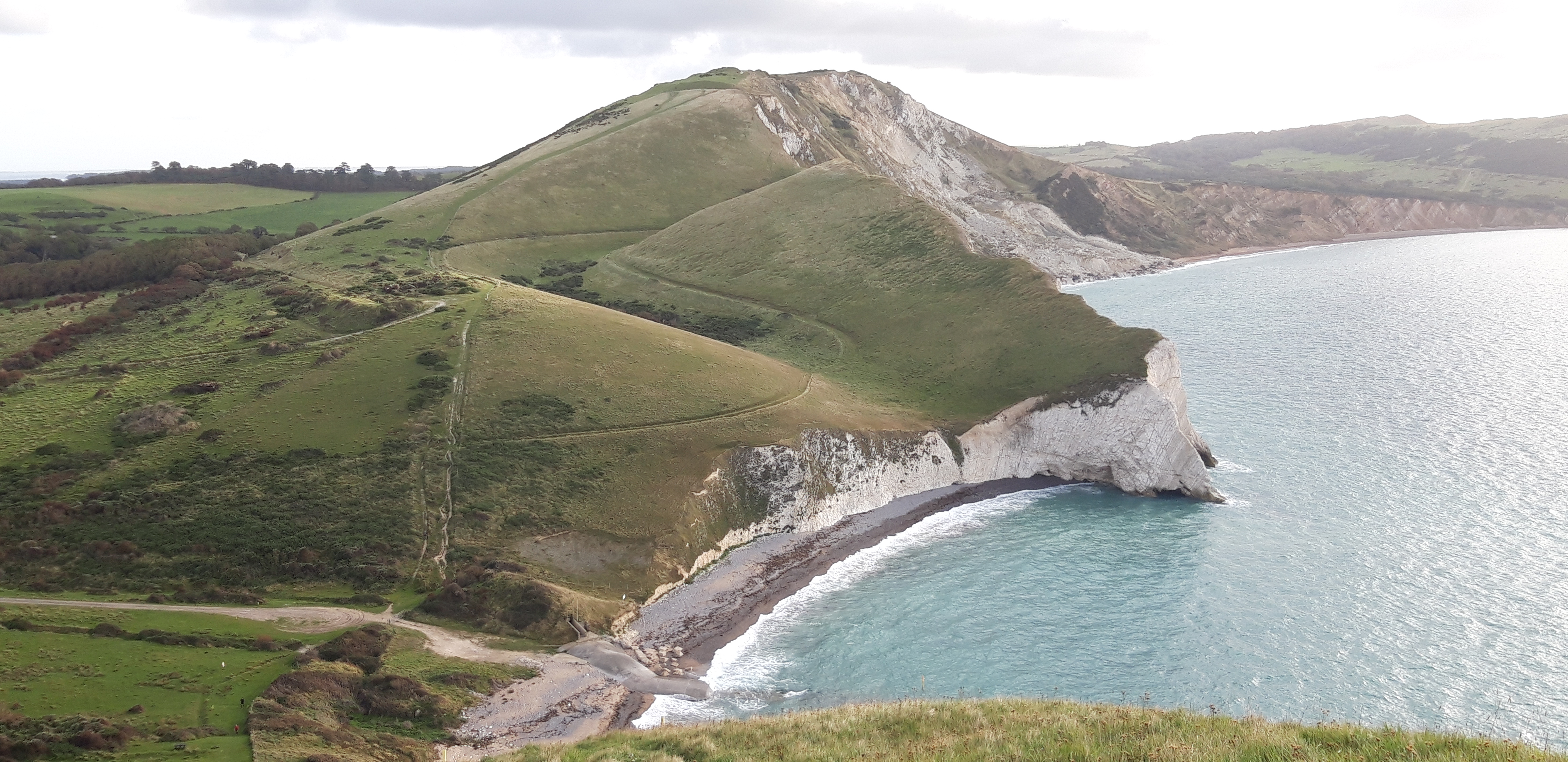
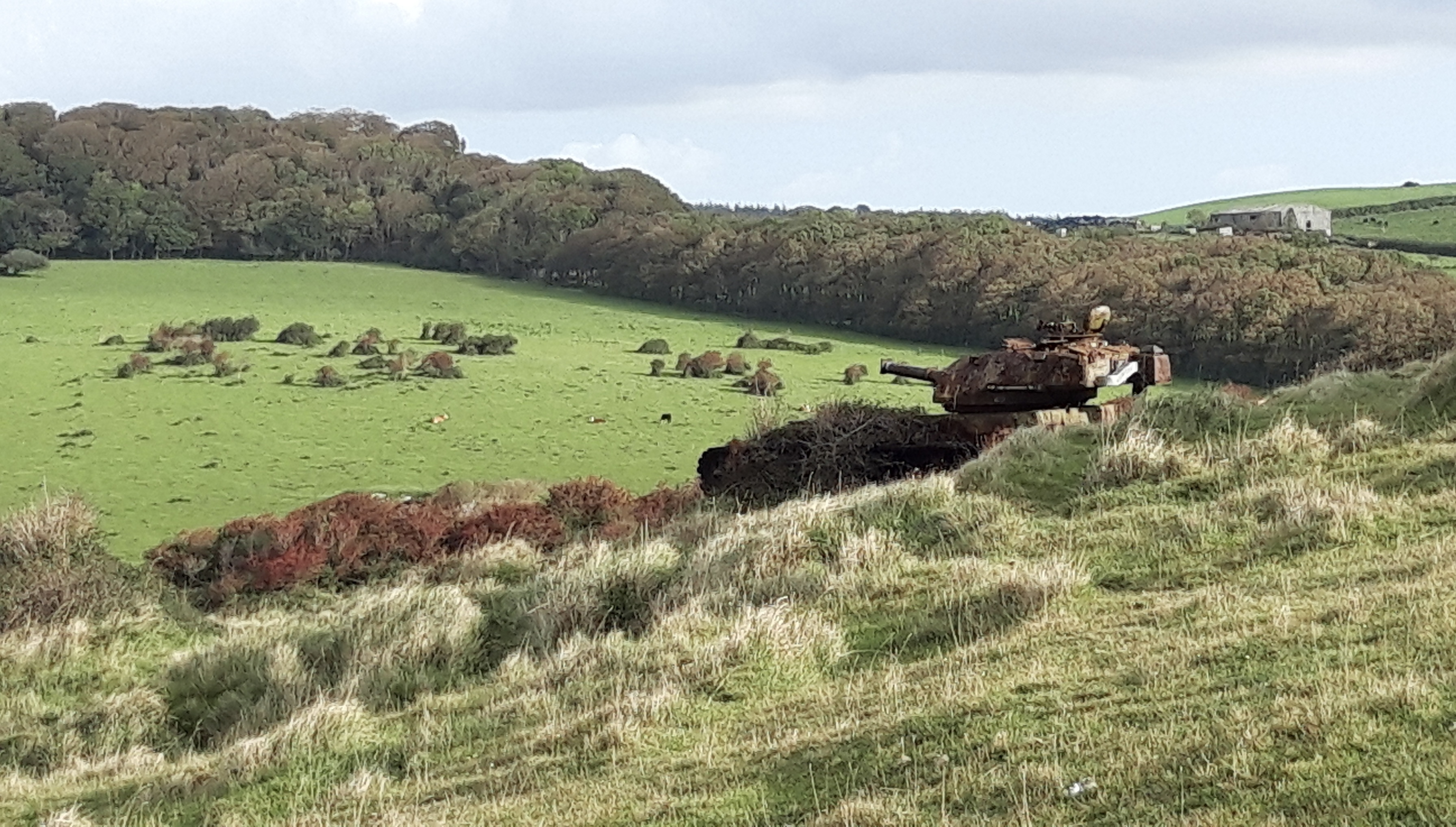
On the inland side, there’s a view over a tank range, one of the surprisingly few visible signs of a century of military practice hereabouts.
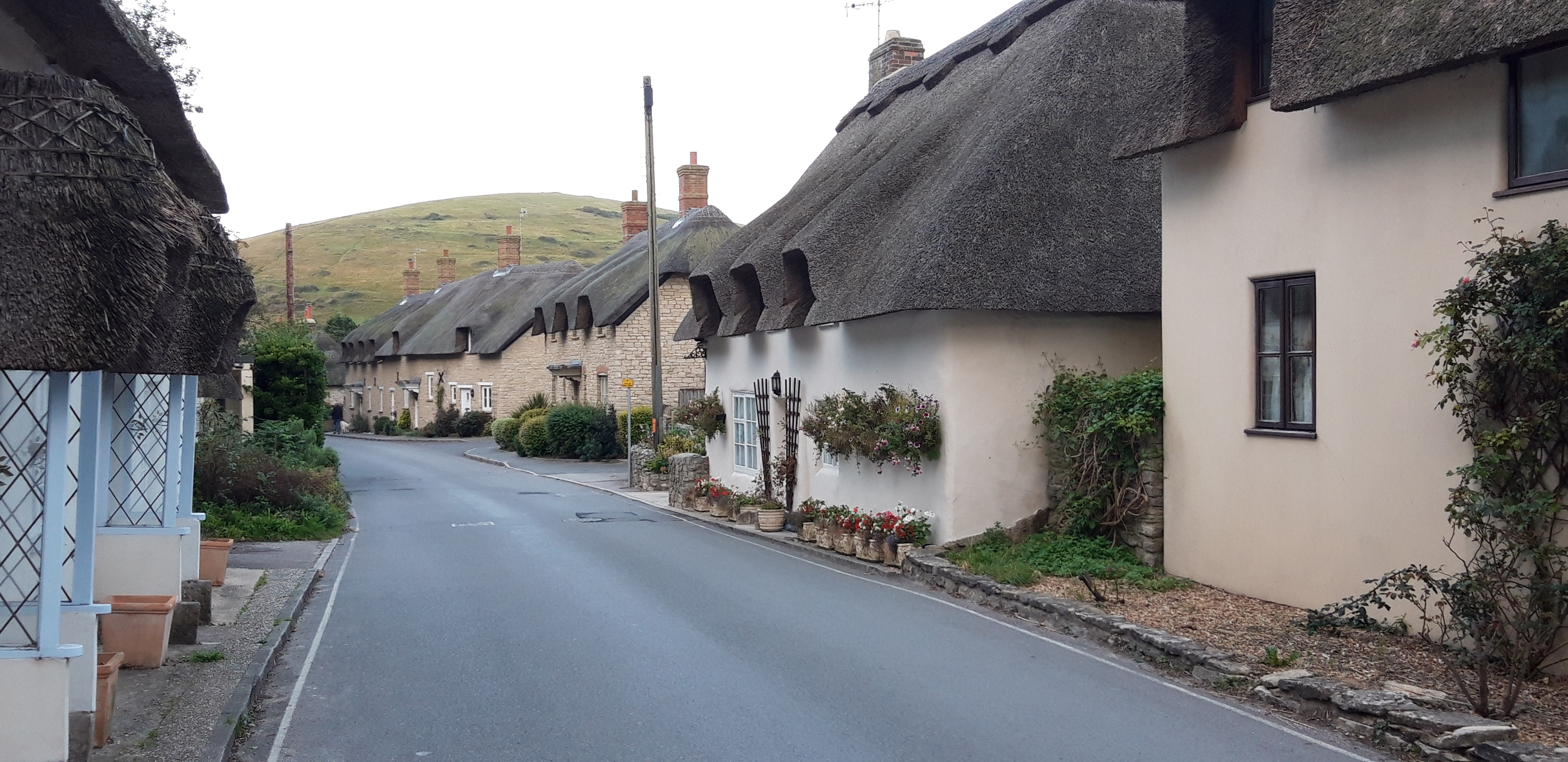
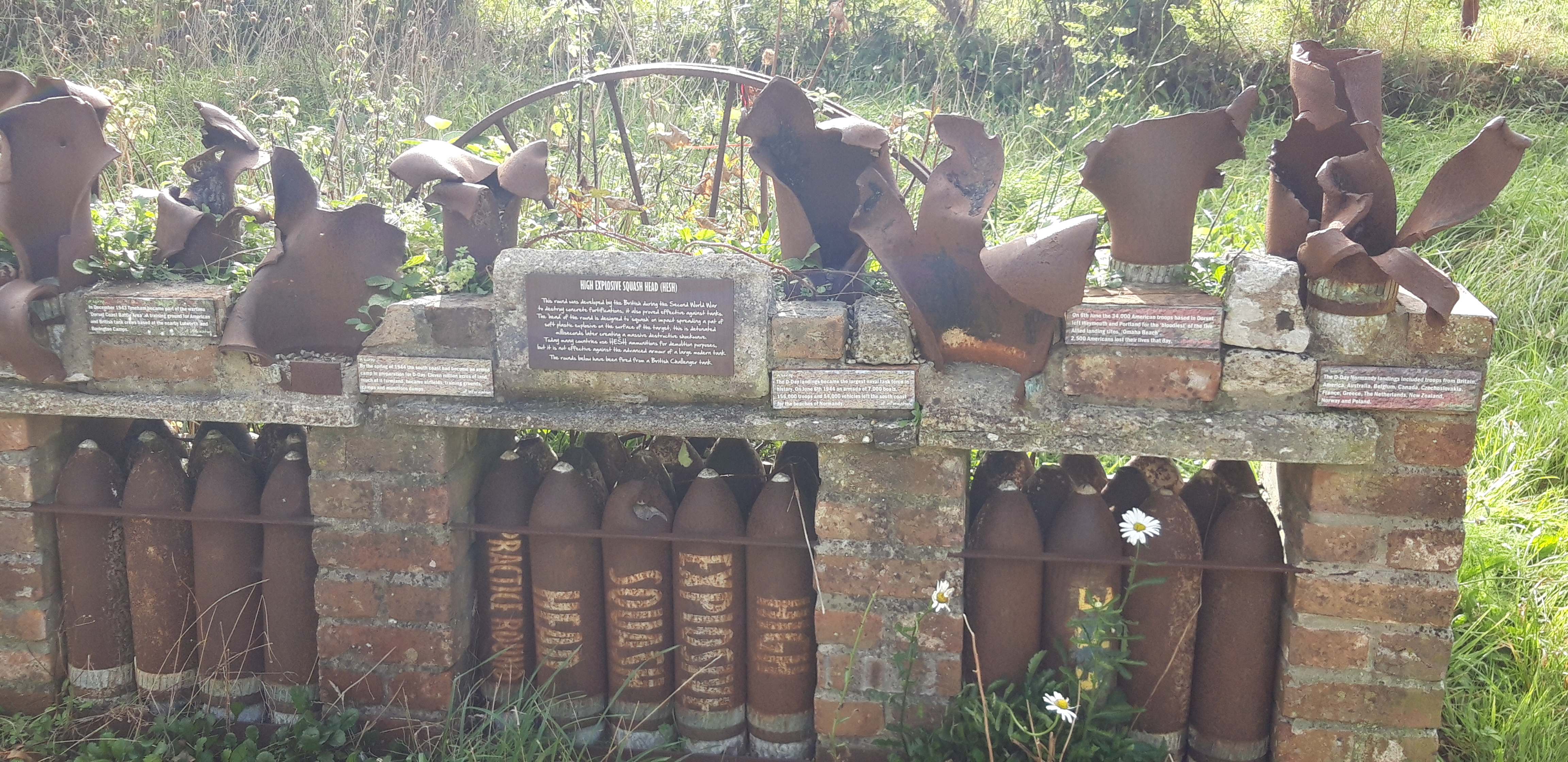
We descend again to Worbarrow Bay, and turn inland to reach the ghost village of Tyneham. This was evacuated in 1943, as the ranges prepared for the Normandy invasion, and abandoned permanently following compulsory purchase by the Army in 1948.
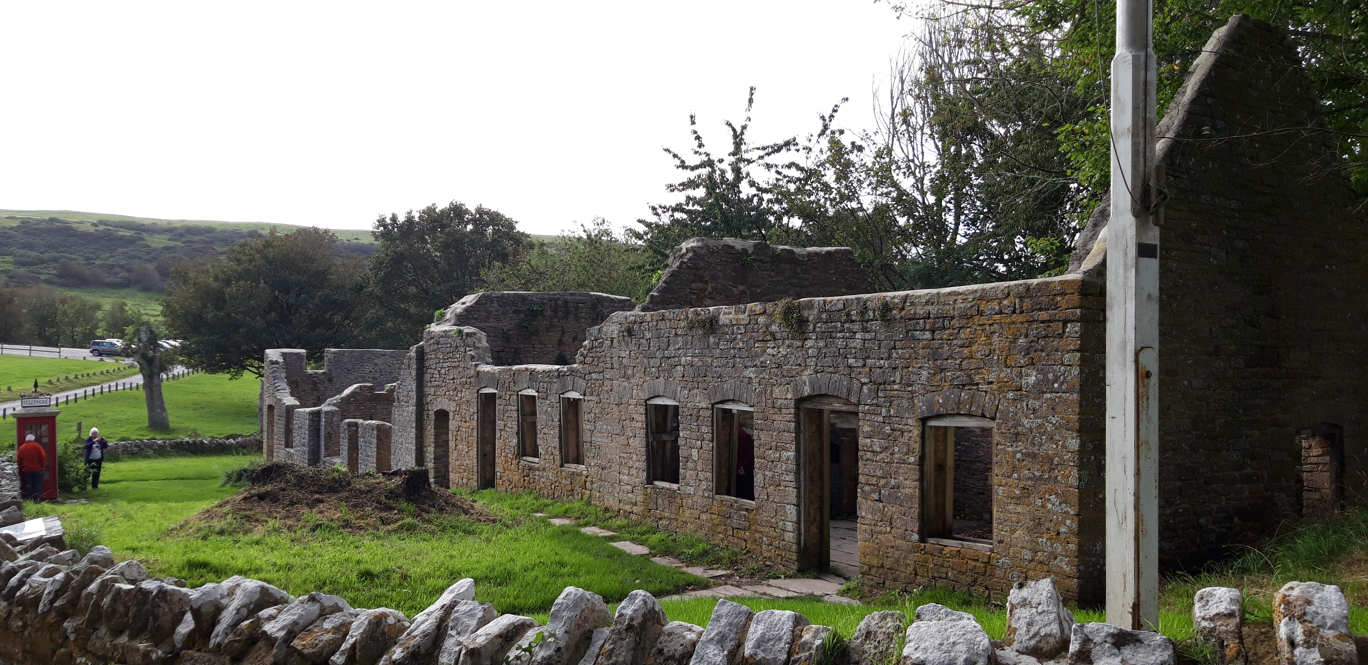
We wander among the abandoned buildings, including a schoolhouse and a church, but fail to find anywhere offering coffee.
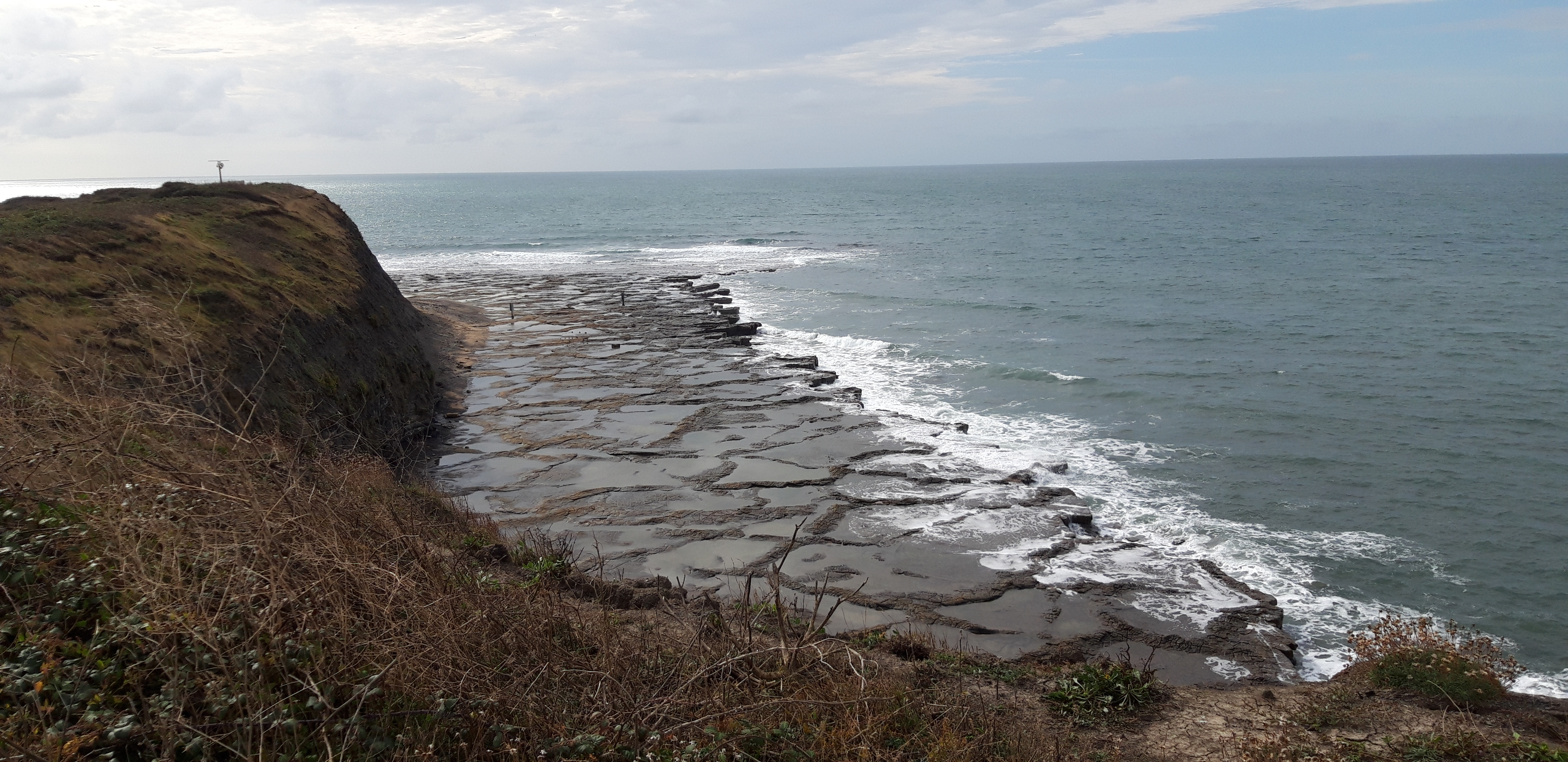
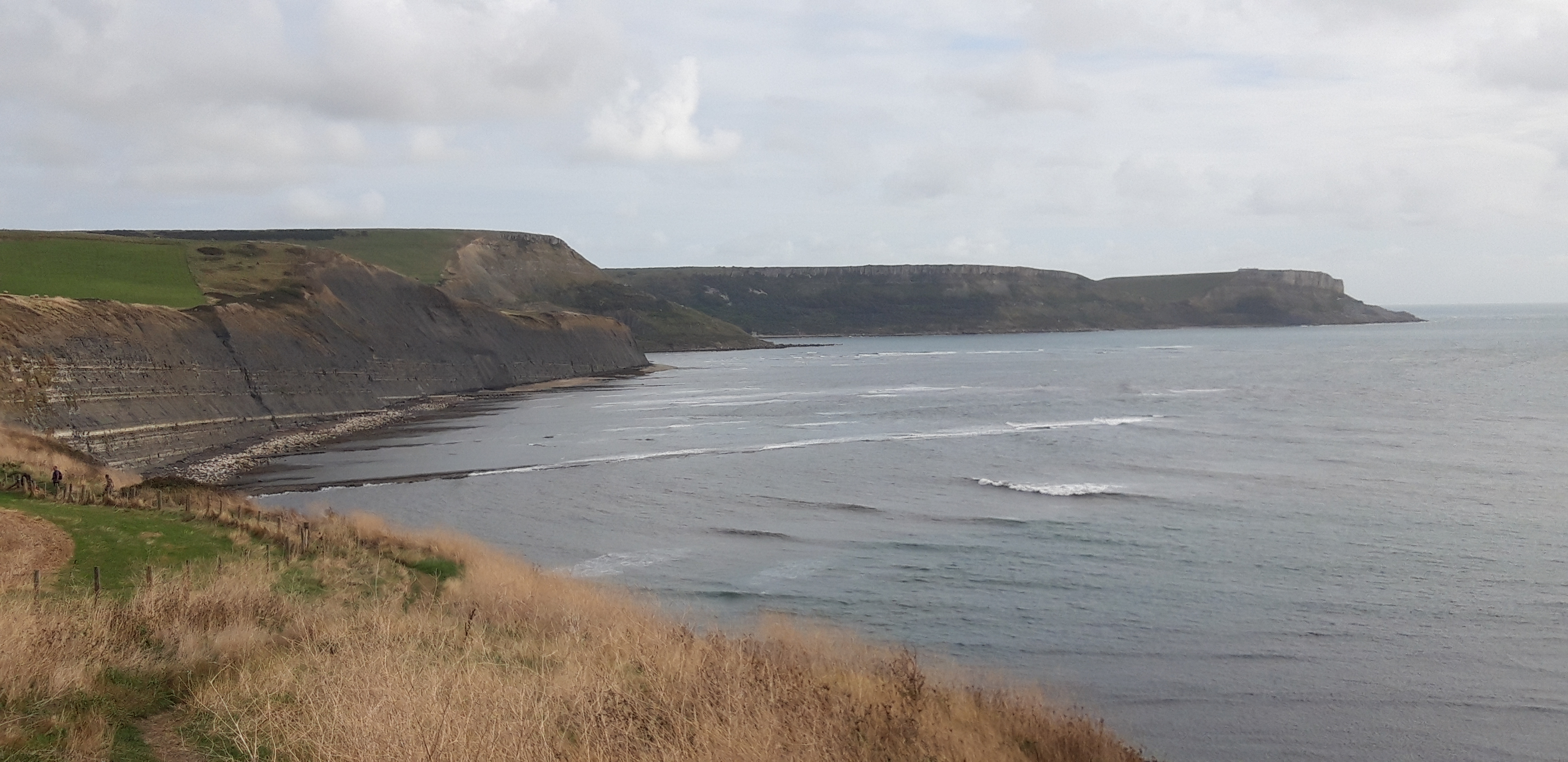
Regaining the coast path, we pass above interesting tidal shelves at Broad Bench.
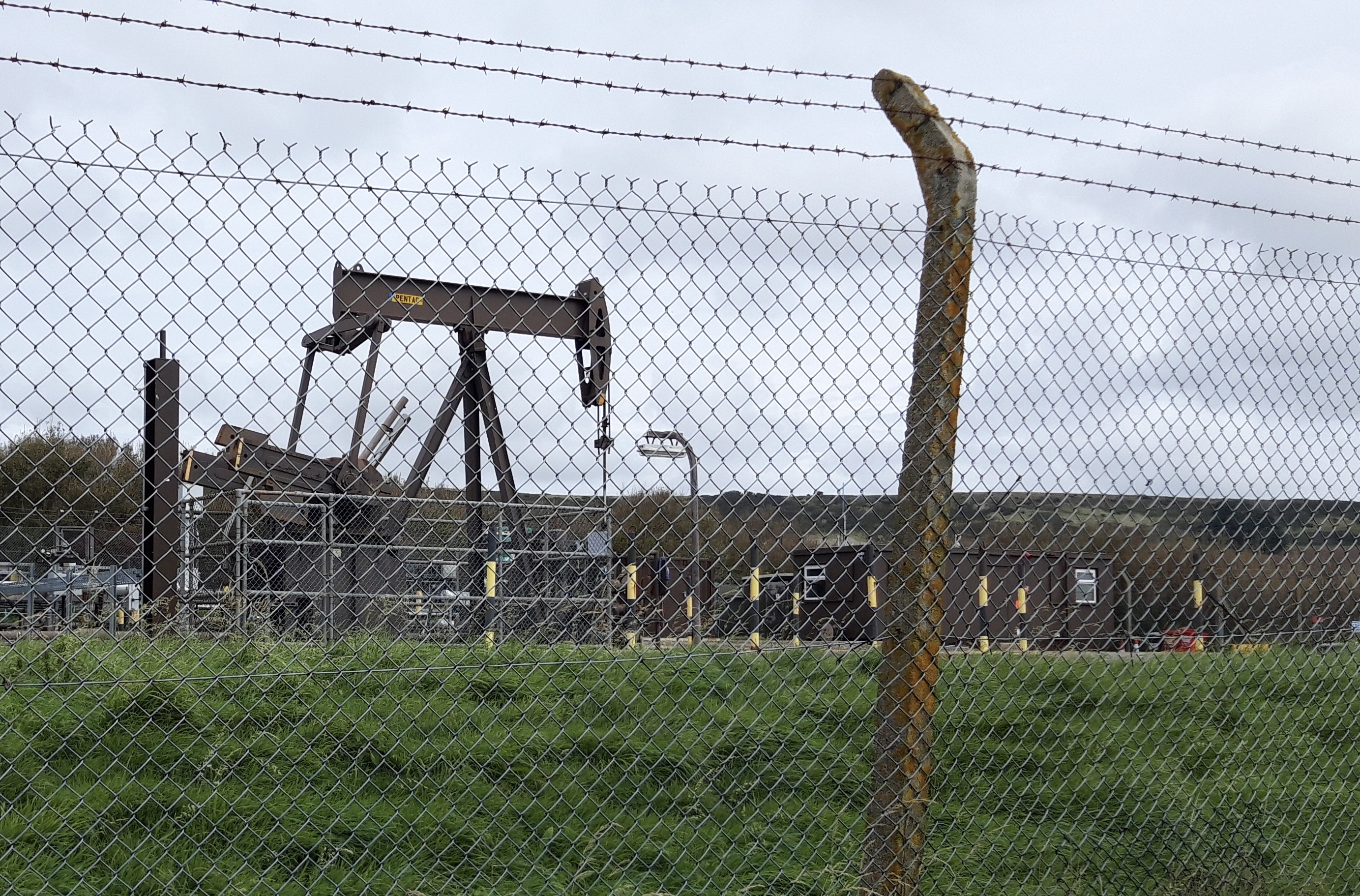
We leave the ranges through a fortified gate close to a solitary oil well.
The Prof raises hopes of a coffee van or hut at Kimmeridge Bay, where there is a car park and some small buildings clustered close to the sea. These hopes are soon dashed. We eat our sandwiches on the grass overlooking the waves, close to the ‘Wild Sea Centre’ (which doesn’t have a cafe).
The day has become cloudy and breezy. There are kayakers in the sea, and the waves make a pleasant murmur to accompany our rest stop.
When we resume, my legs tell me – by means of tiredness and stiffness – that they had assumed that was the end of the day’s walking. In fact, I inform them, it’s barely half over.
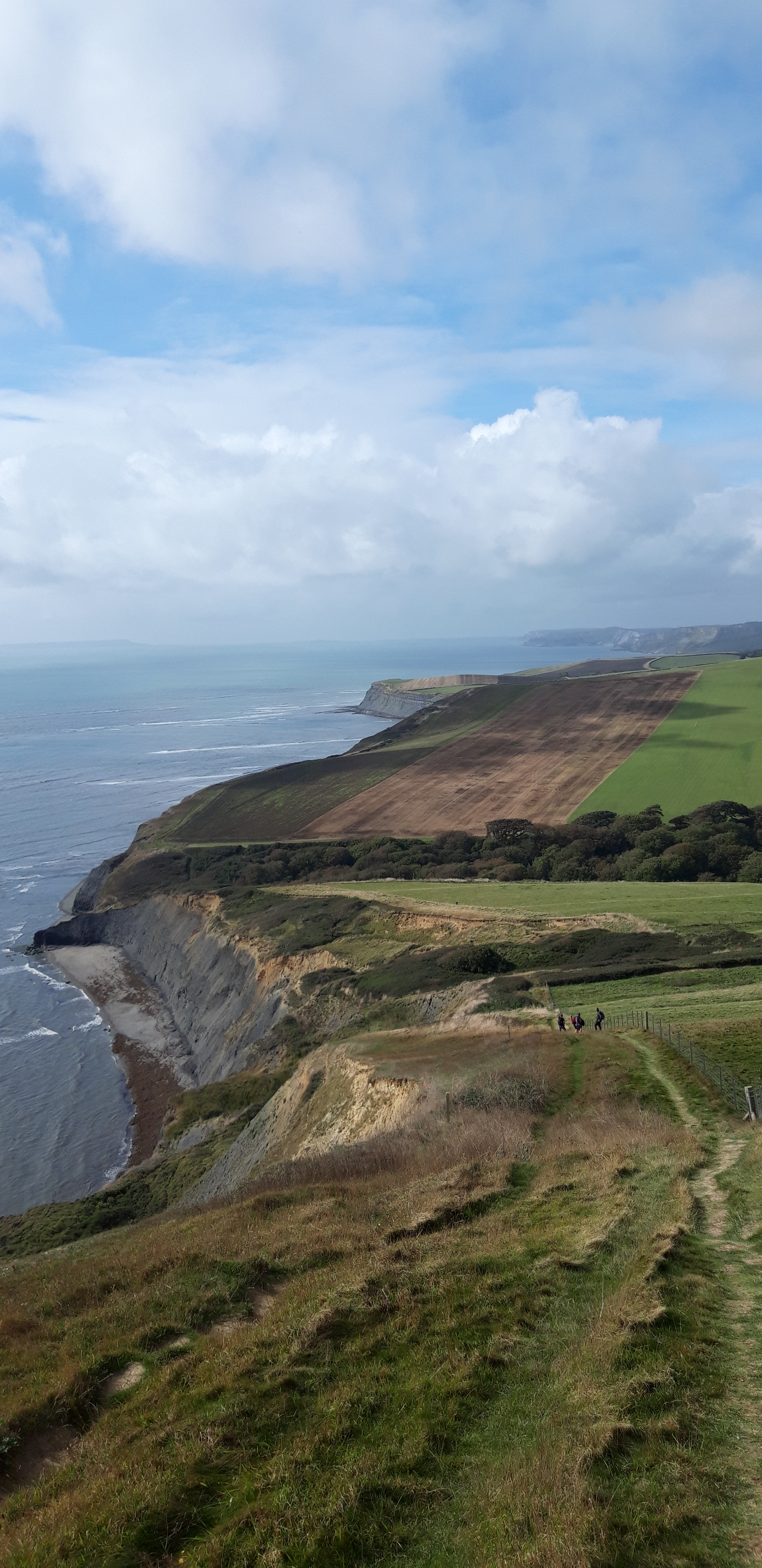
After a stiff initial climb, the walking is easier along the level ground on the Kimmeridge Ledges, and we make good time for a while, until the Path reverts to type and gives us a very challenging climb up onto Hons-Tout Cliff.
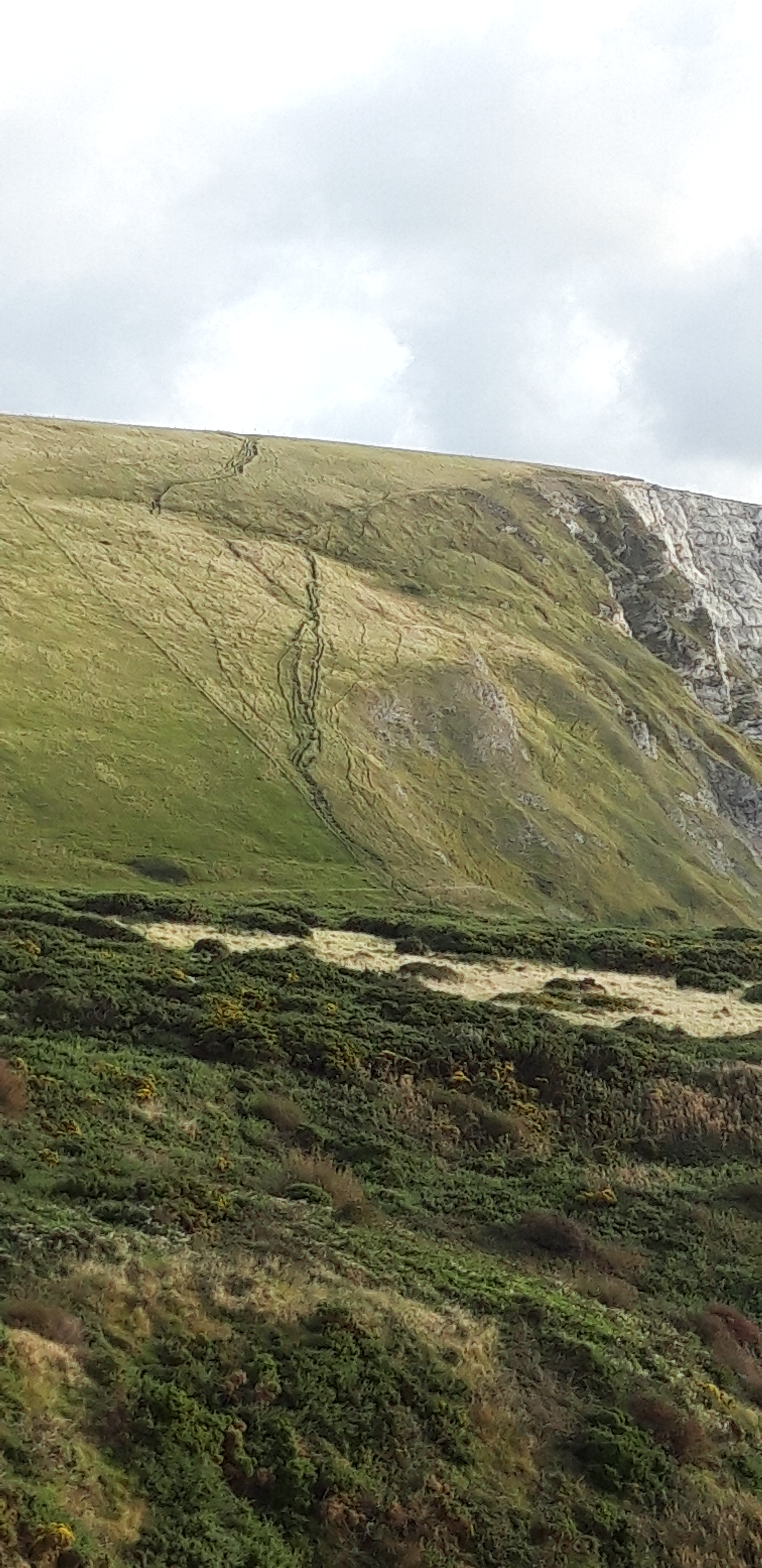
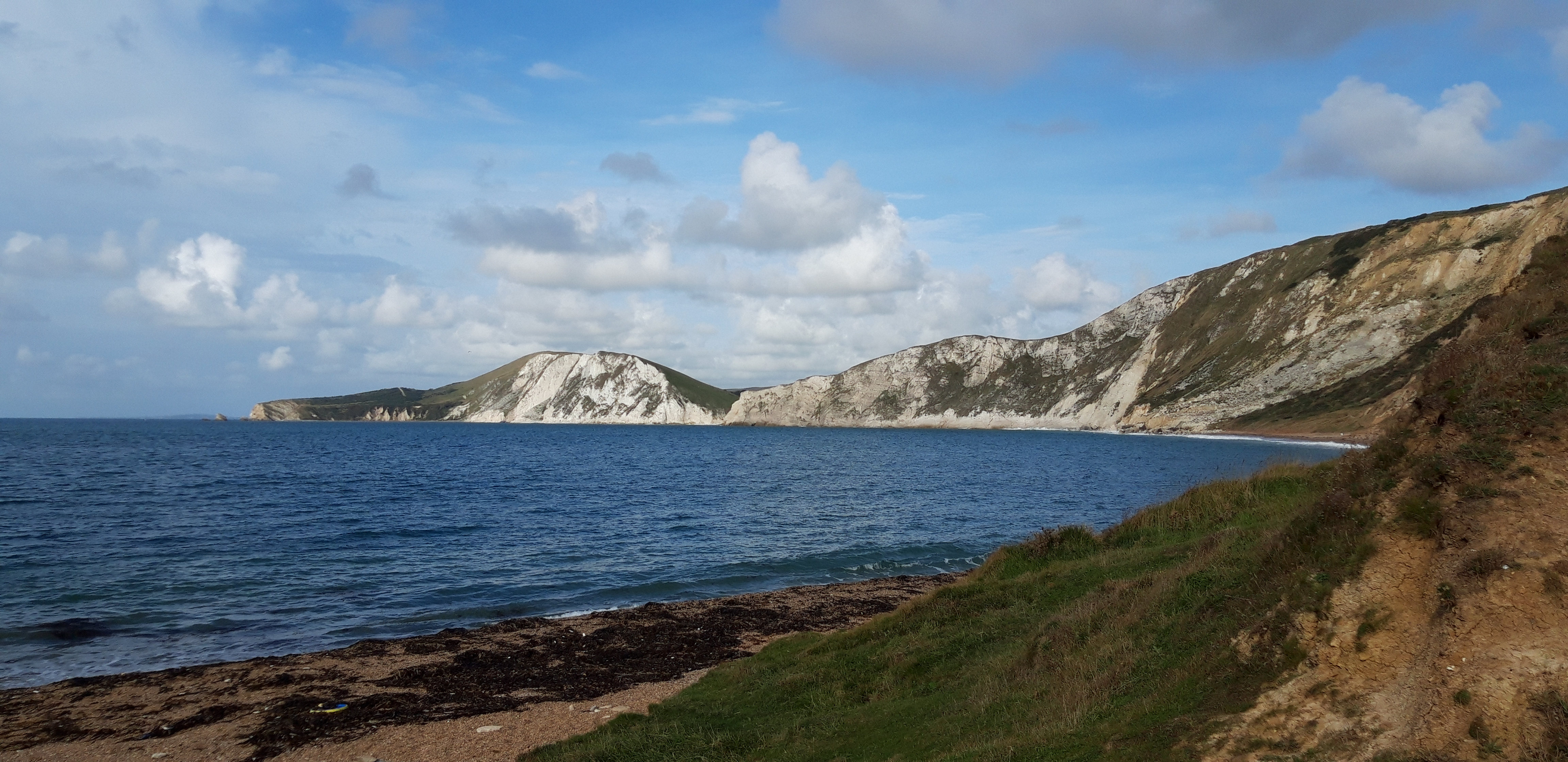
As we climb, there is a sumptuous view over the terrain we’ve walked.
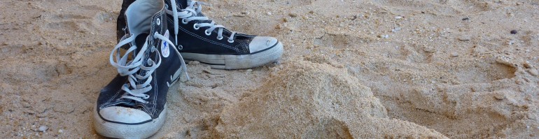
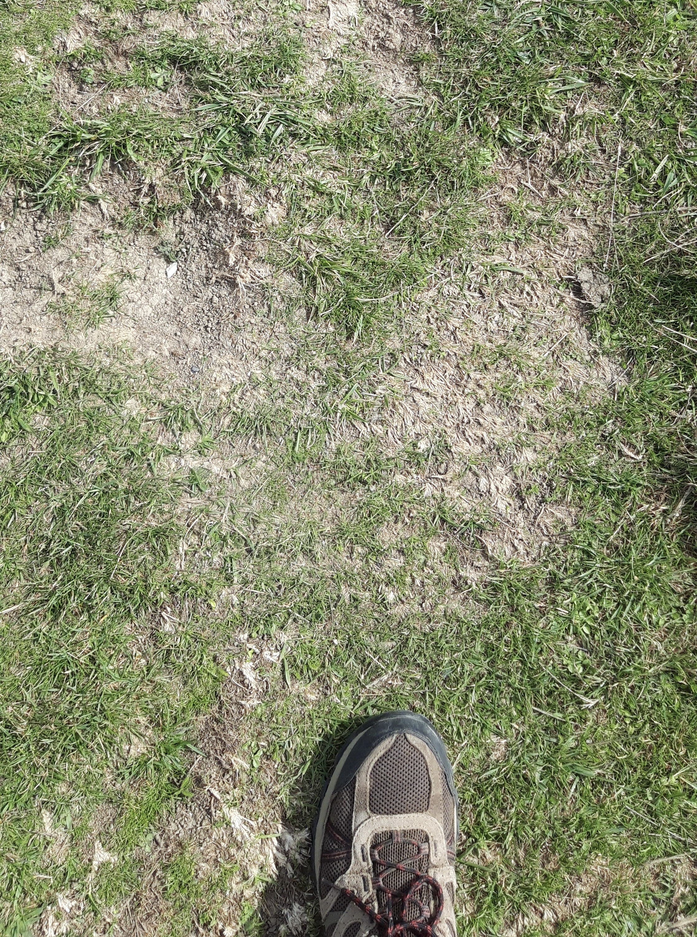
But for most of the climb, I confess my view is more like this…
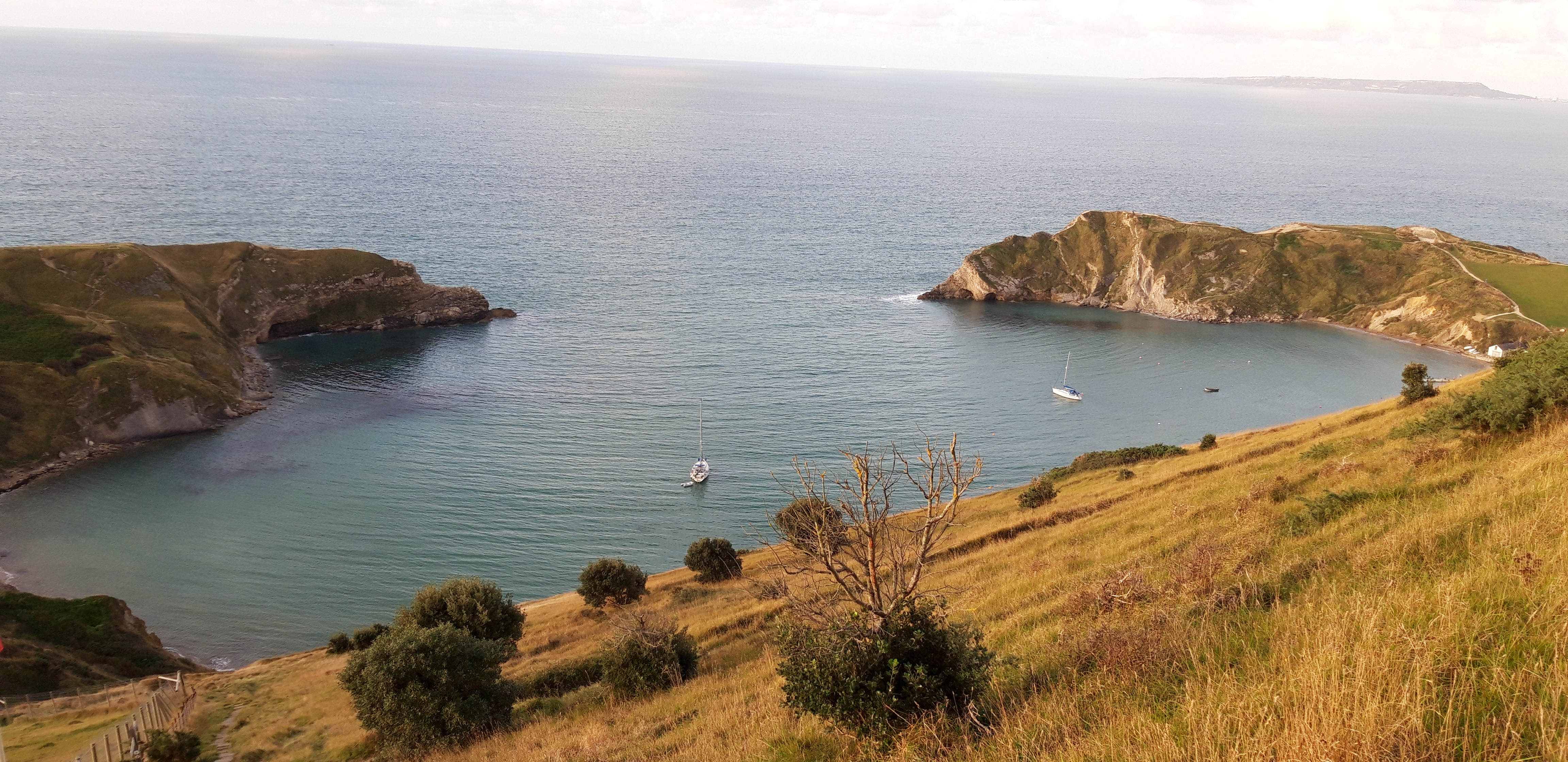
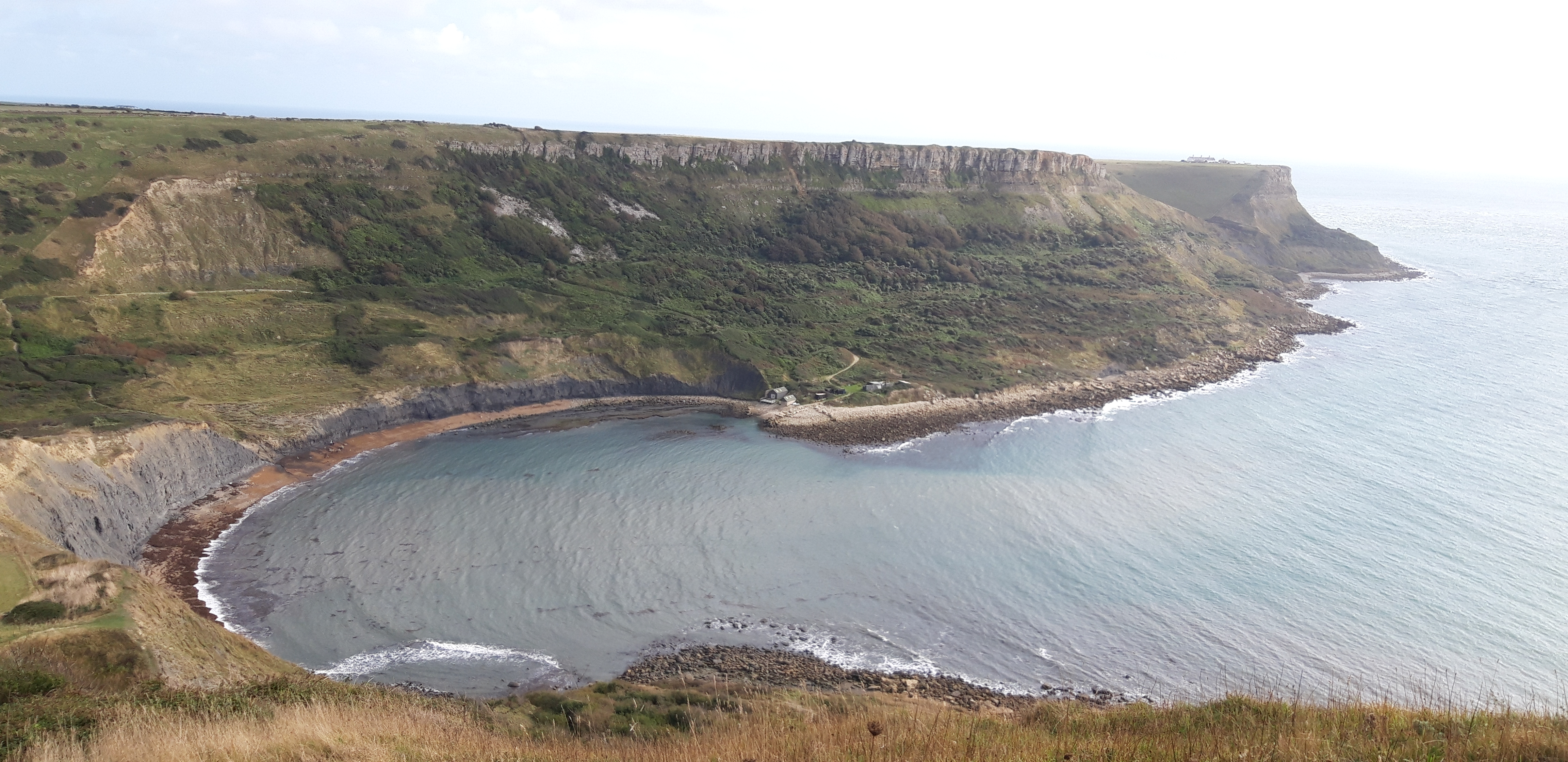
After a recovery period, we descend again and turn inland at Champion’s Pool, a cove almost as perfectly cove-like as Lulworth.
There’s some fiddle-faddling about with the map to find the back way to Worth Matravers, but finally – after seven hours walking – we trudge into the Square and Compass pub for beer, water, pasty. And coffee. And rest.
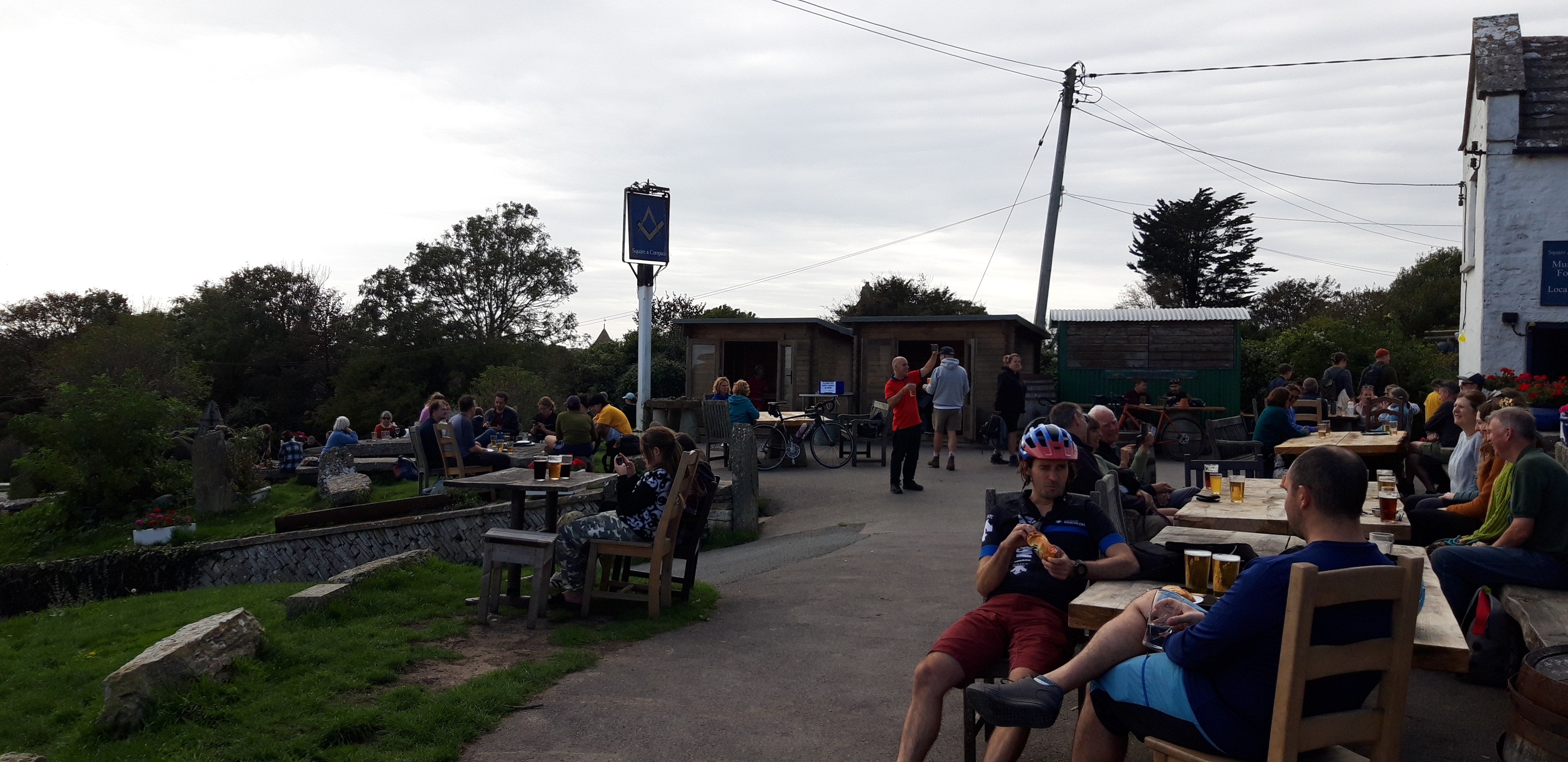
Once again, about fifteen miles in, my legs think the walk is complete. It’s tempting to stay. The pub is overflowing with walkers, cyclists and weekend pleasure-seekers. But to my legs’ disappointment we resume again, taking a slanting path downhill and picking up the coast path again.
I could do without the last five miles, which seem interminable. Generally level, winding along a narrow path through gorse, until we finally reach a bushy ridge at Durlston Head. Even from here, we have another superfluous mile down into a Swanage, my bones feeling every mile behind us, my clothes damp with sweat.
Until – at bloody last – we reach the Swanage youth hostel and the rucksack can finally be removed from my weary shoulders.
On top of the 51,000 steps, the Prof’s watch tells us that we have ascended the equivalent of 350 flights of stairs. This is like climbing London’s Shard three times.
One interesting phenomenon I’ve observed over the many days on the Coast Path: I often get the planning wrong, misjudging distances and the challenge of the terrain. Perhaps I’ve finally got the hang of it – I thought today was going to be several miles too long and very hard going. And it was.