And Finally…South West Coast Path, Day 46

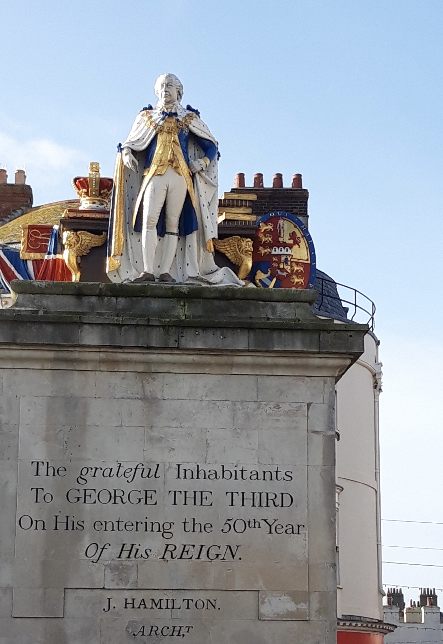
Swanage to South Haven Point

25,000 steps

“The wearisome grand passions and distasteful excitements of active lives, stressed to breaking point, are supplanted in the end by the implacable lassitude of walking: just walk-ing. Serenity is the immense sweetness of no longer expecting anything, just walking, just moving on.”

Frederic Gros, A Philosophy of Walking

On this, the final morning of my long walk round the southwestern peninsula of England, I reflect on the miles I’ve covered. That is, if I really have covered them: my son recently told me that my body’s cells will have been completely replaced over seven years.

The implication seemed to be that the person who started from Minehead in April 2016 is not the same person who’s finishing. Maybe I haven’t really completed the Path; I’m sharing the achievement with someone else, some now vanished past version of myself.

(I found out this cell replacement idea was not strictly true: https://www.livescience.com/33179-does-human-body-replace-cells-seven-years.html)


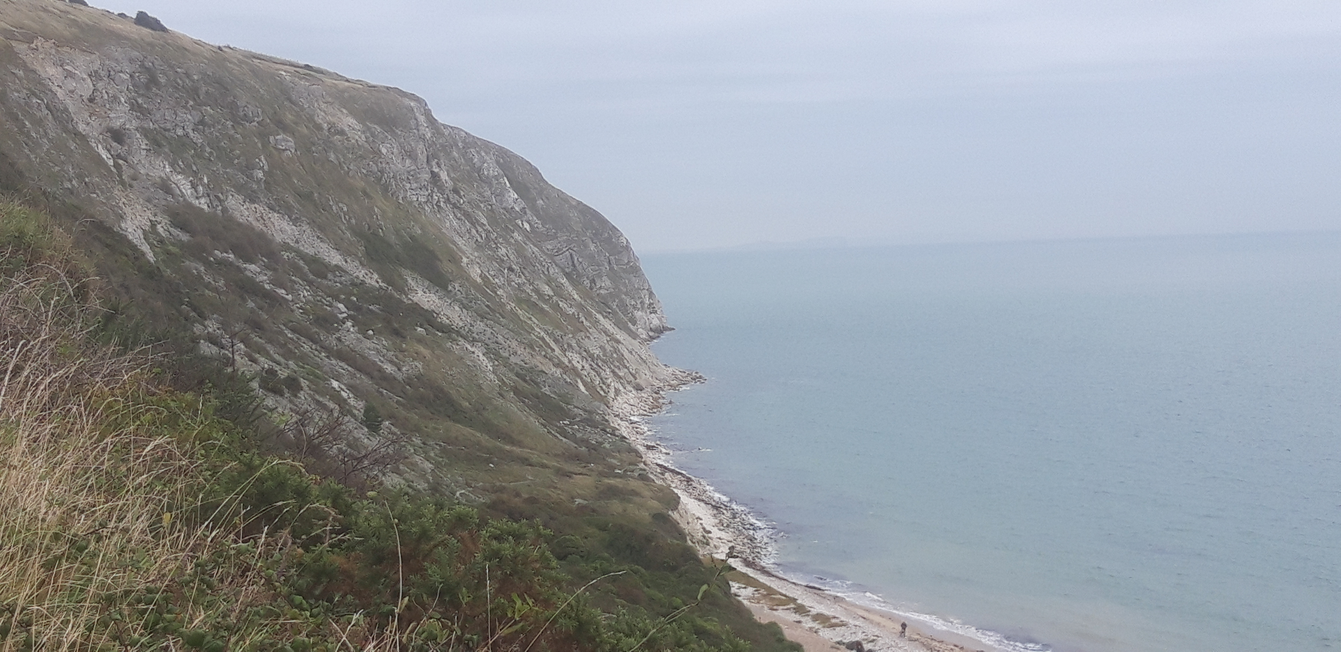
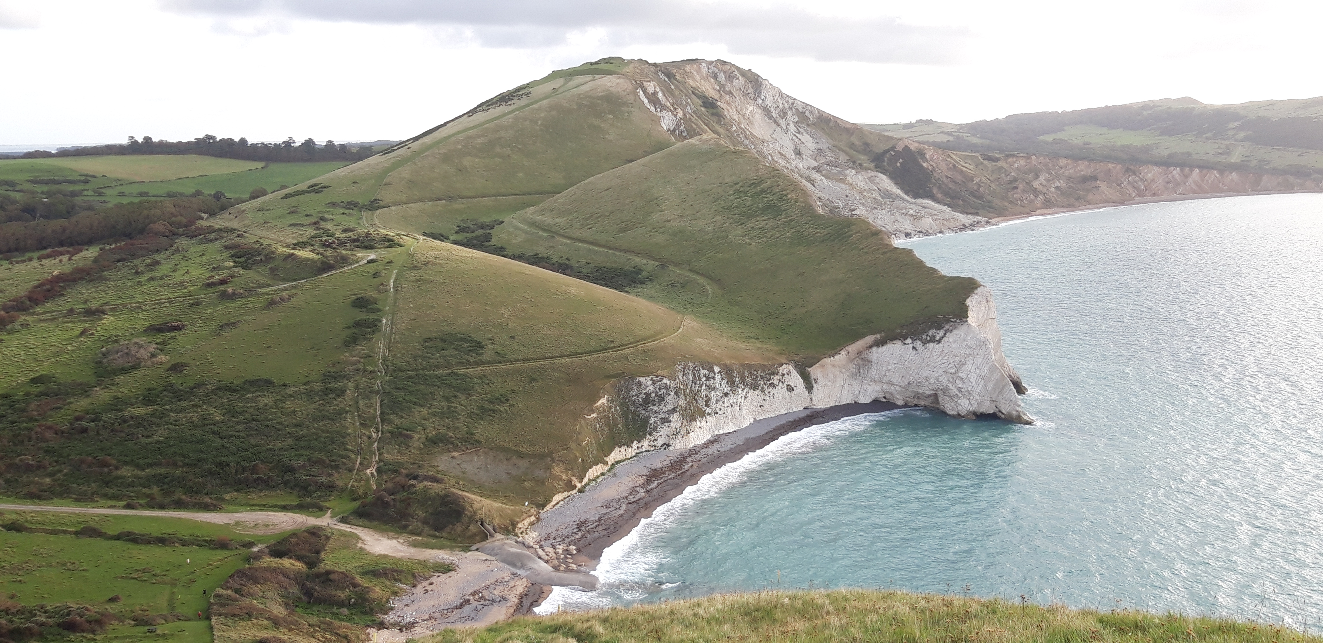
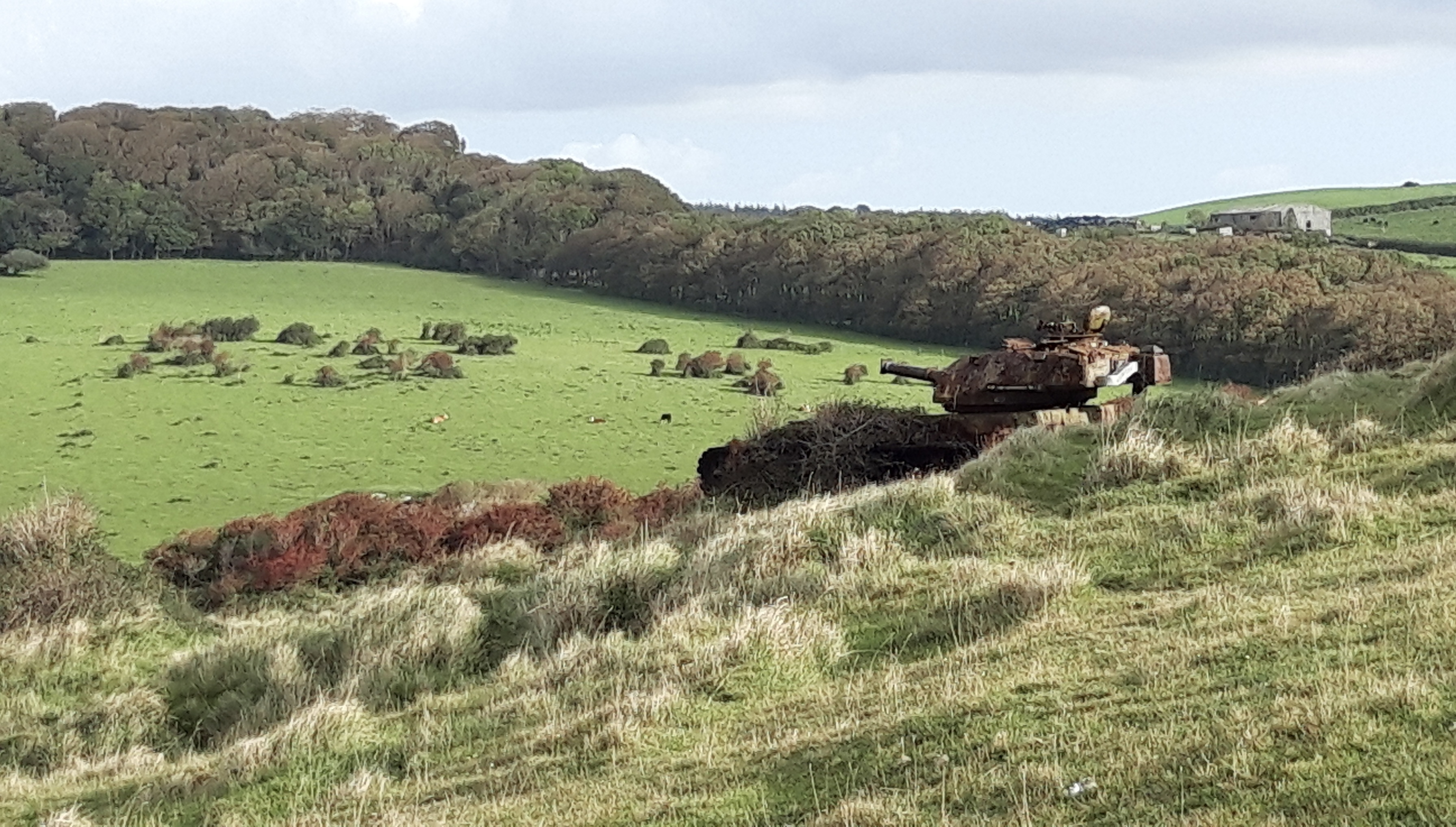
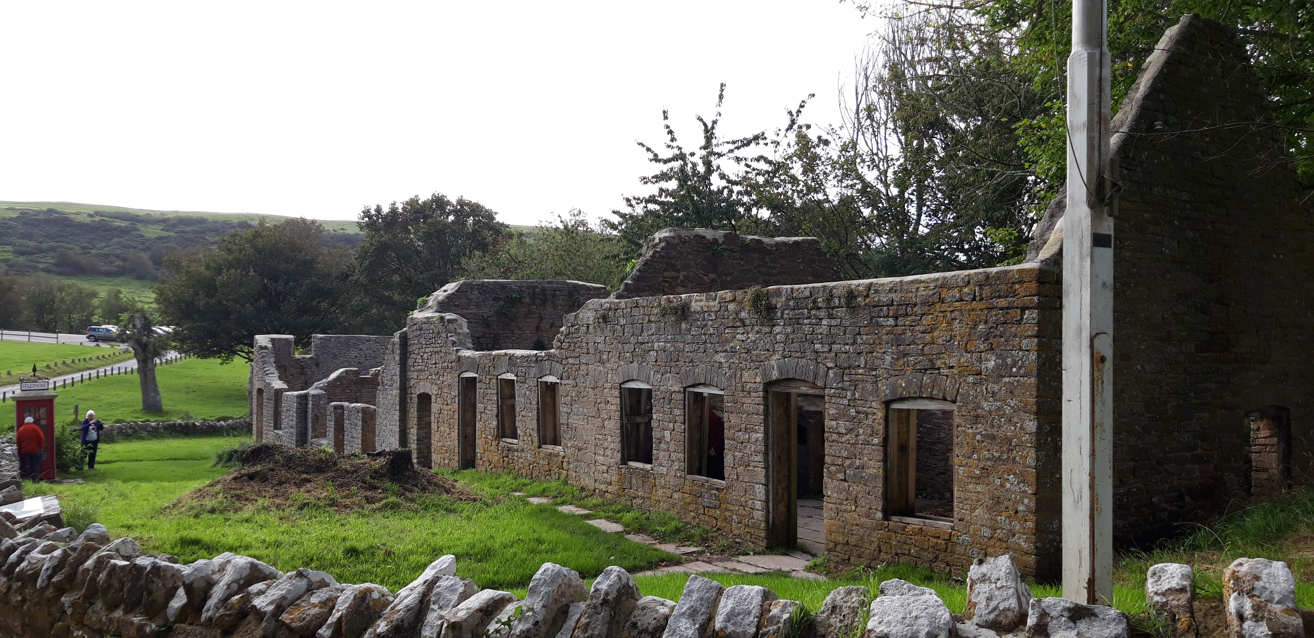
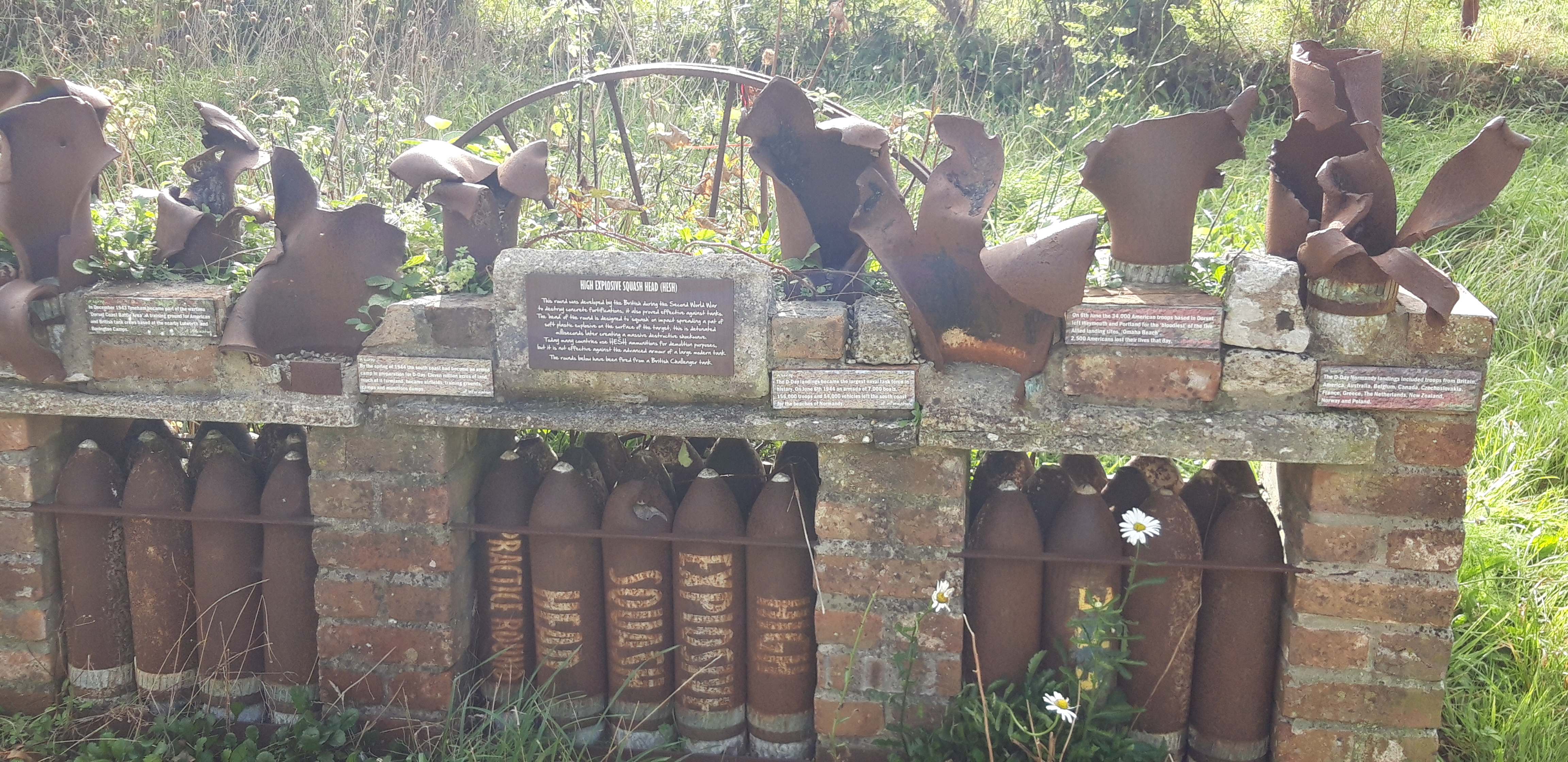
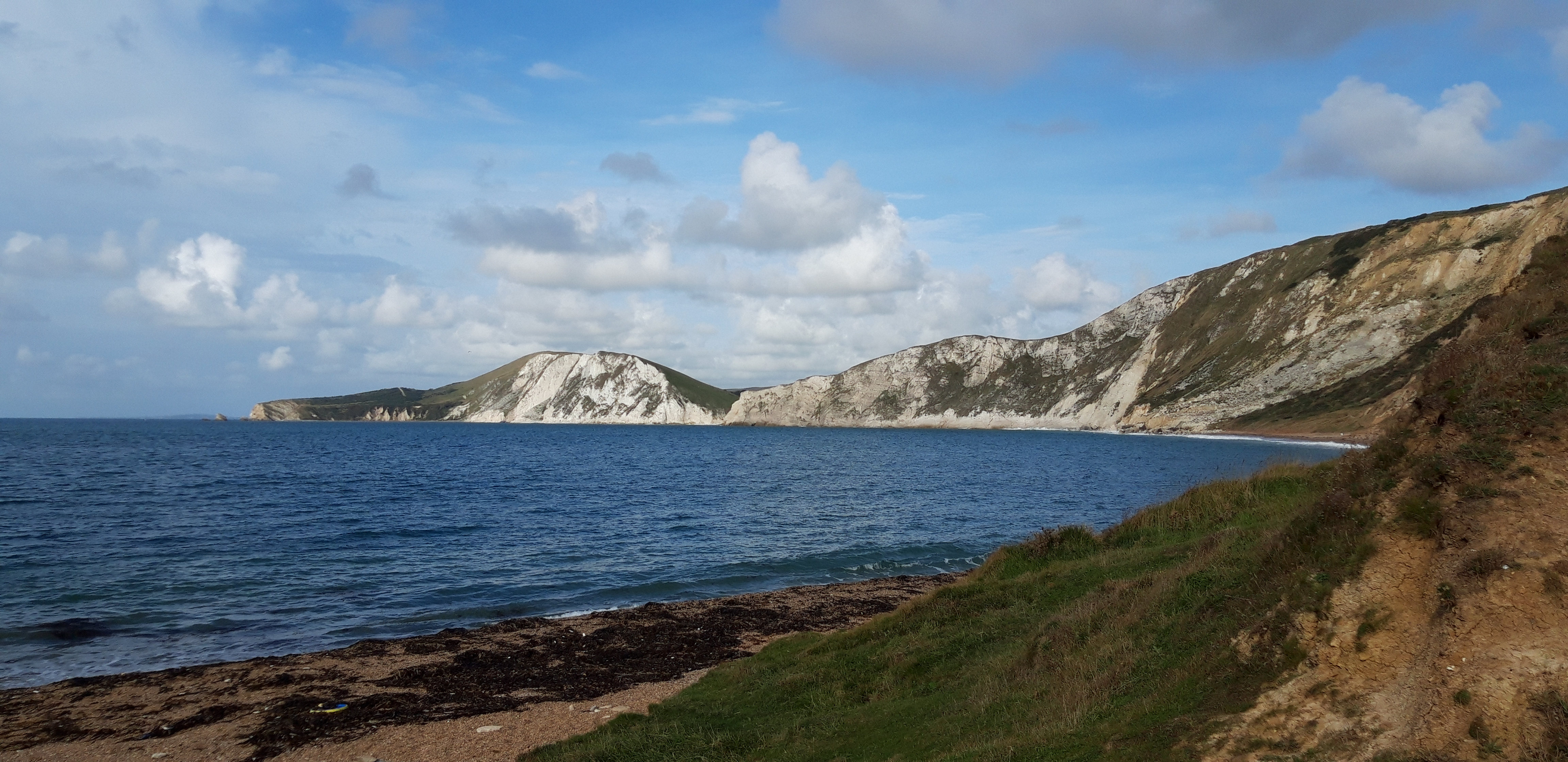
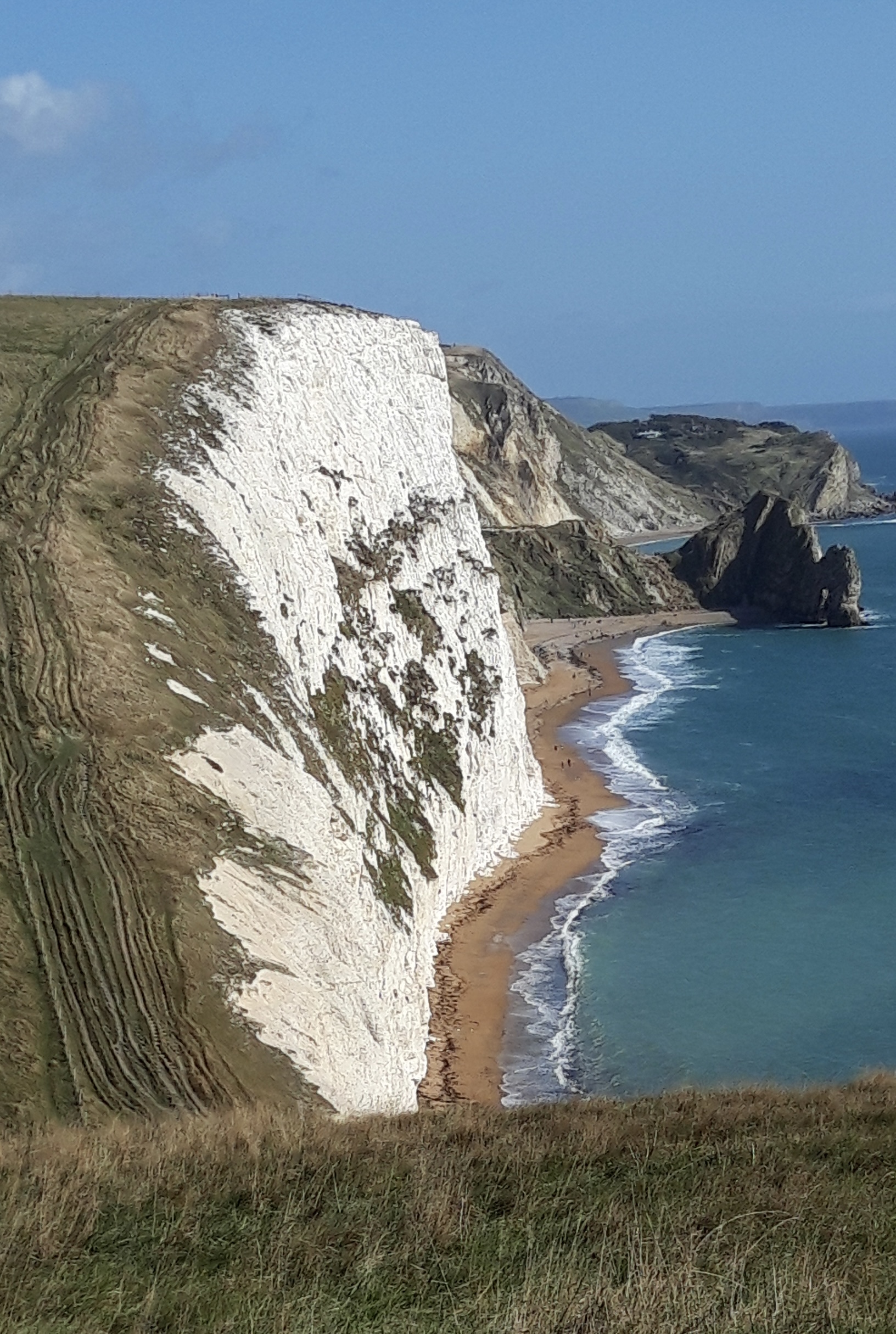
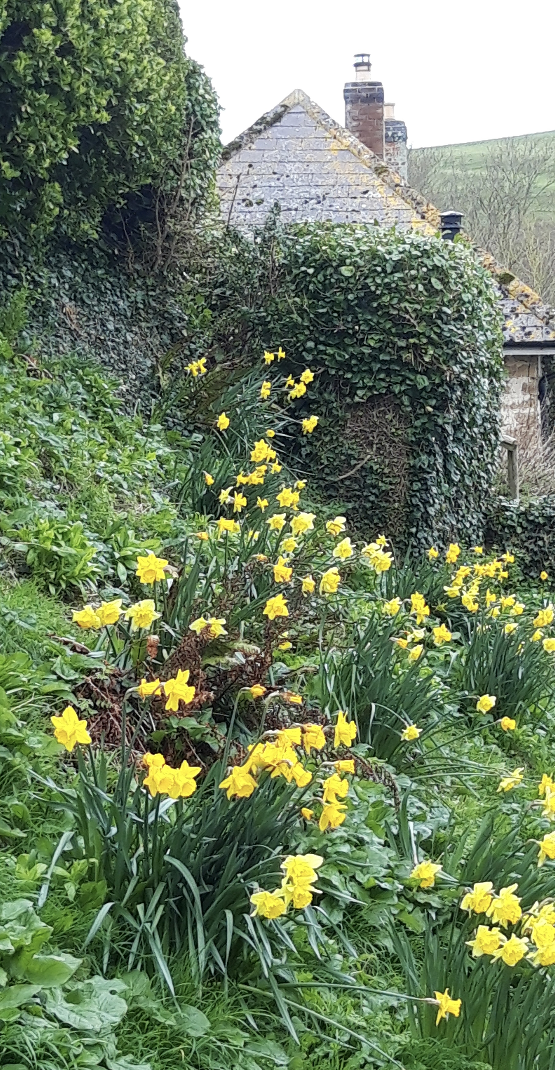
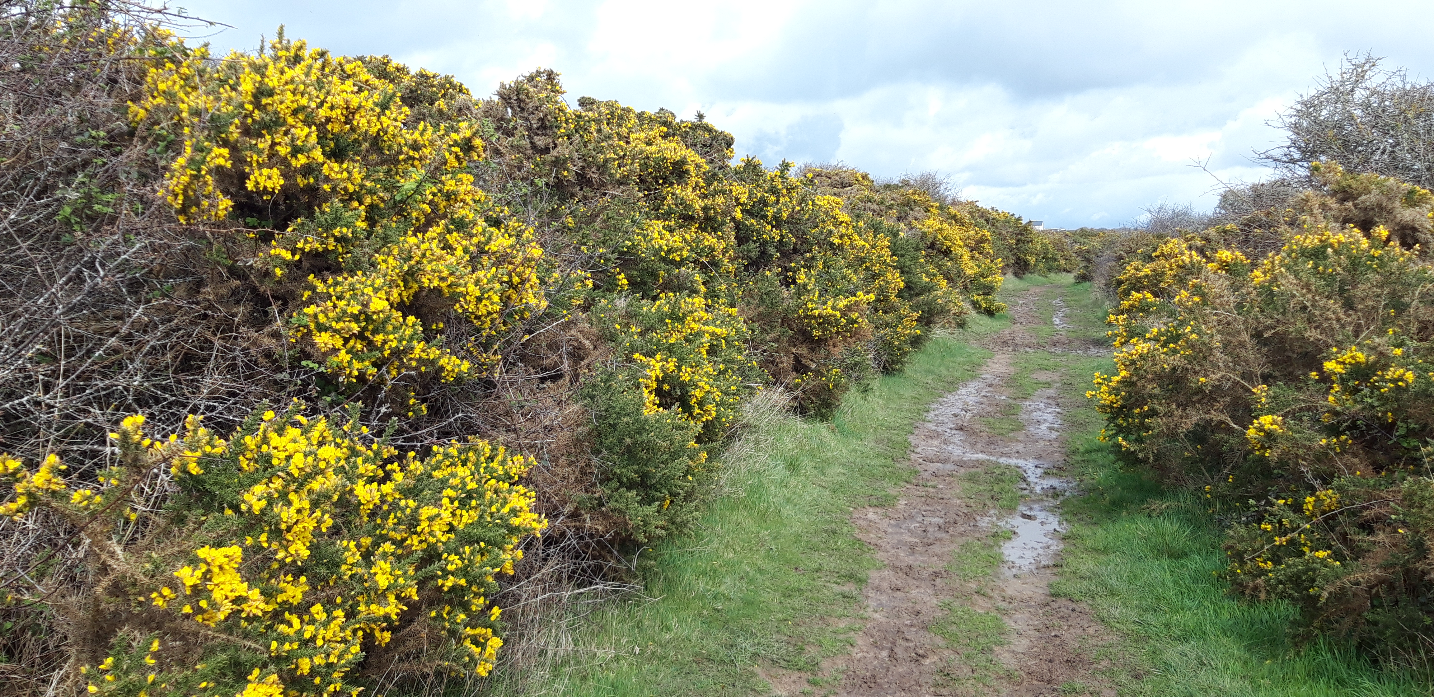
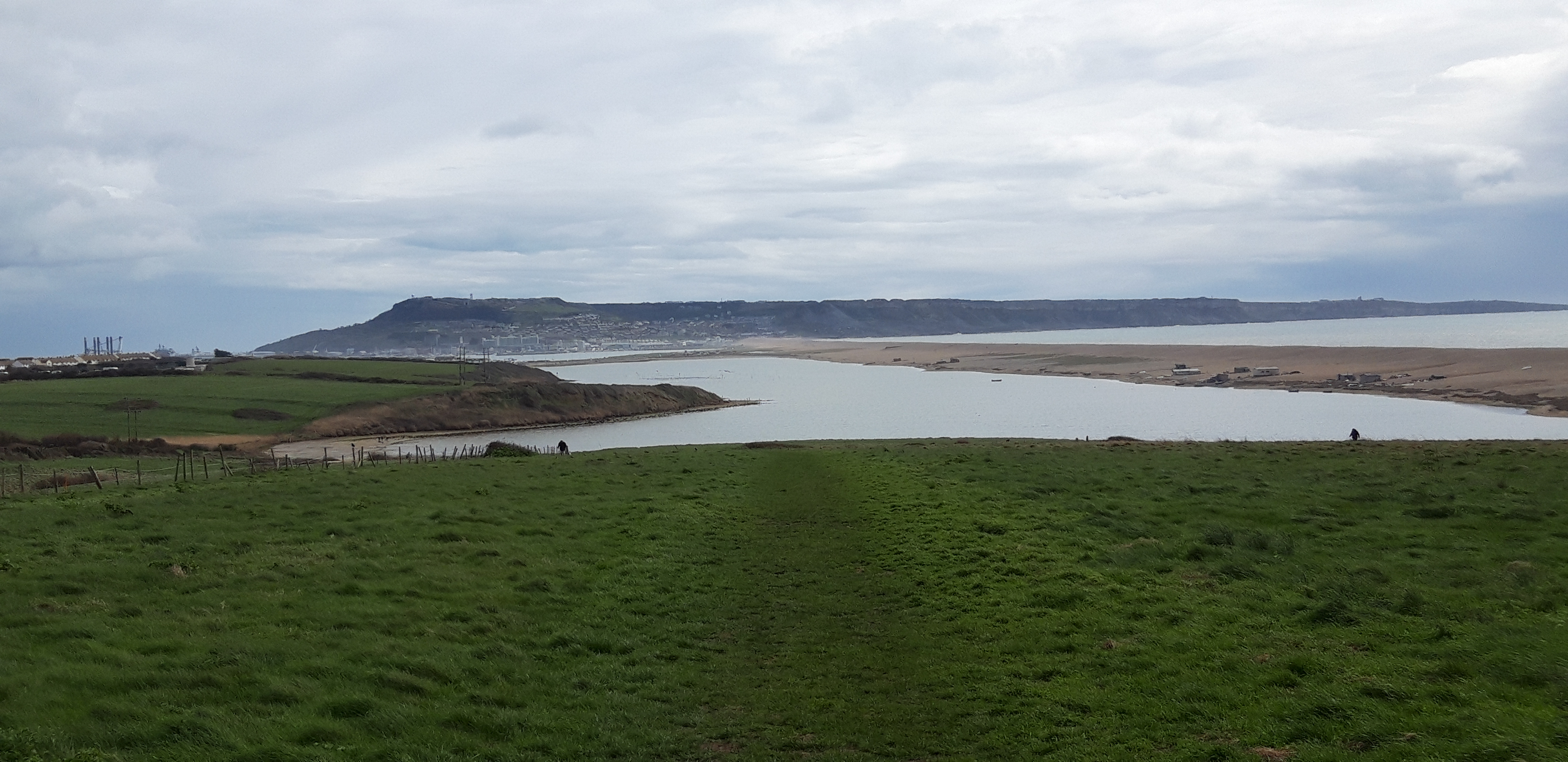
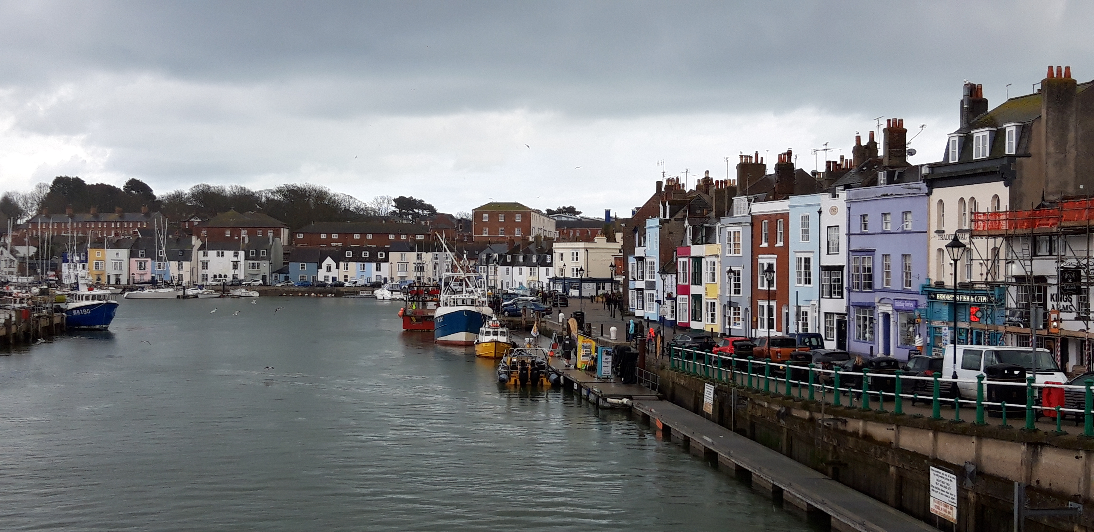
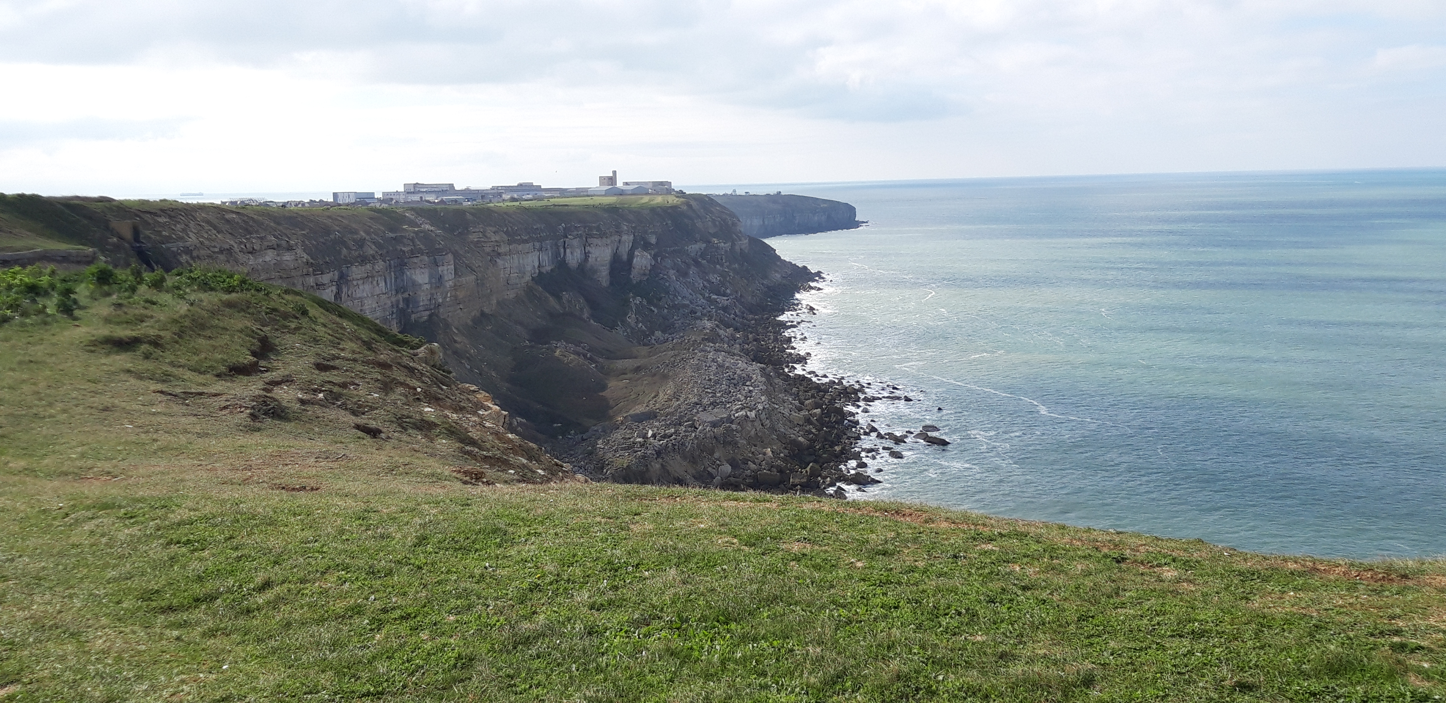
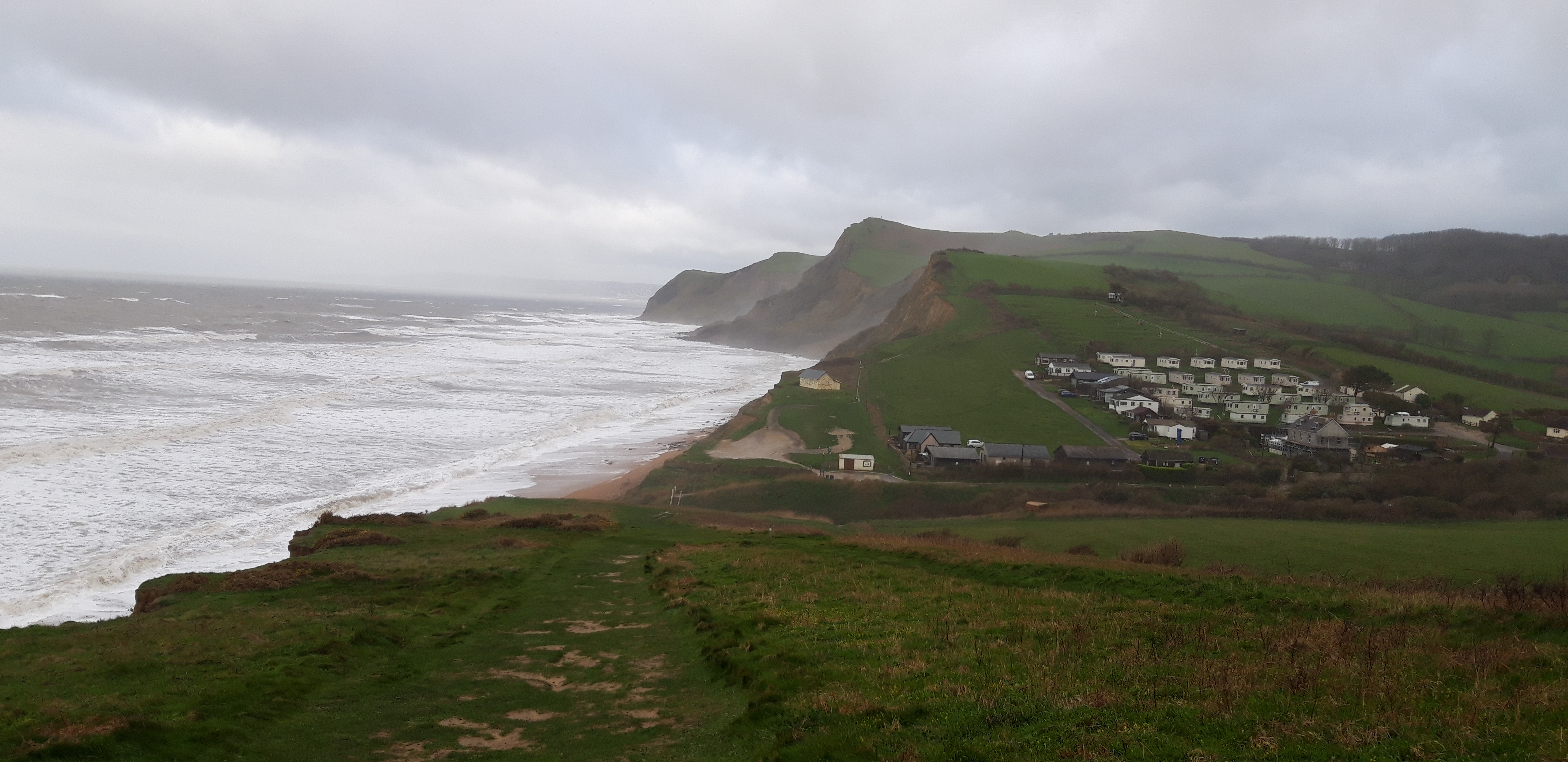
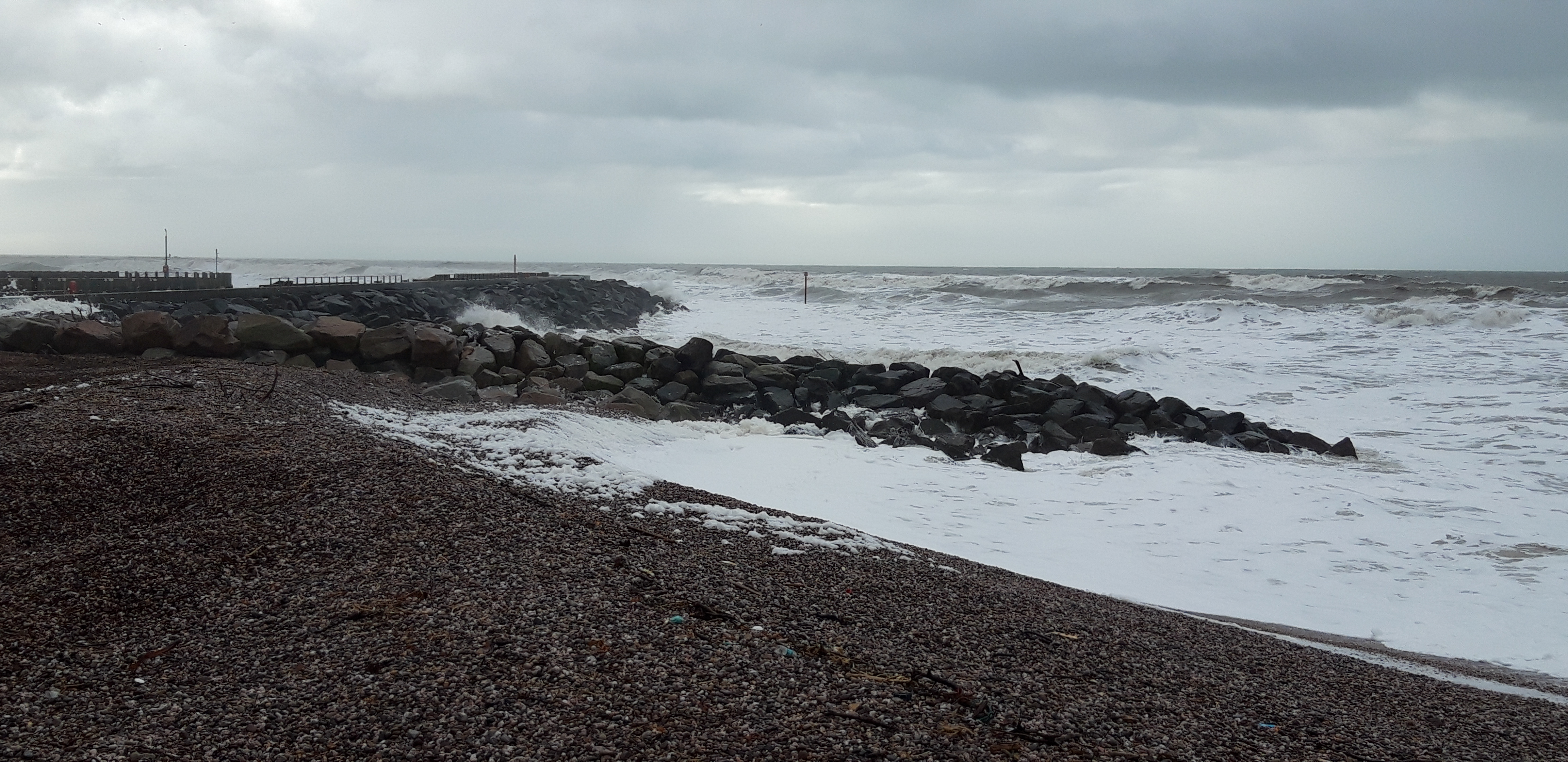
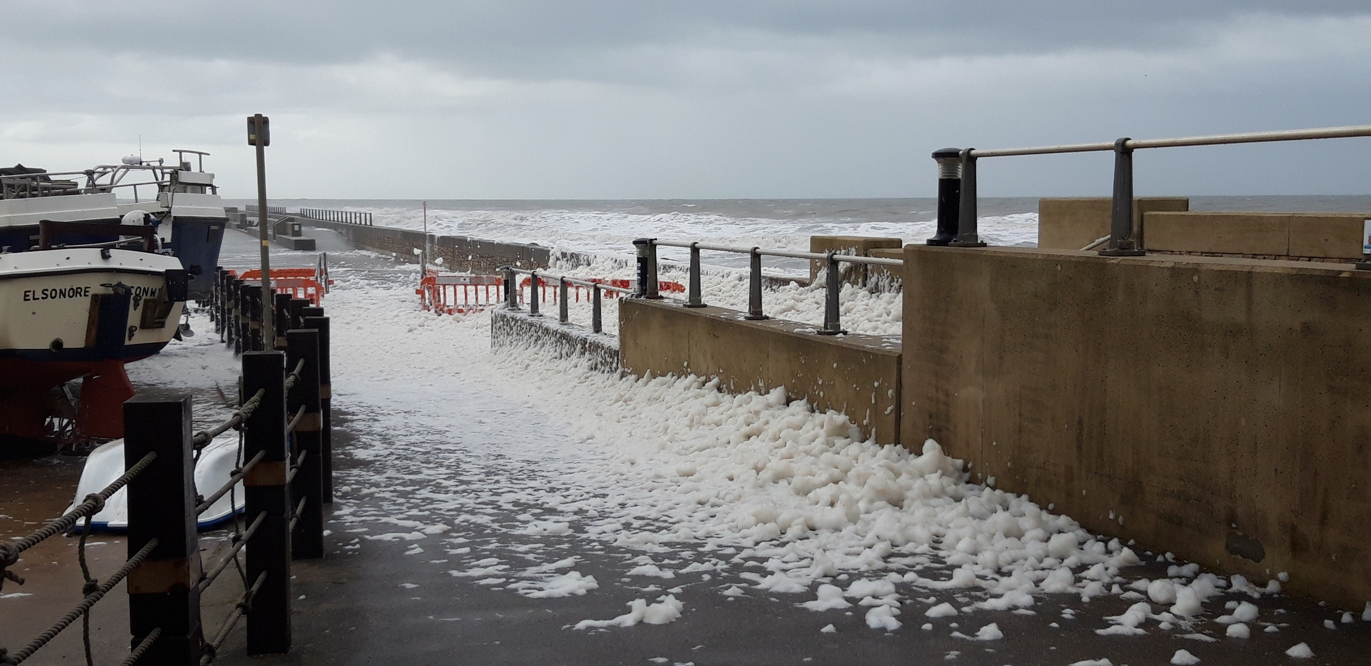
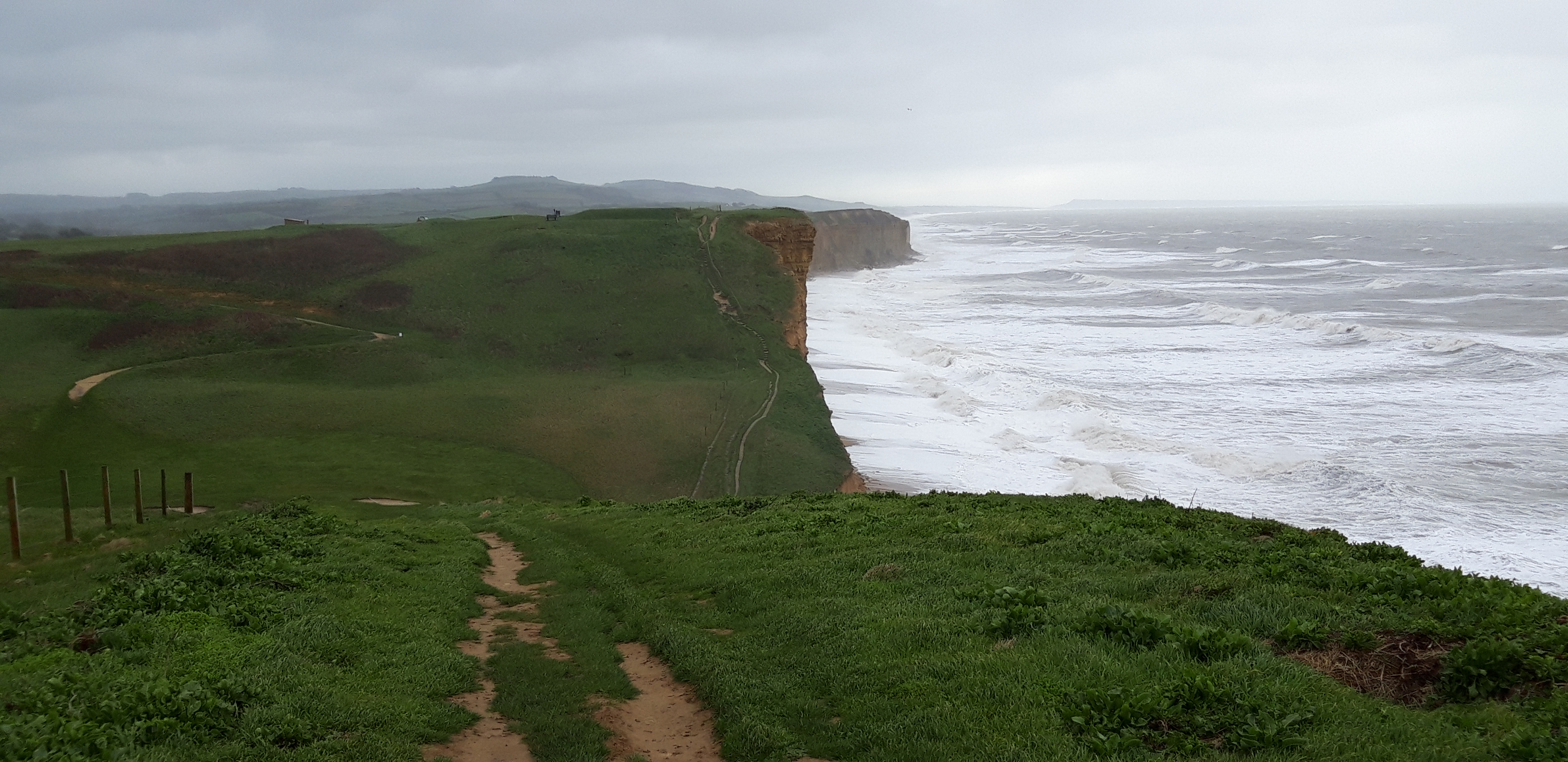
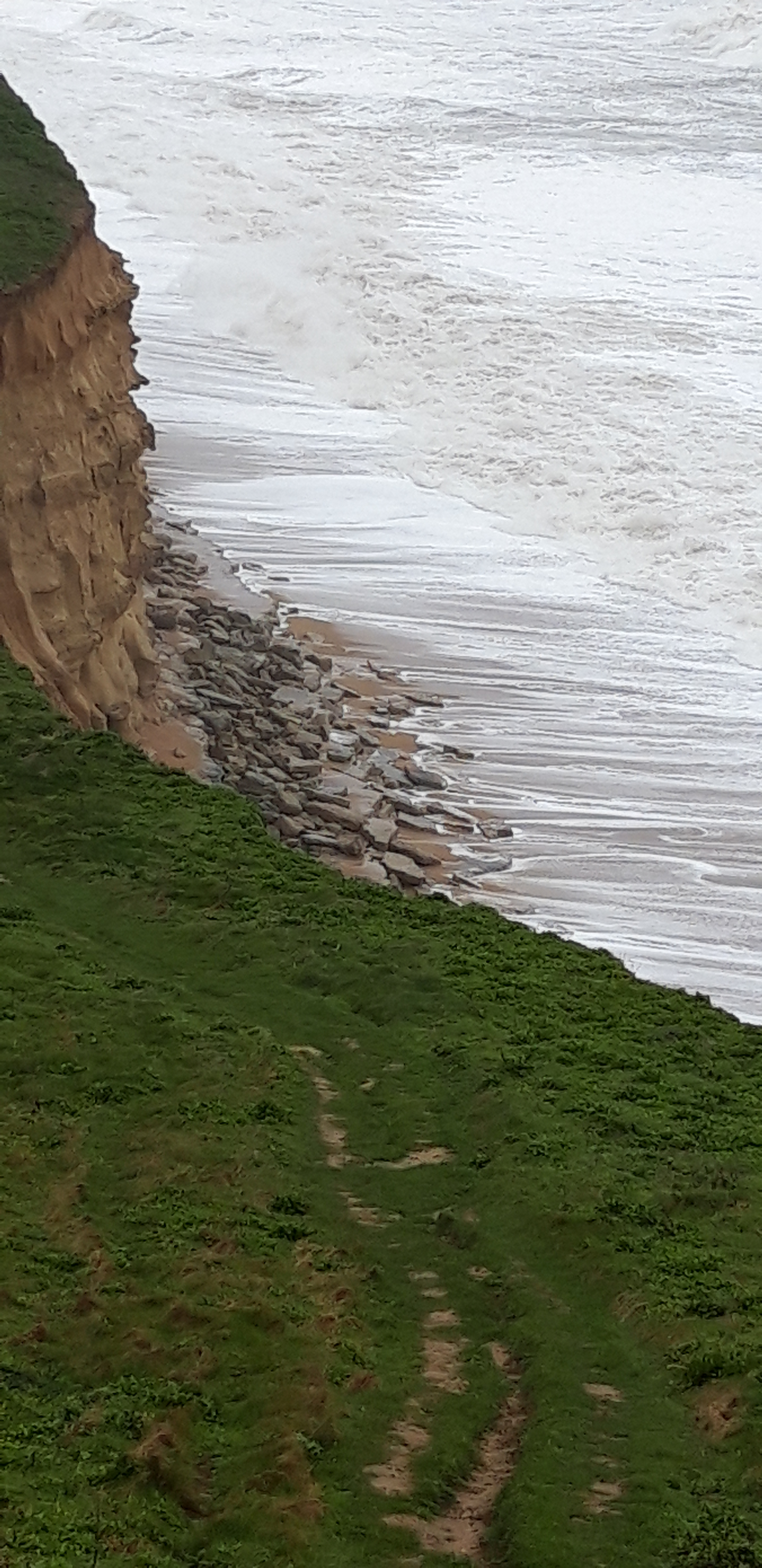
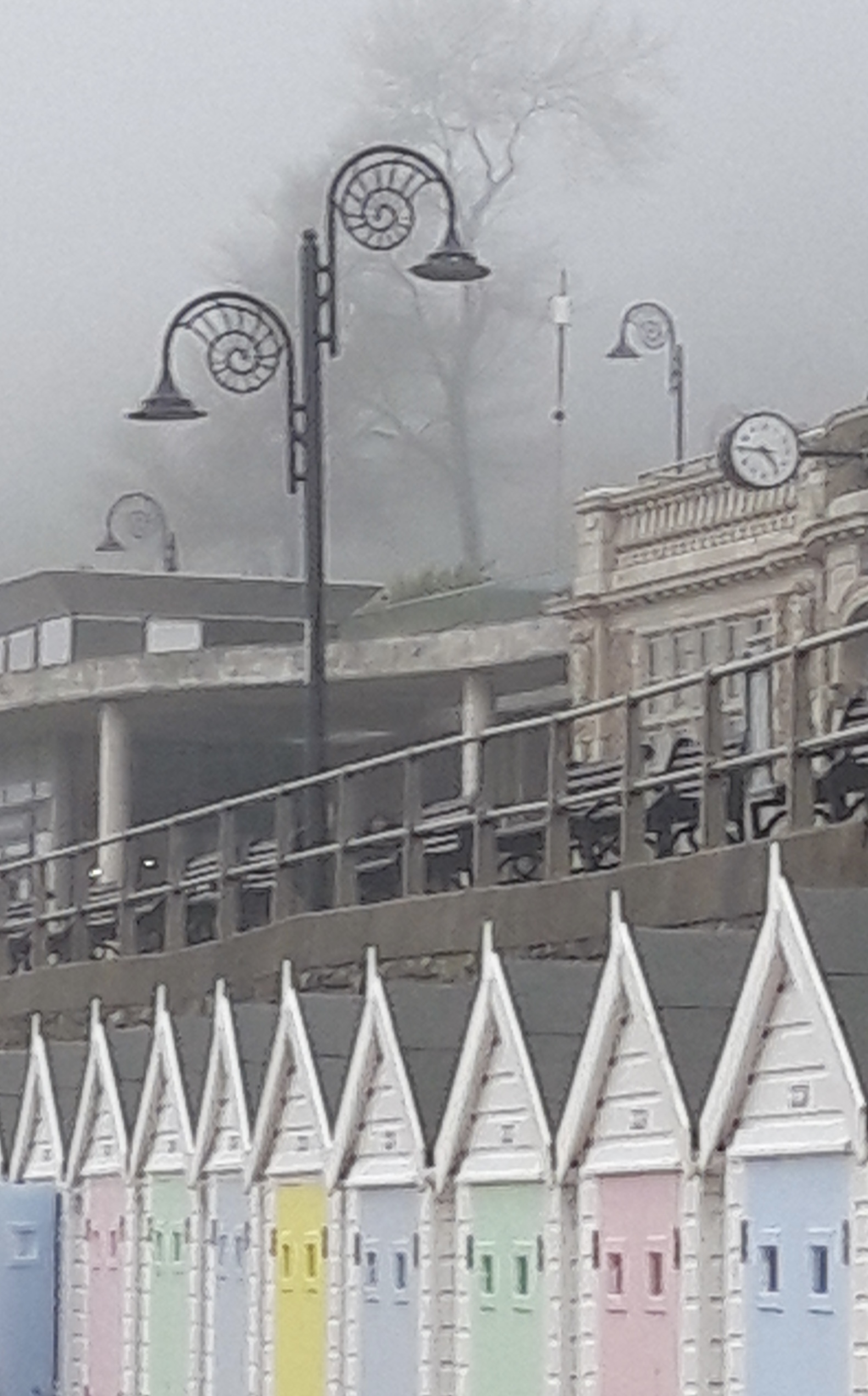
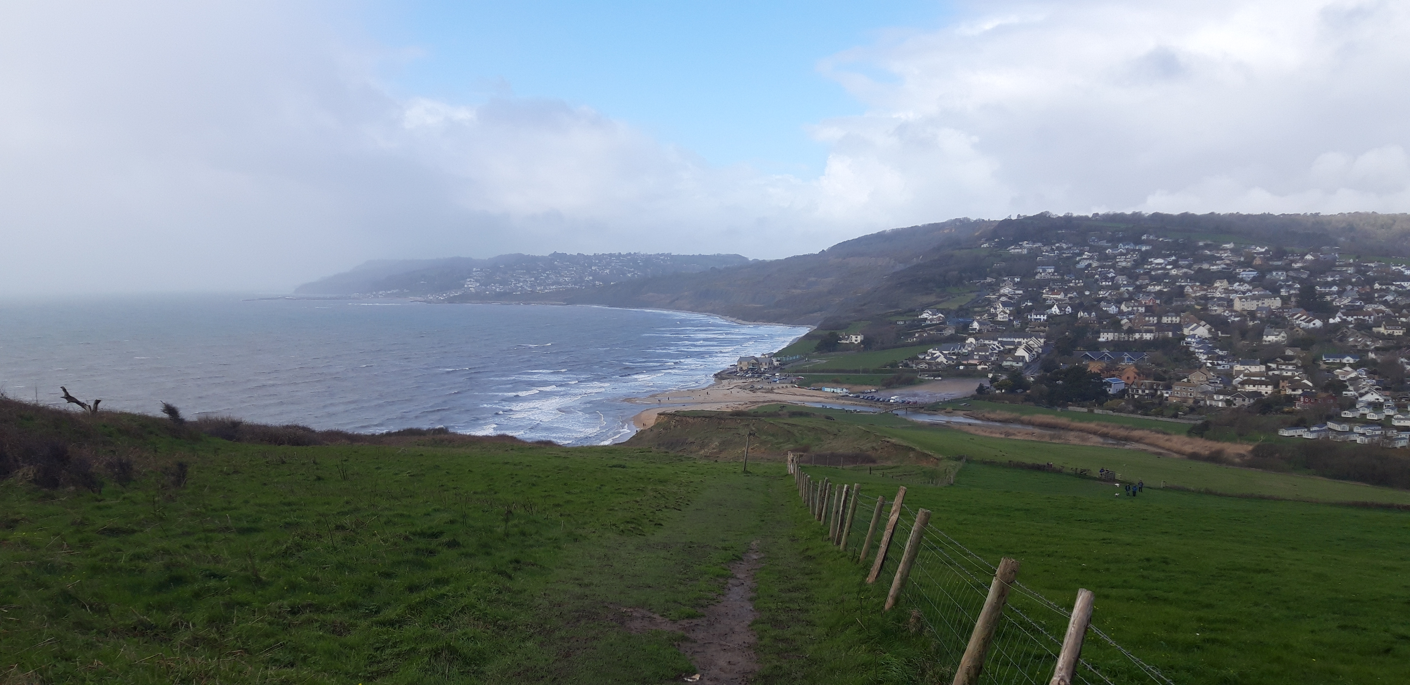
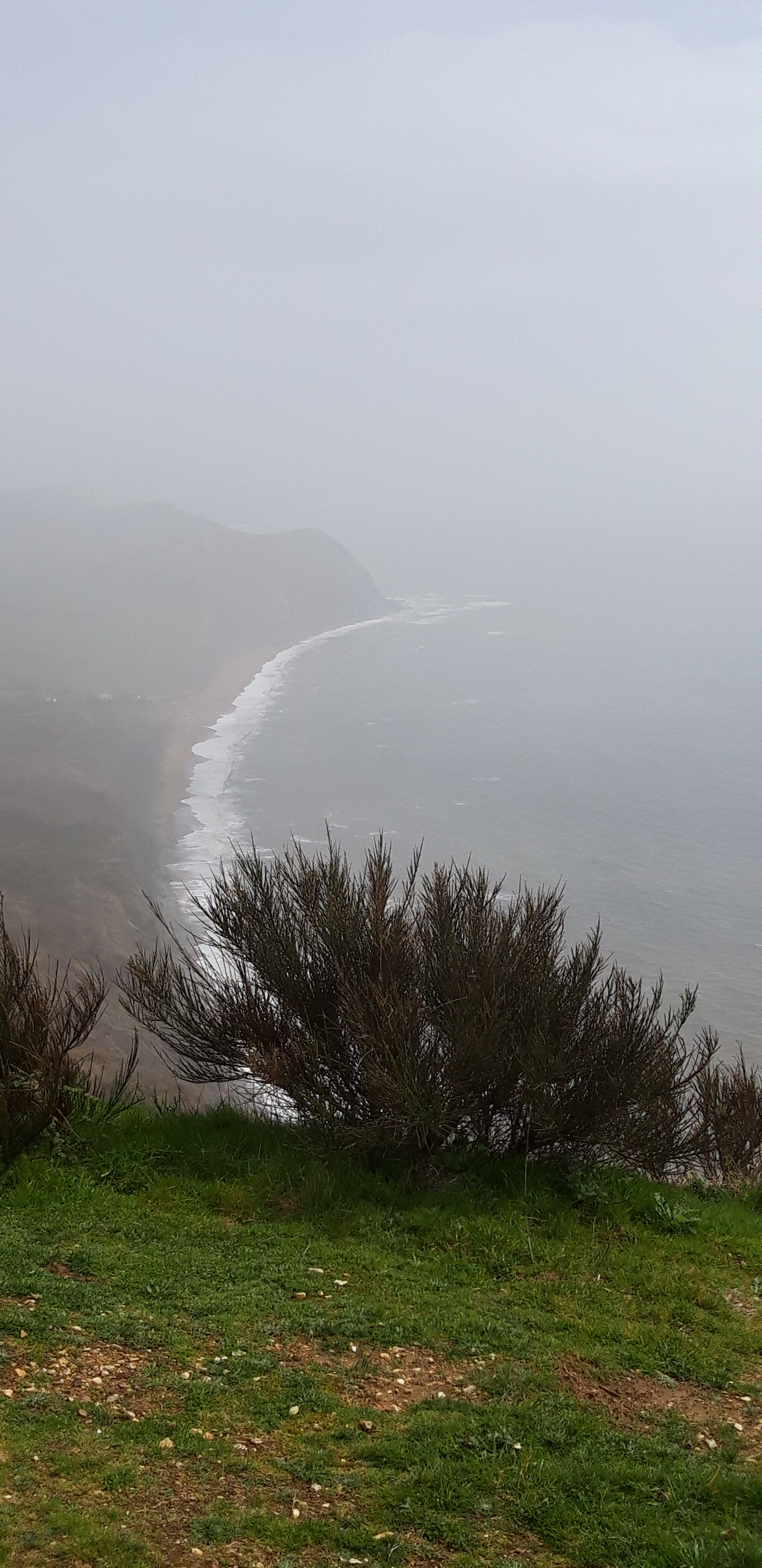
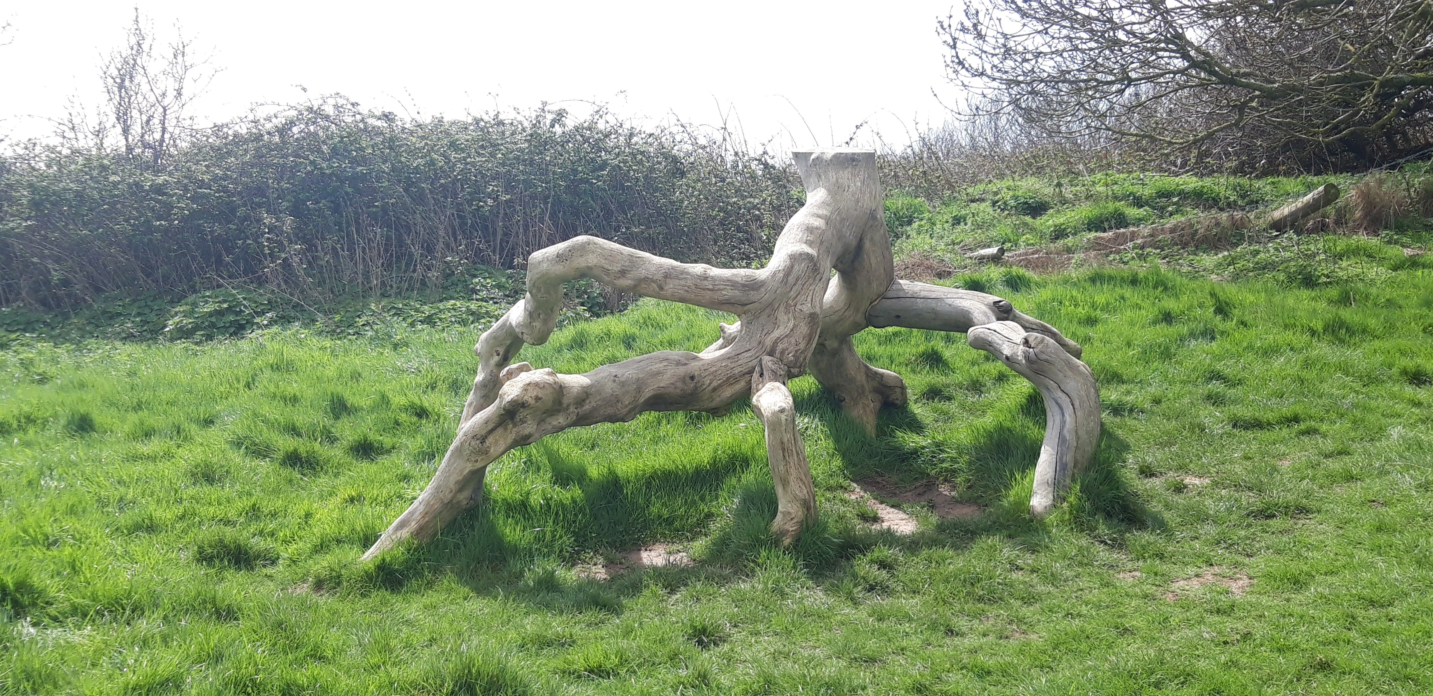
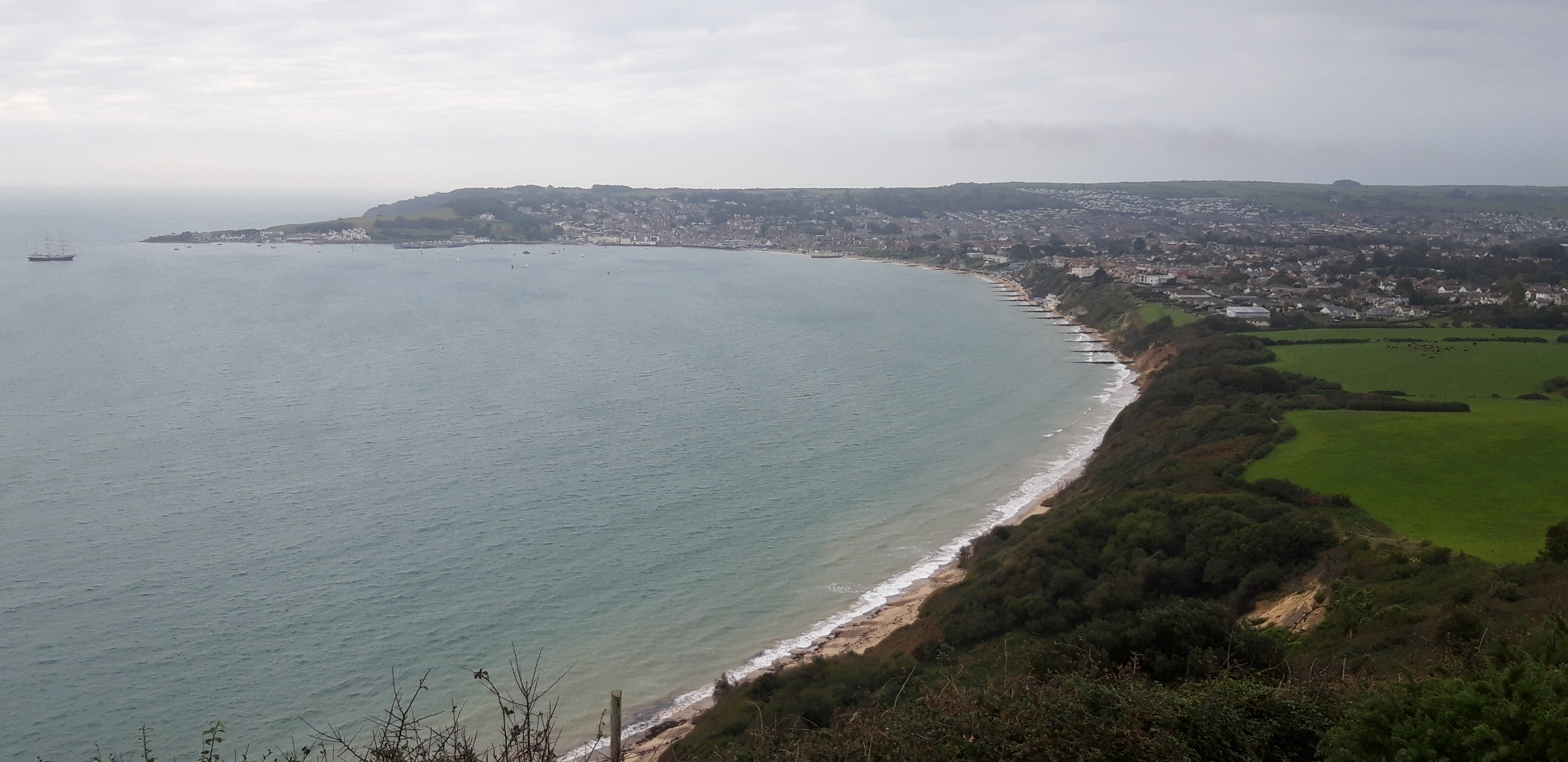
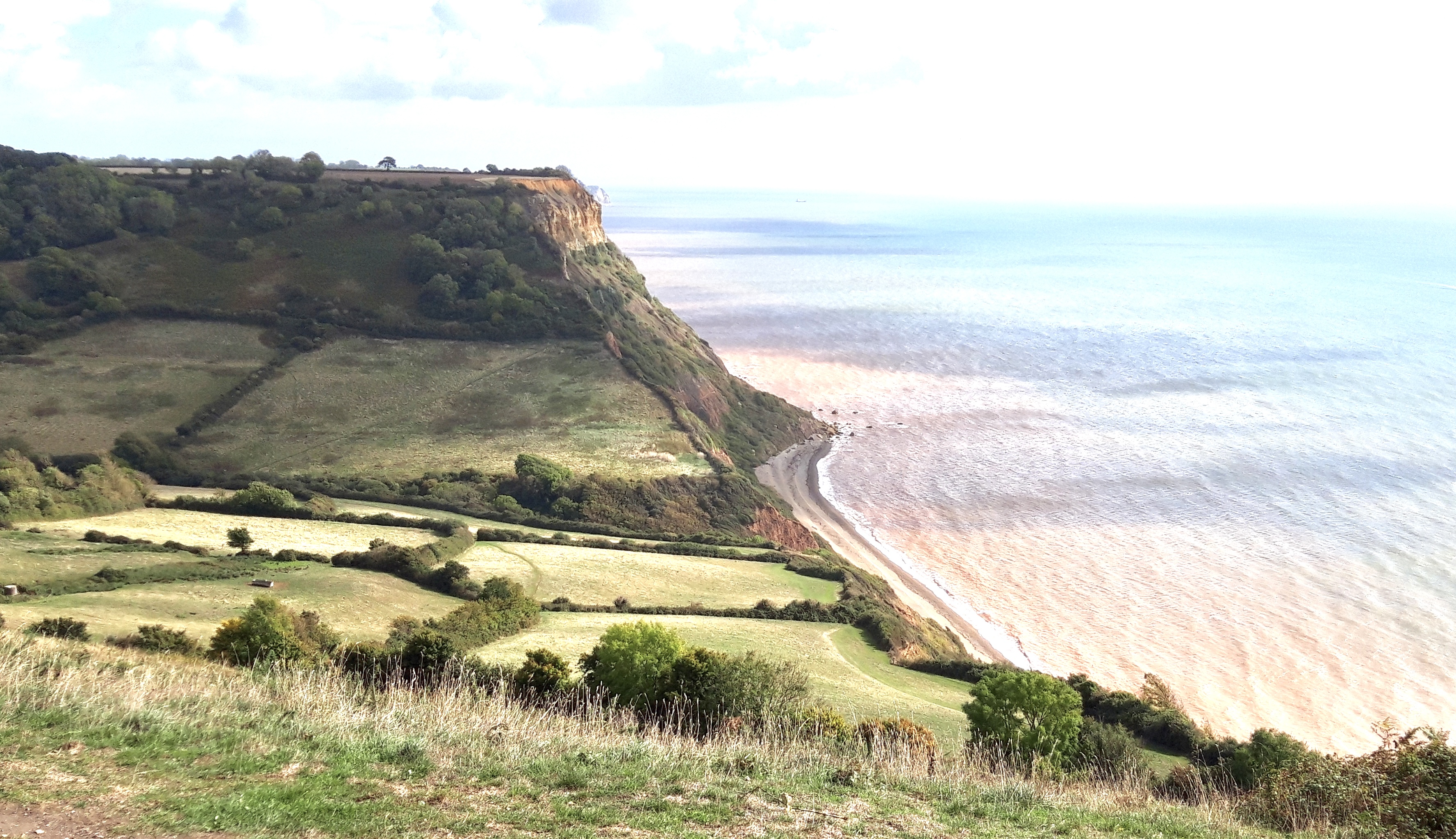
This last day is something of a dying sigh after the full-throated glories of the past 600 miles. There’s a short walk along the Swanage seafront before we tackle the only remaining climb on the Path, a moderately strenuous ascent up onto Ballard Cliff.

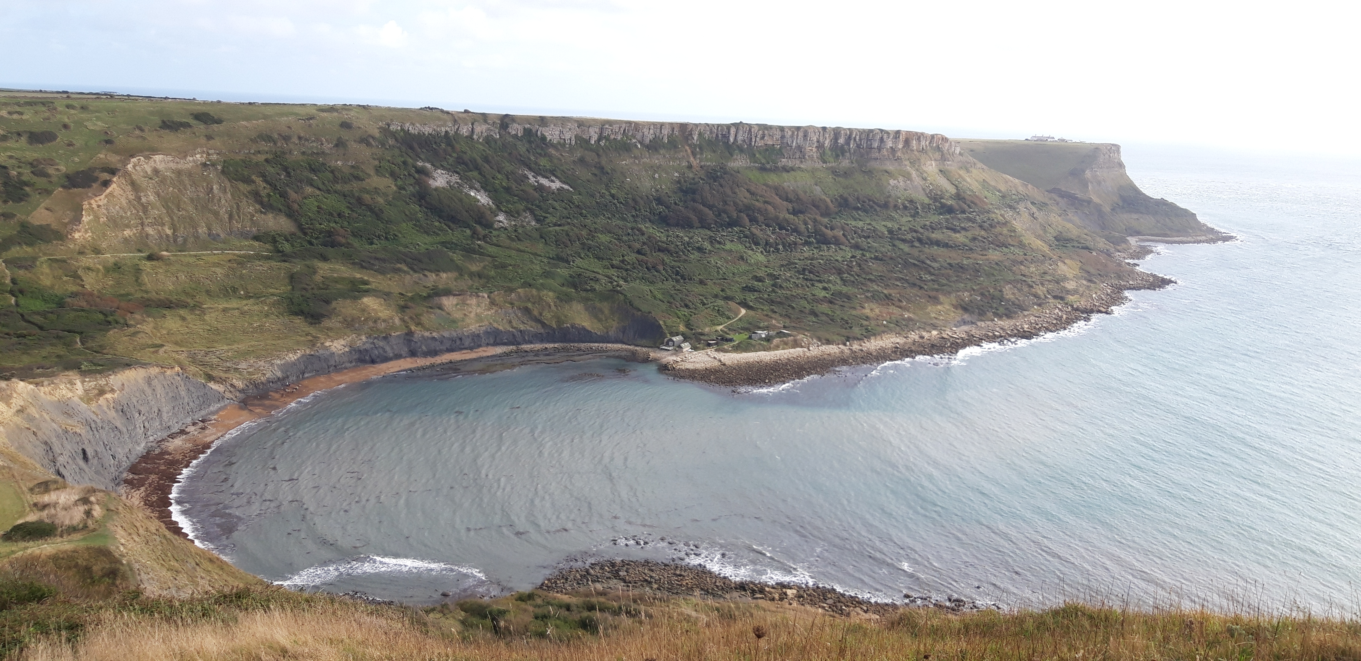
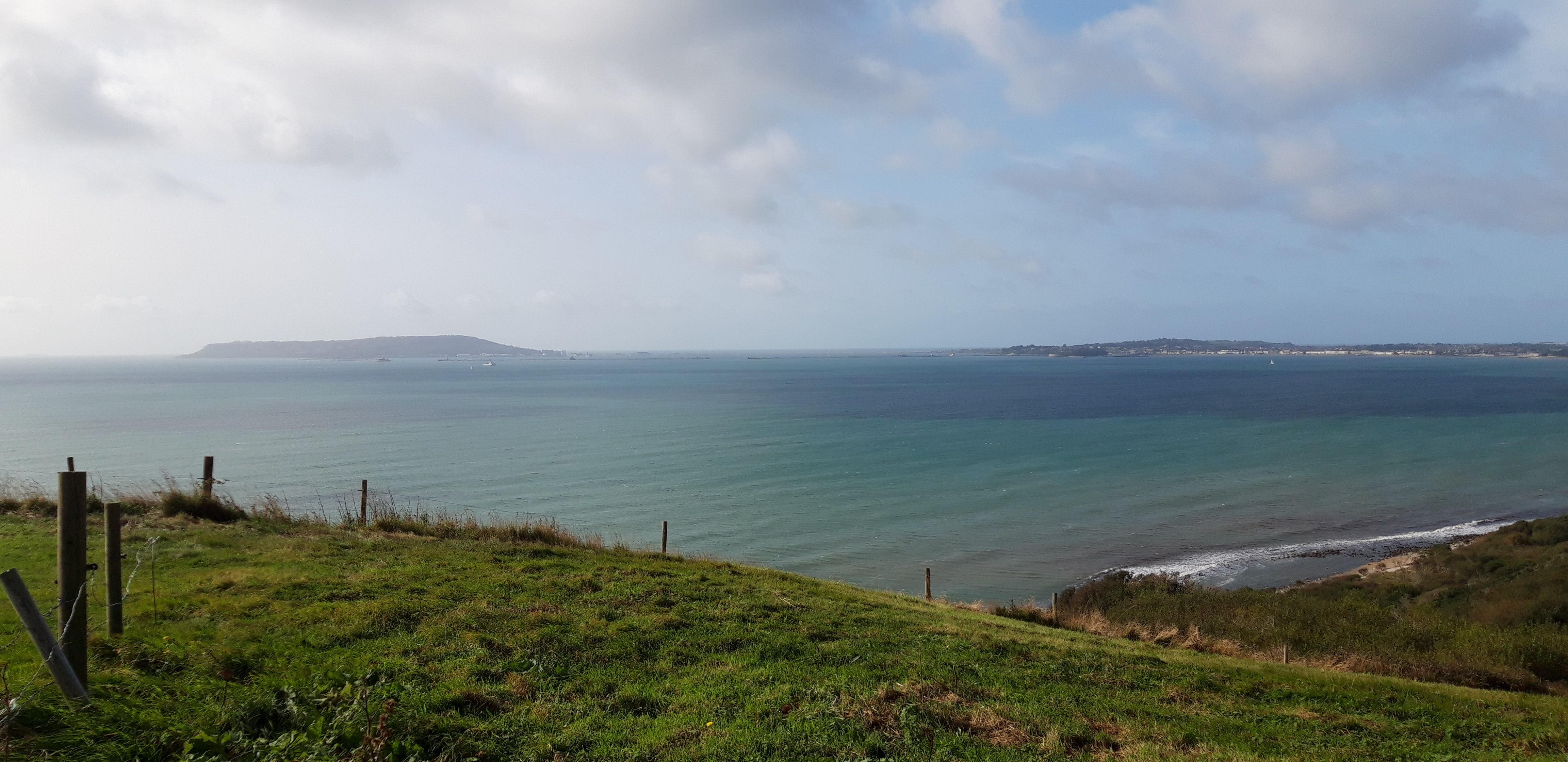
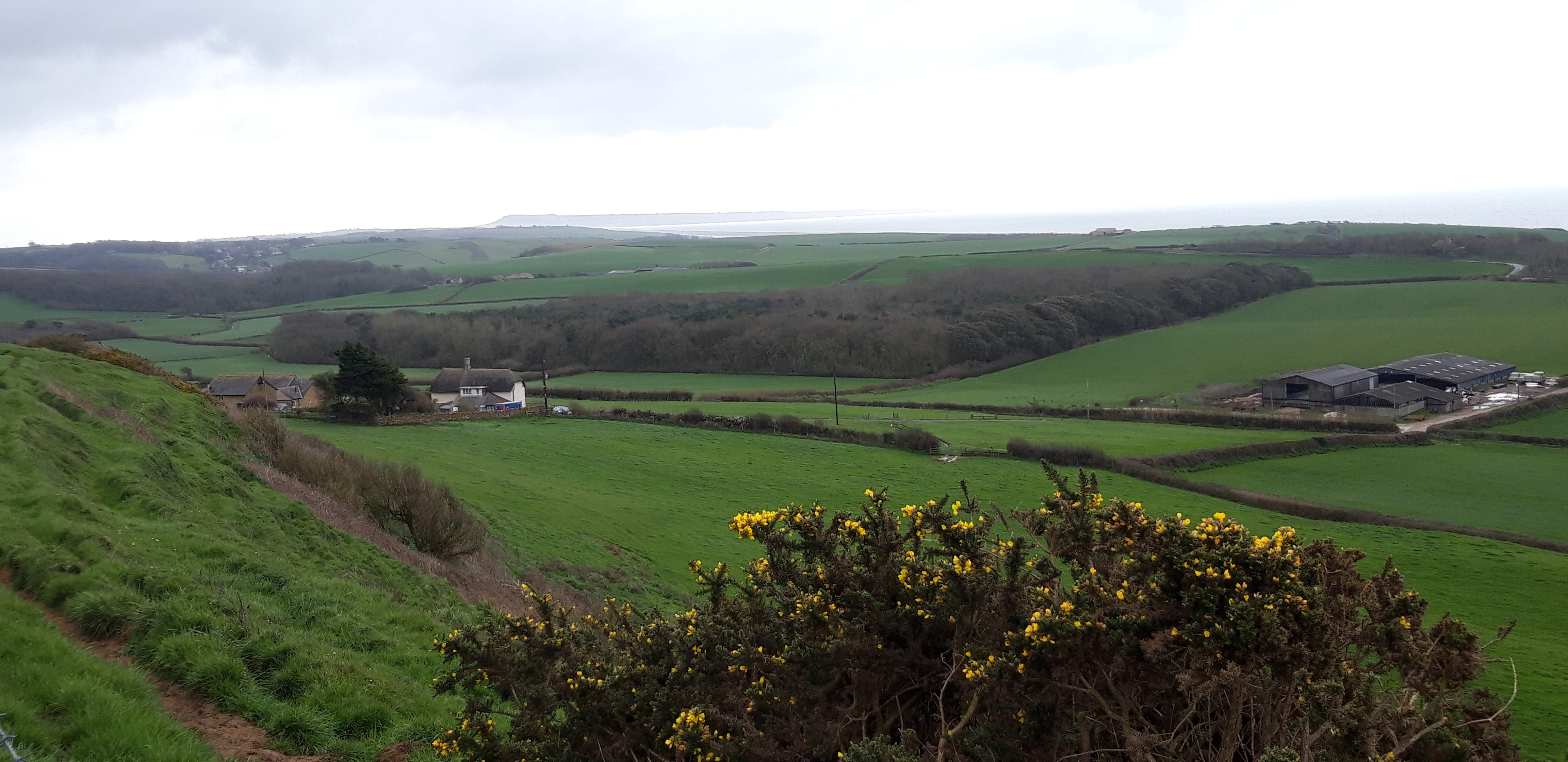
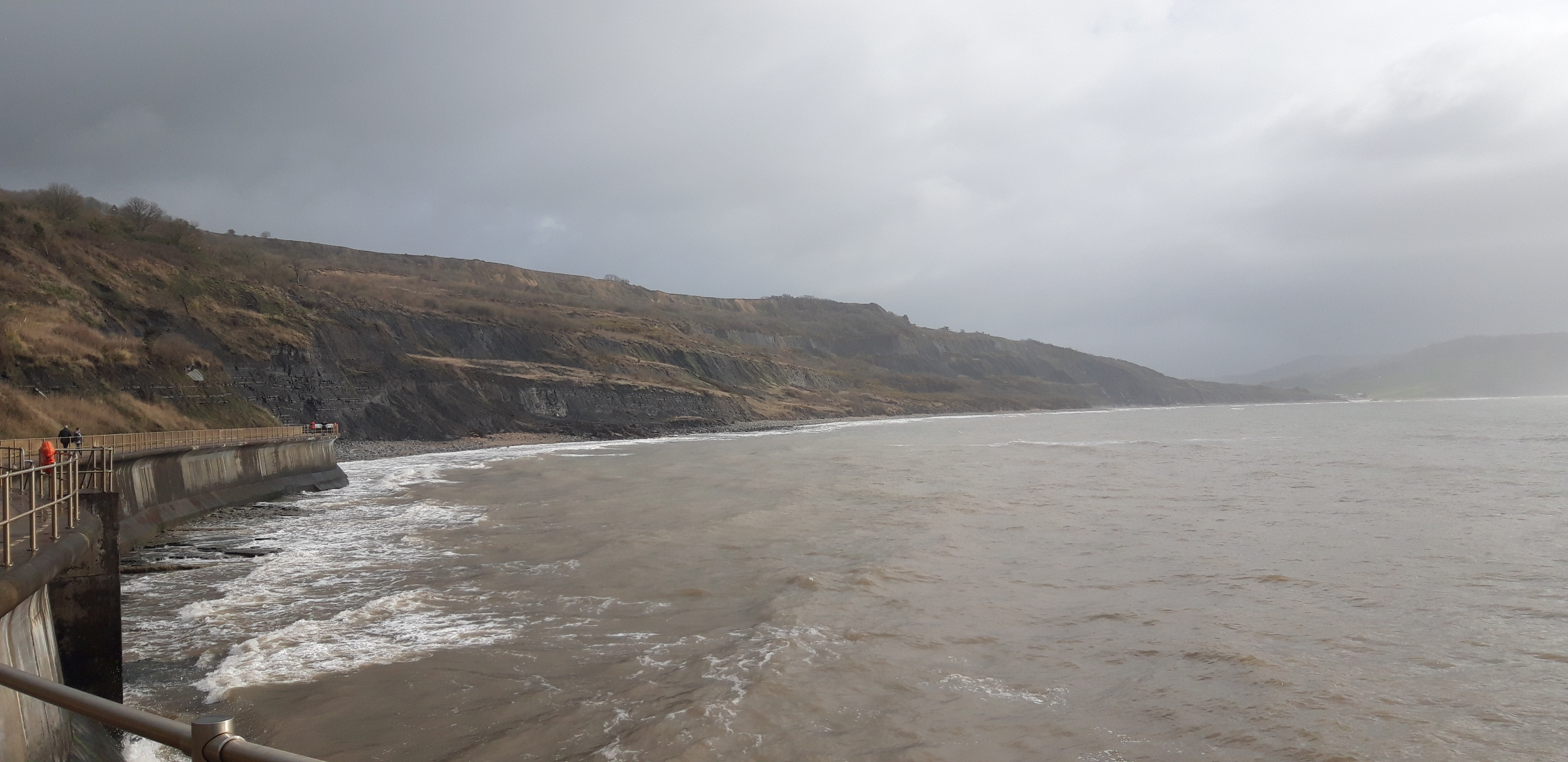
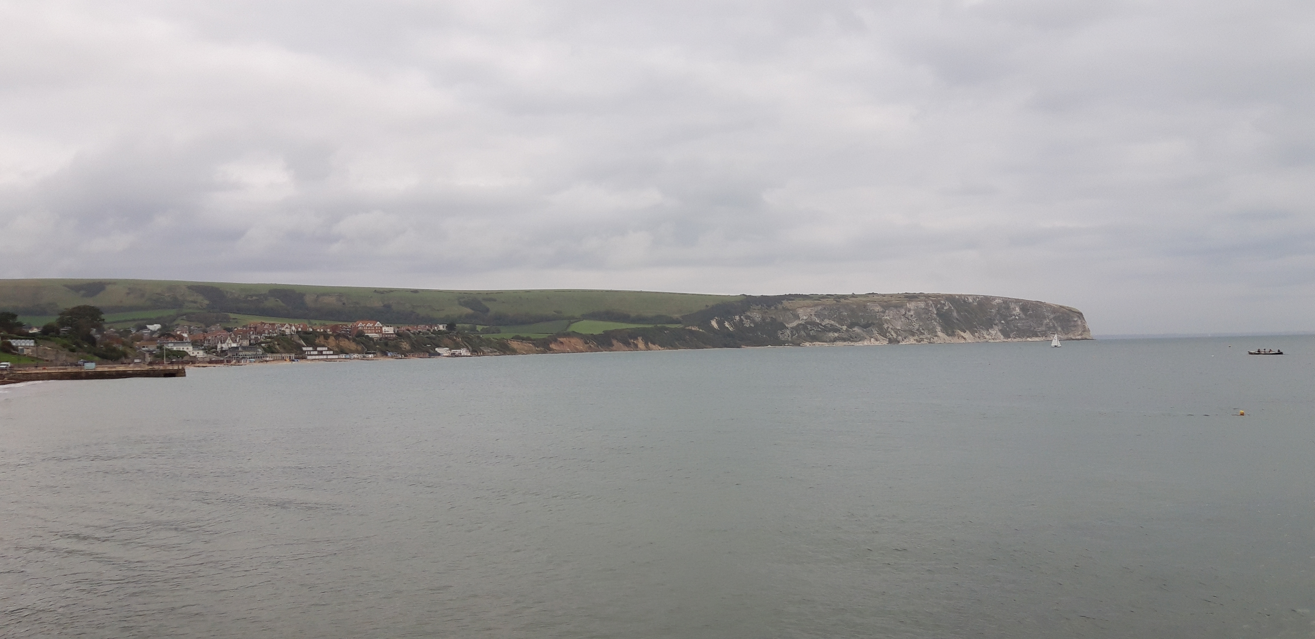
Once up, there’s a fine view back over Swanage and the coast we walked yesterday.

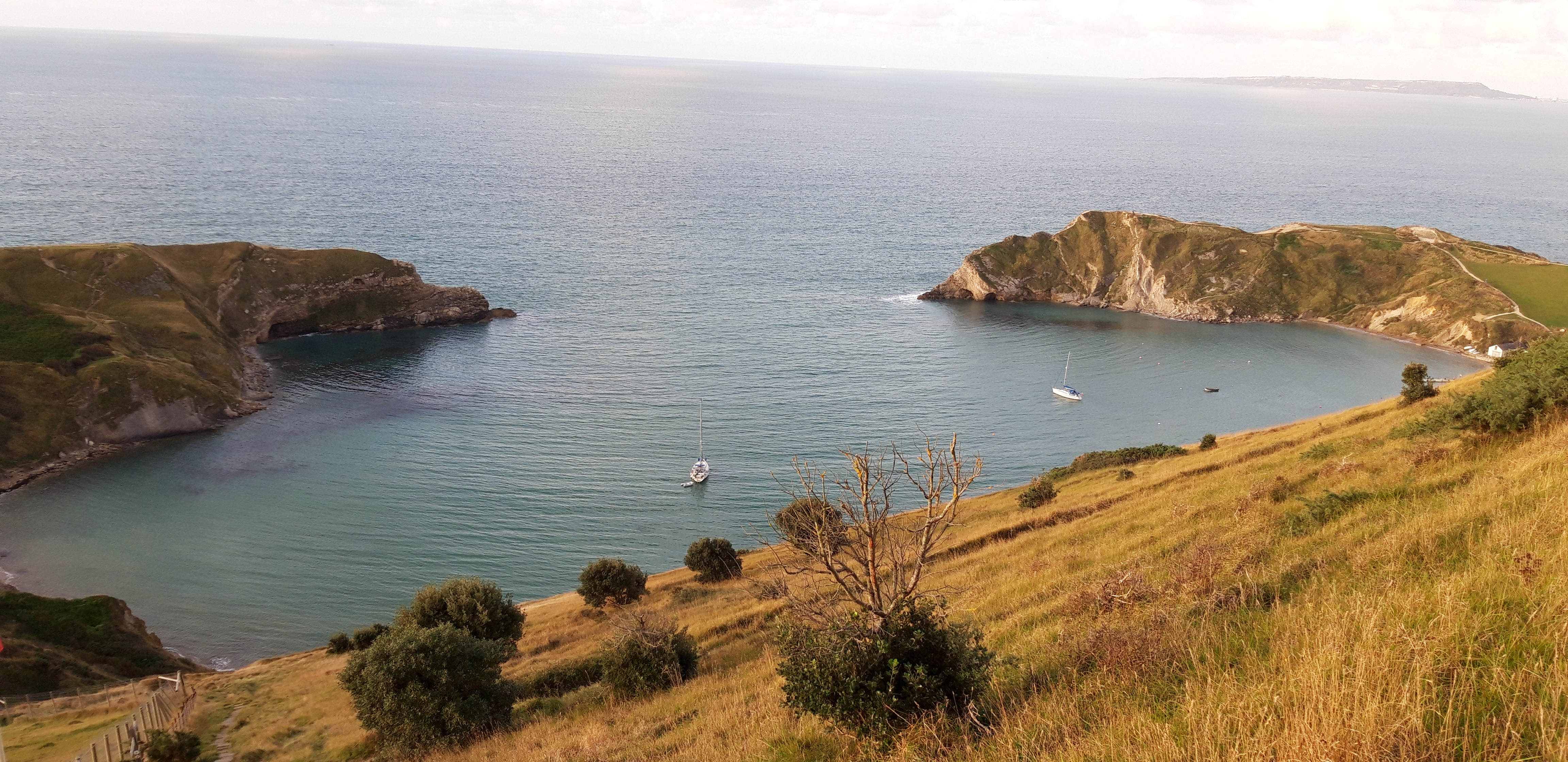
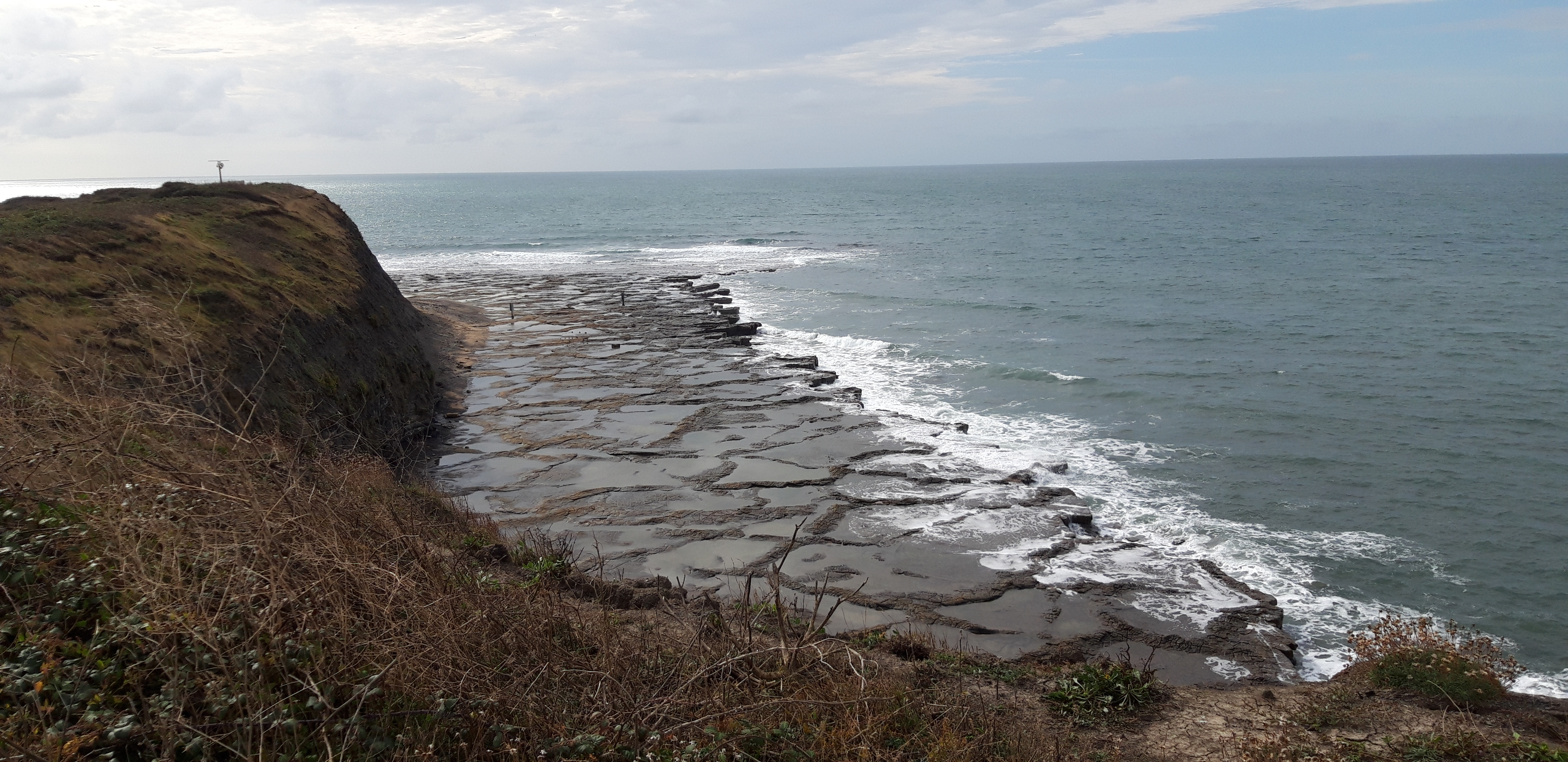
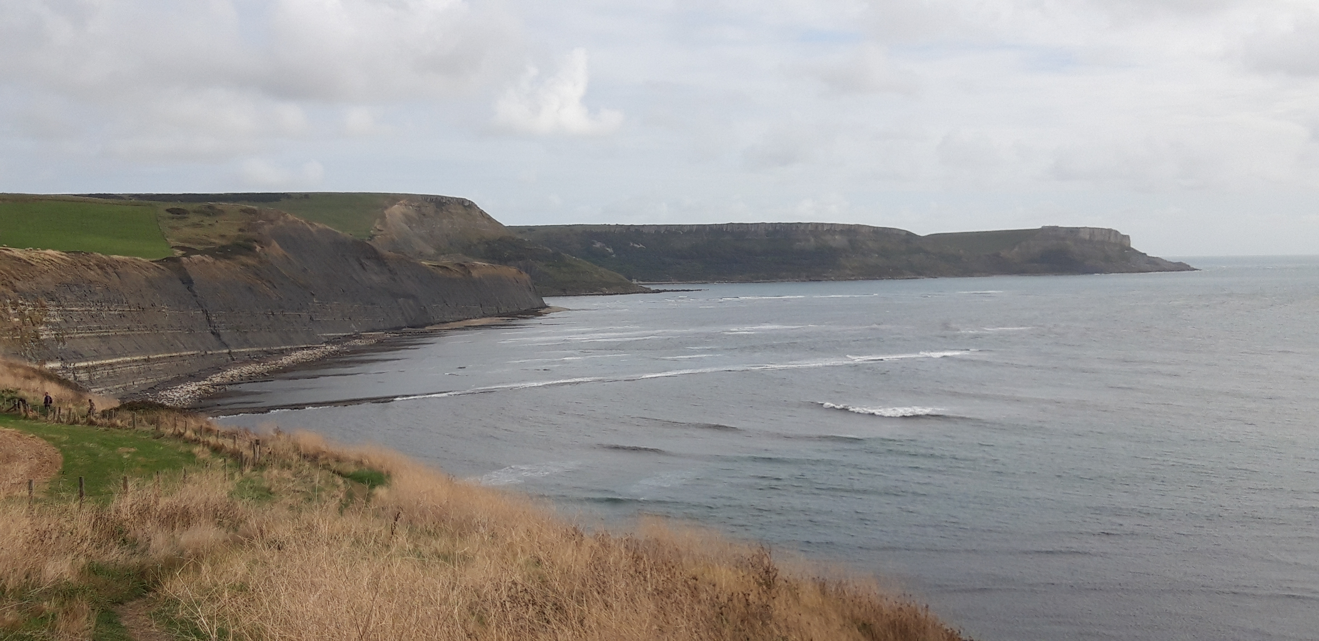
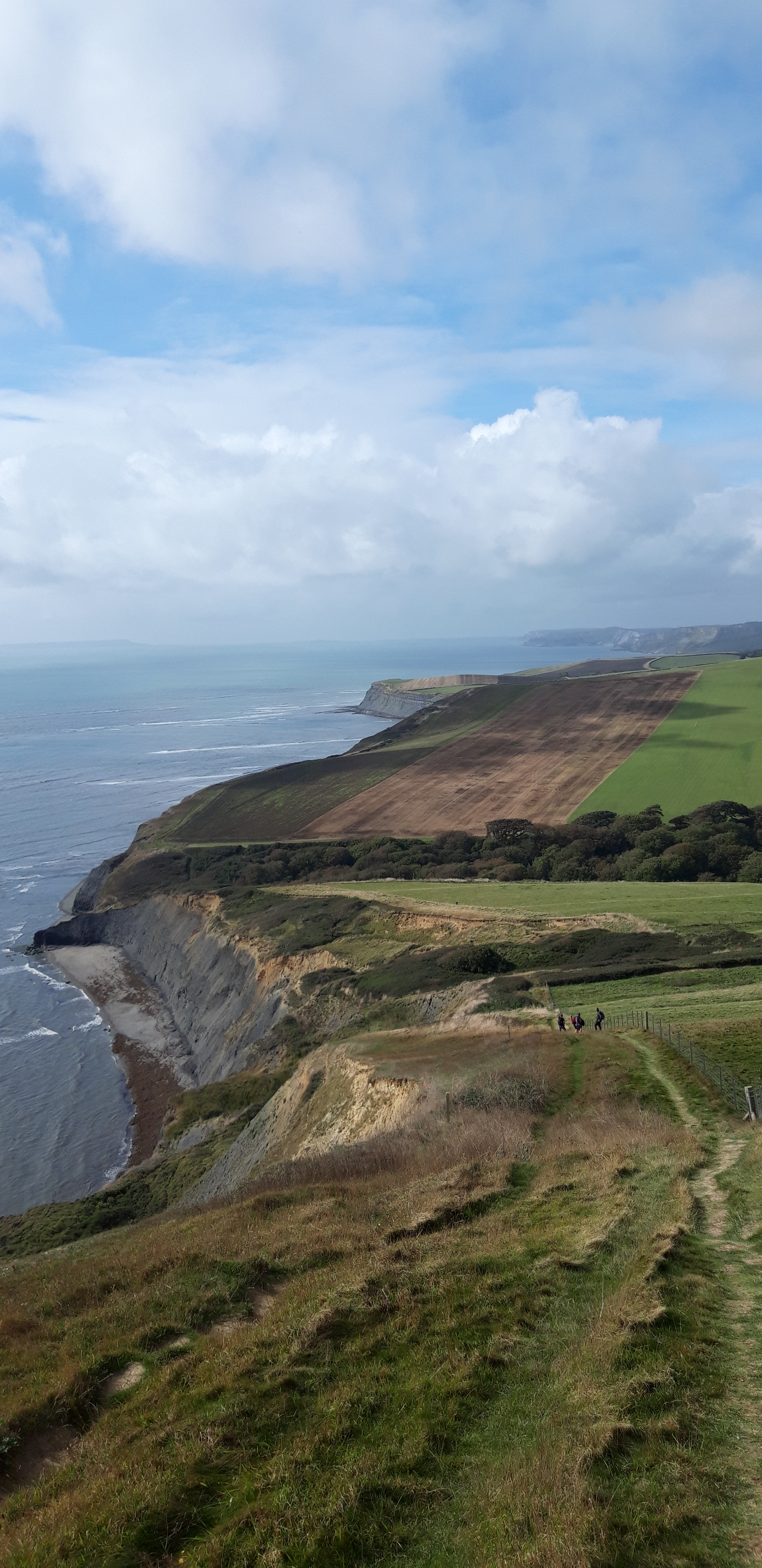
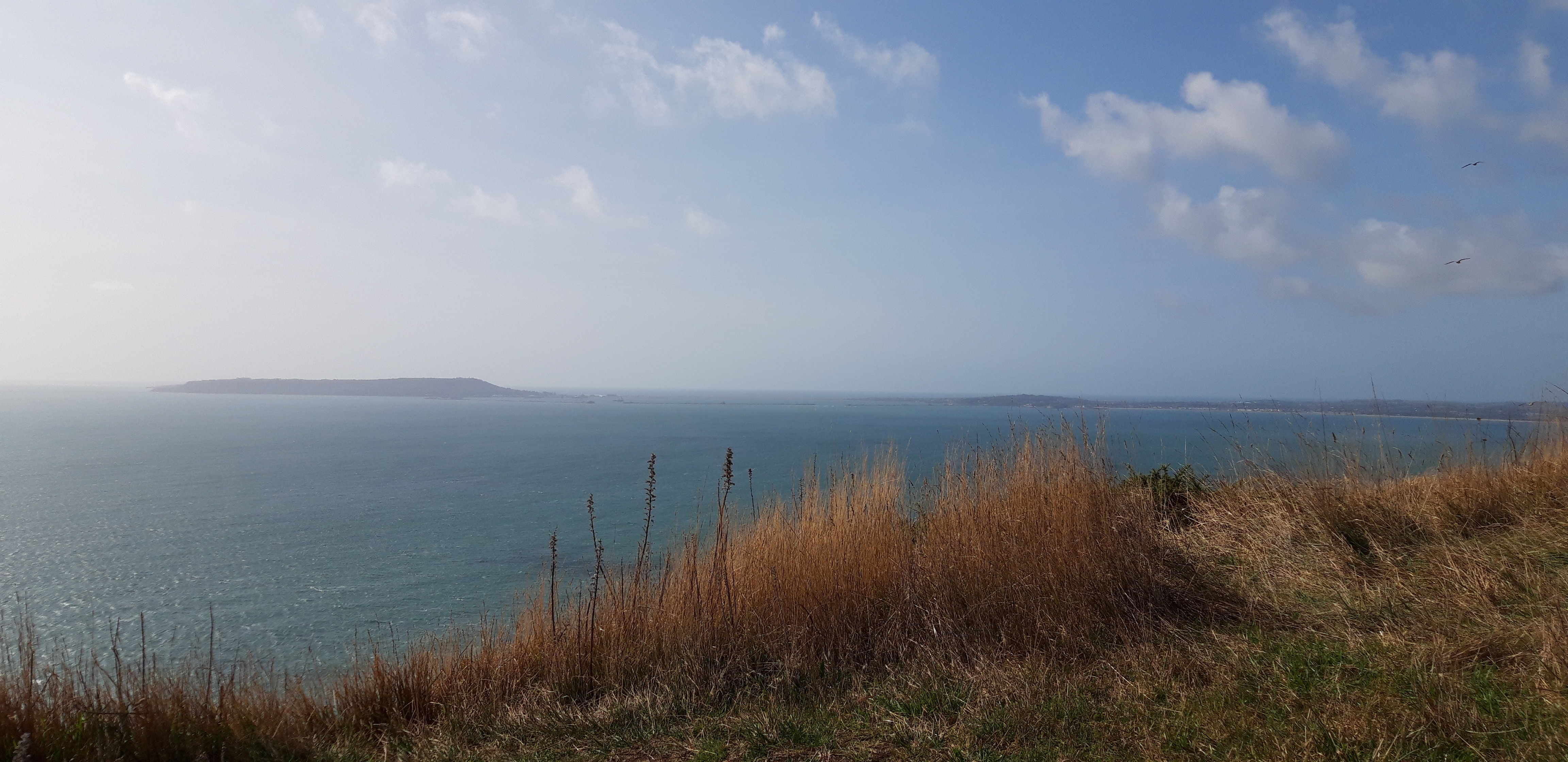
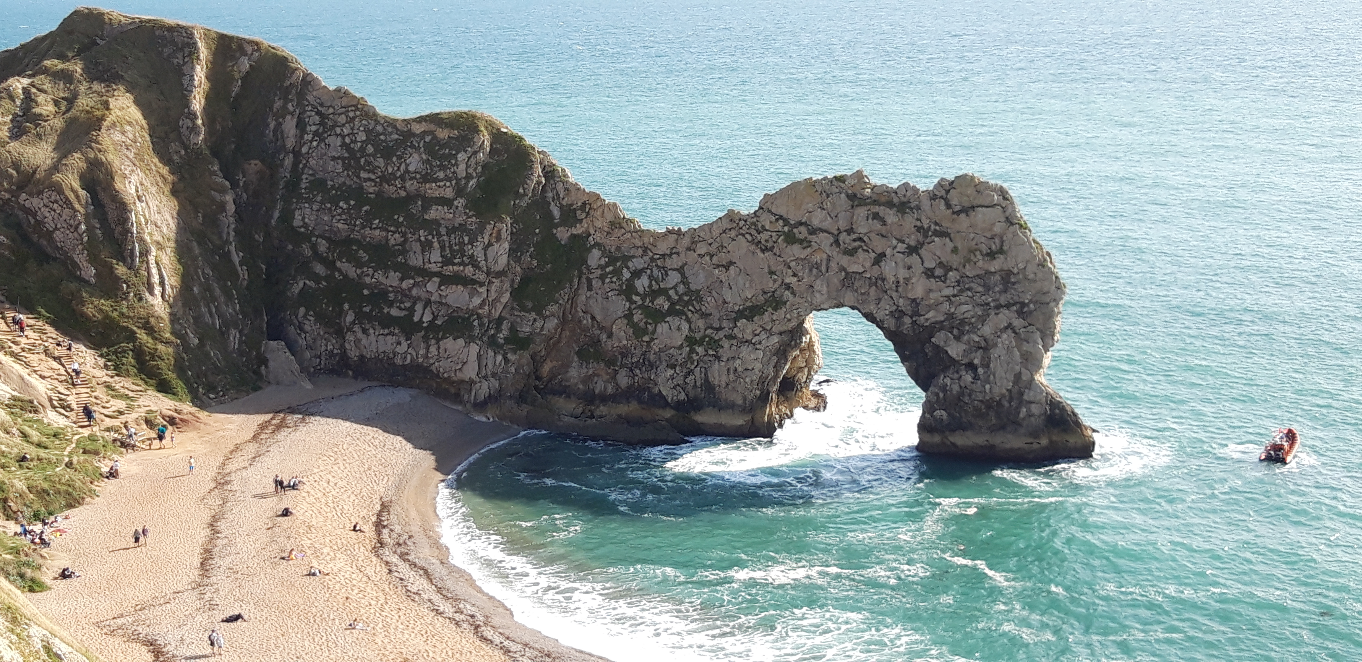
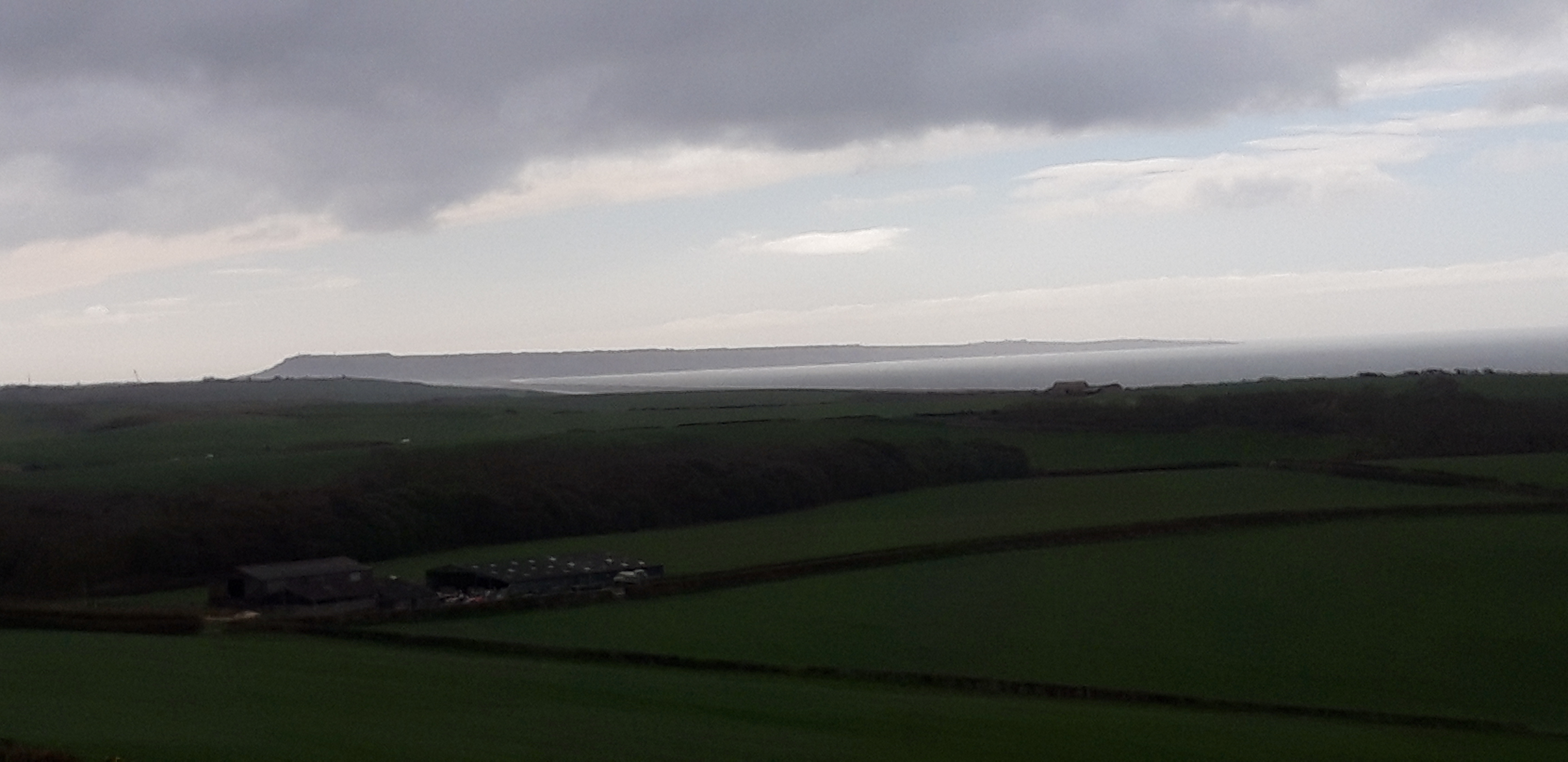
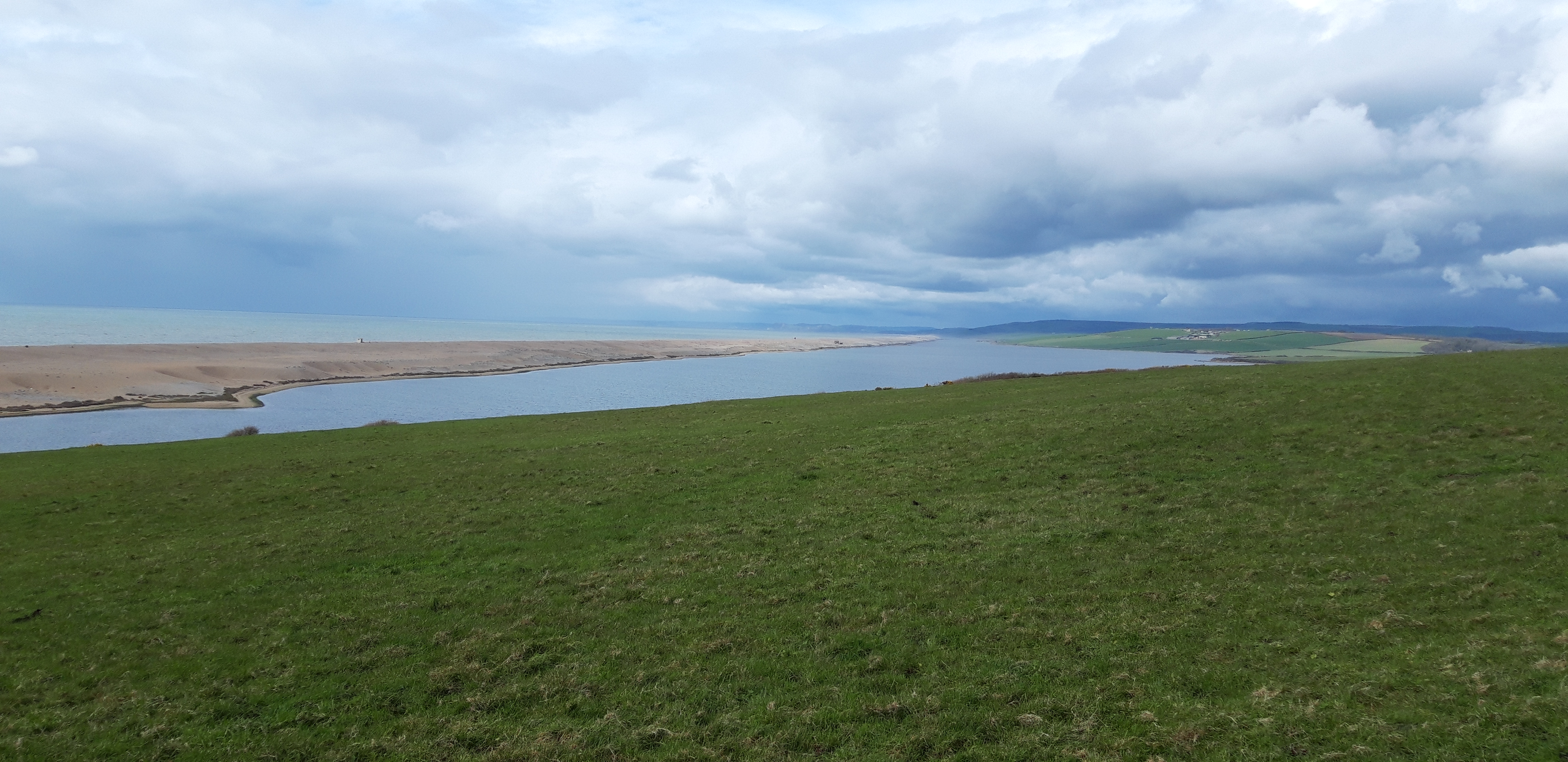
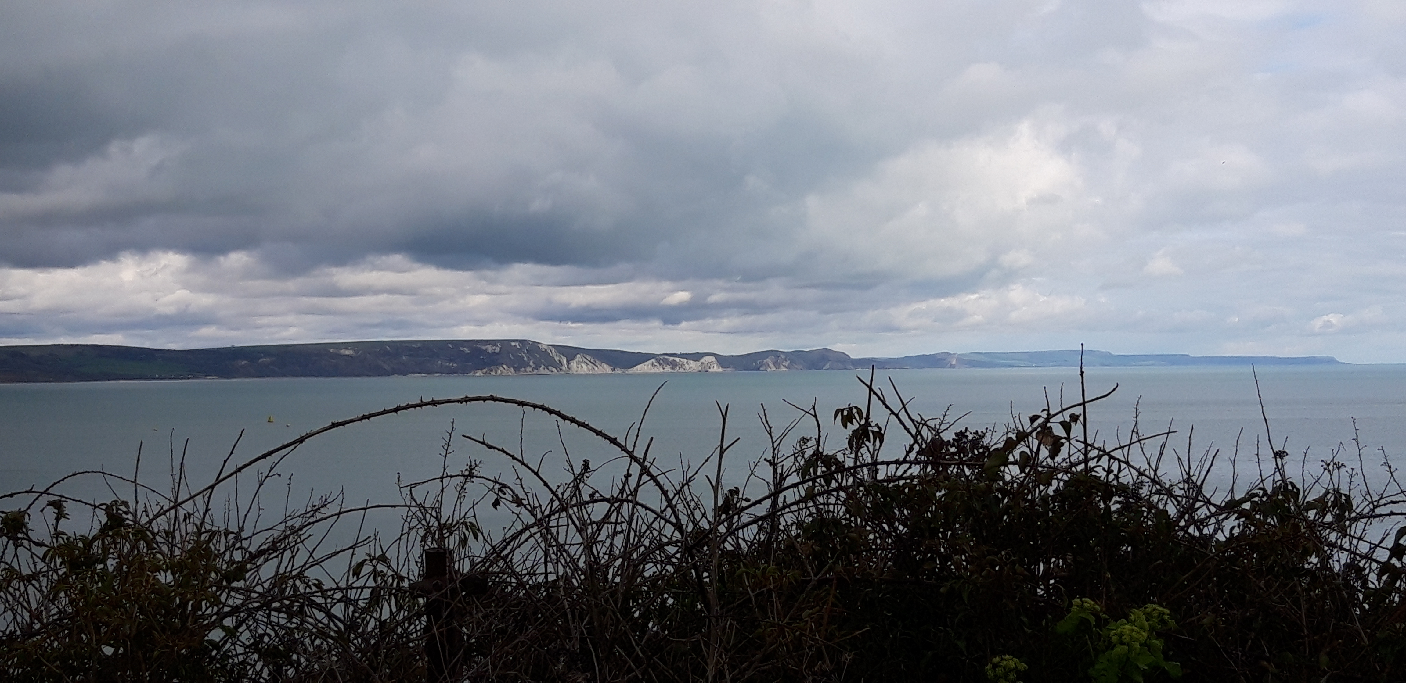
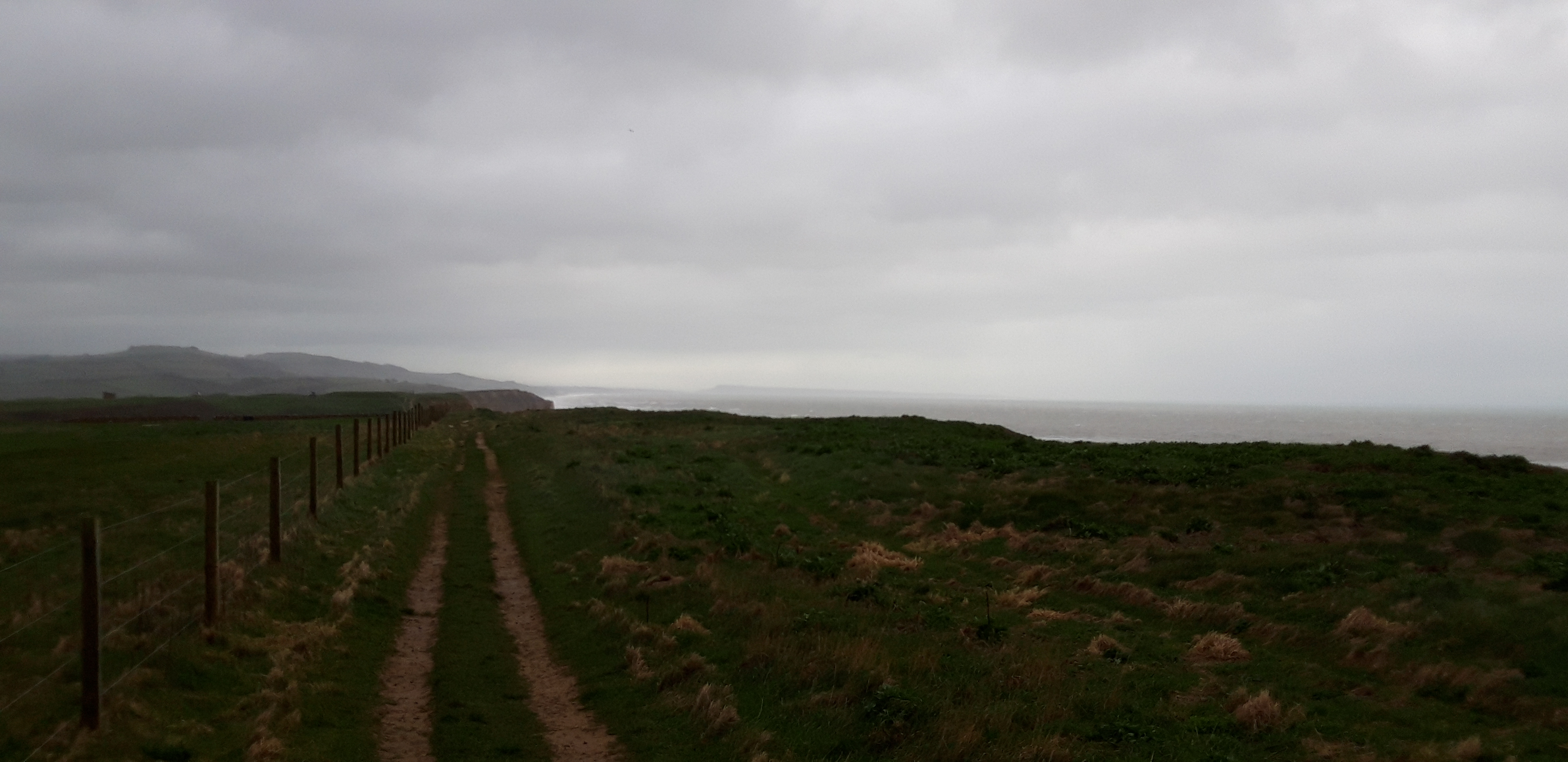
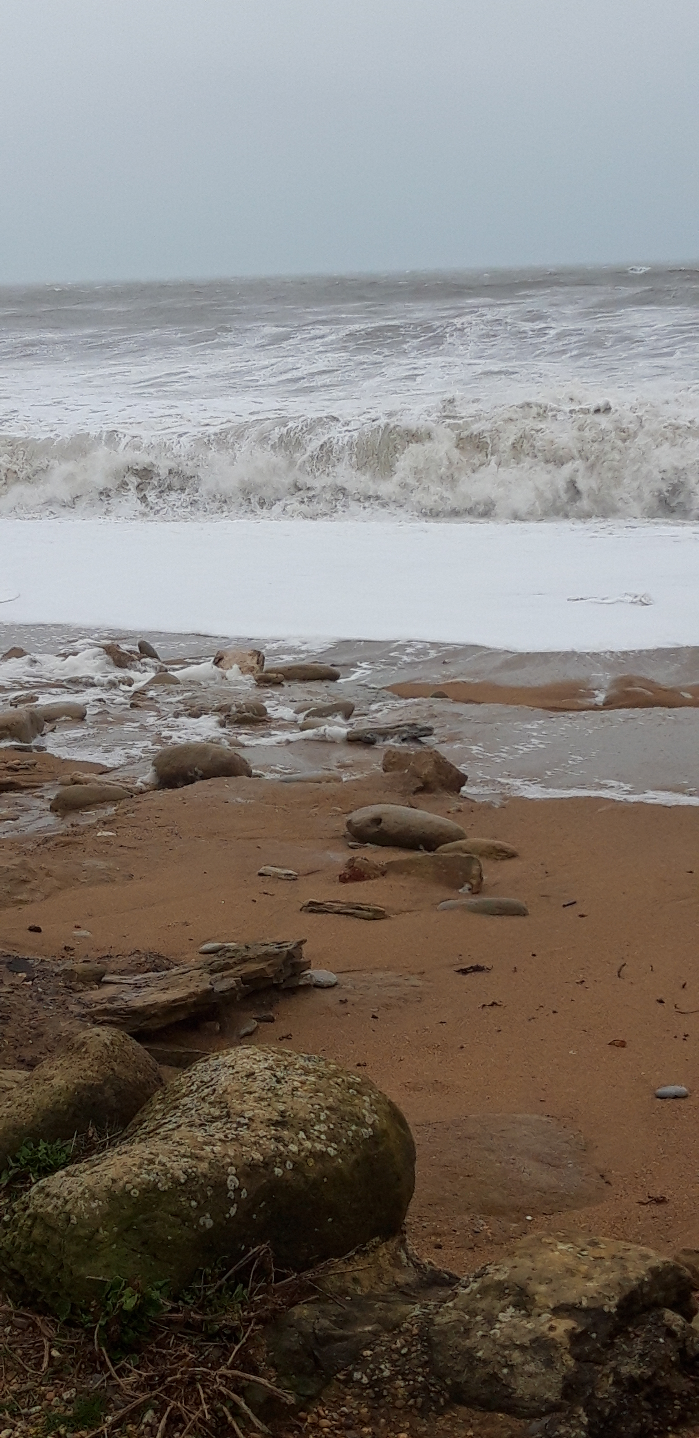
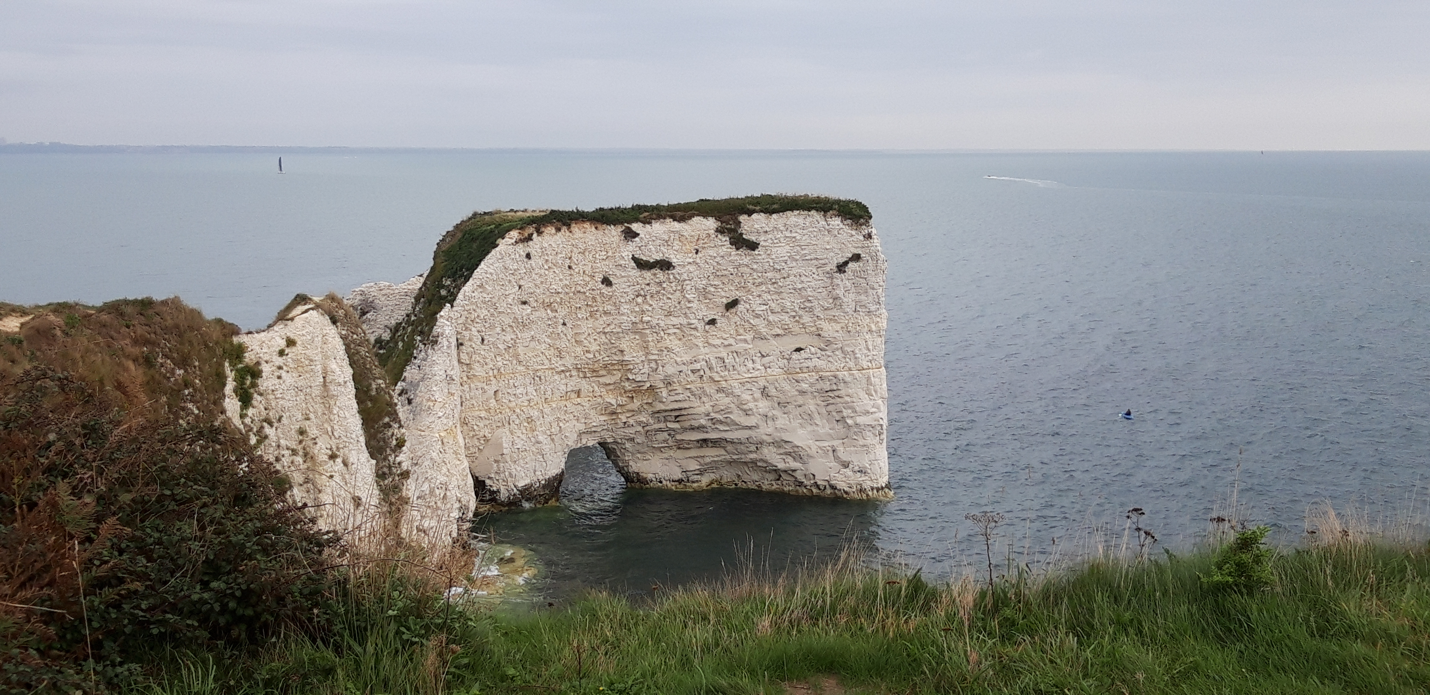
From here, we have an easy stroll on a flat headland toward a promontory, with a popular view over Old Harry Rocks.

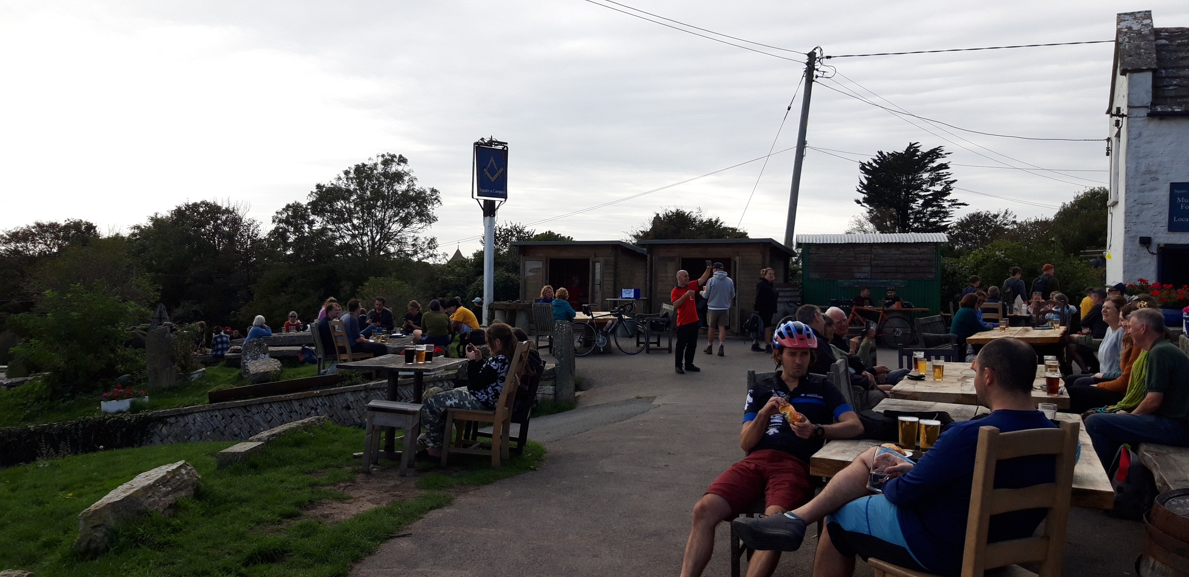
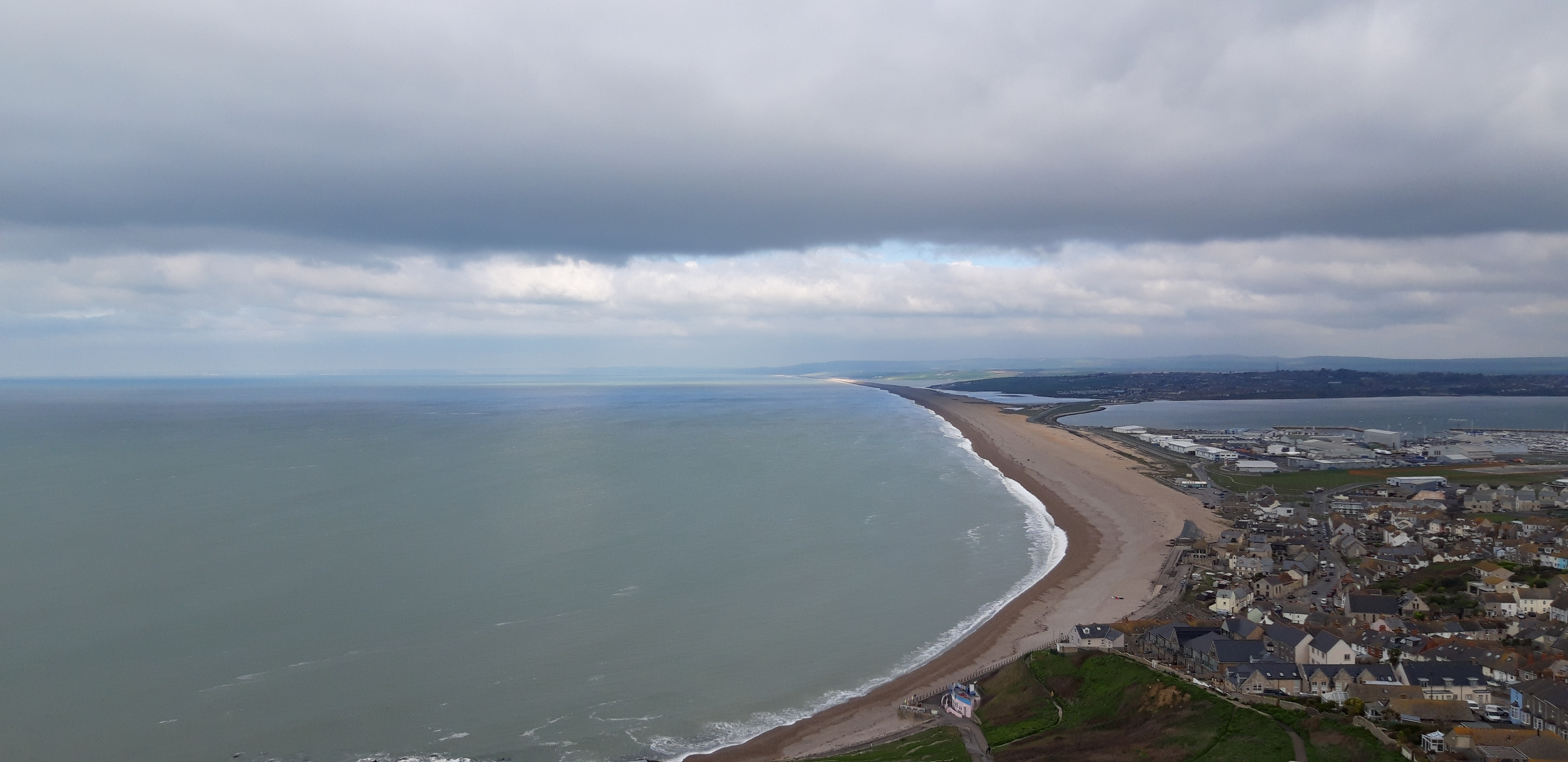
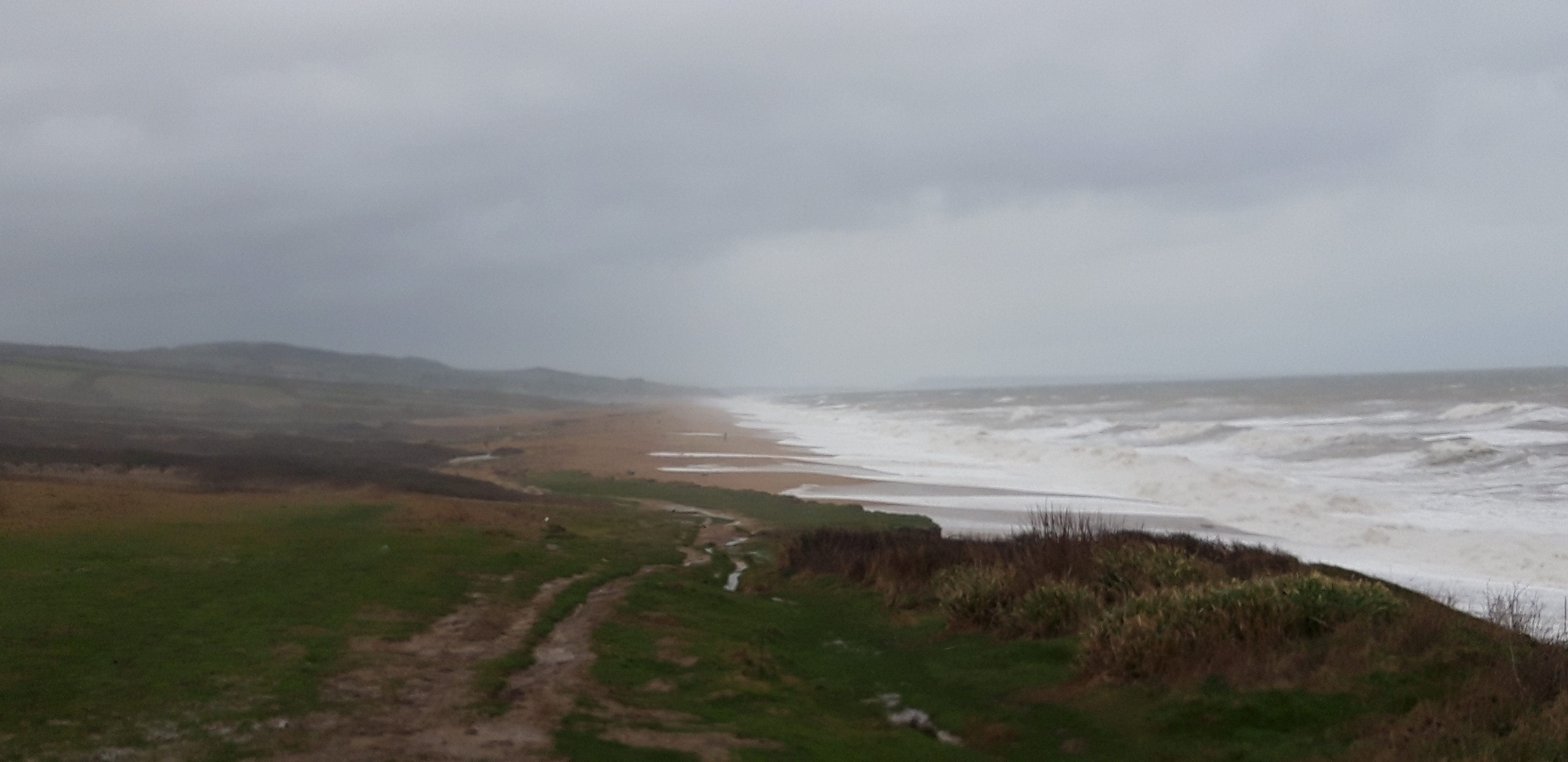
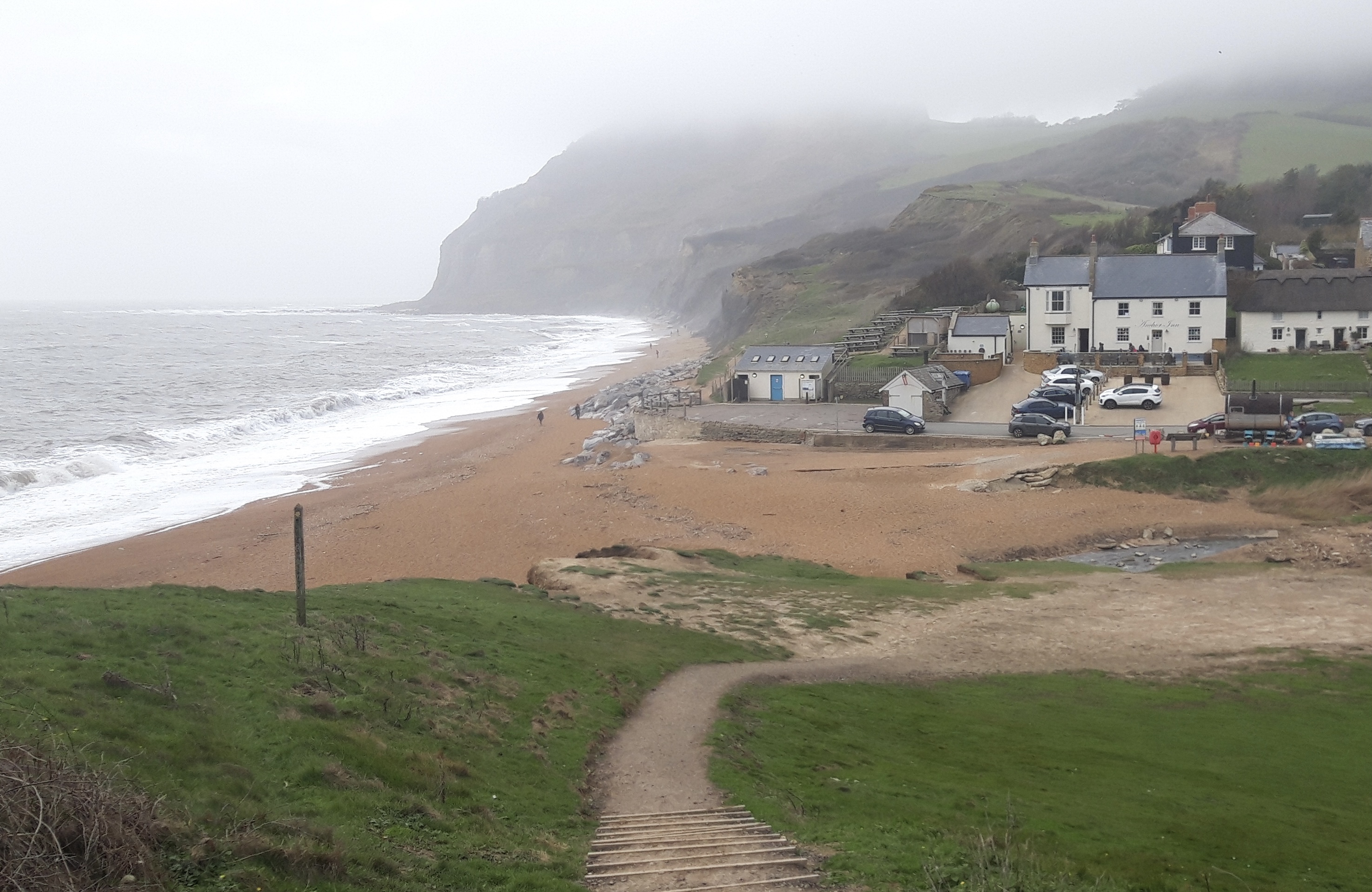
There are numerous Sunday strollers about, and we continue on a busy gravelled path down to the beach at Studland, where we have coffee at a National Trust cafe.

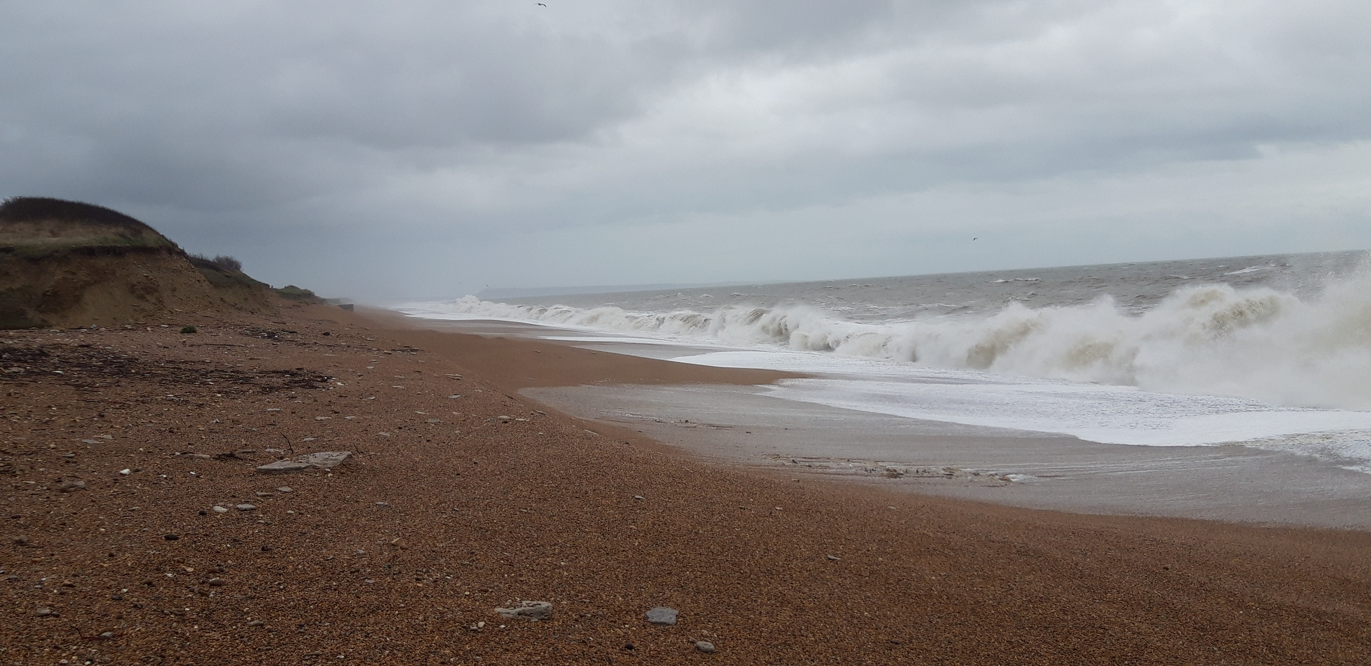
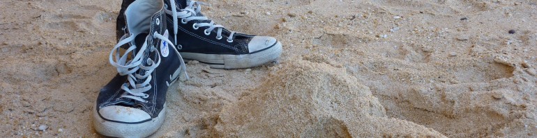
All at once it’s almost over. There’s only two more miles along the beach, surrounded by more casual walkers and their dogs, to South Haven Point. The end of the Path.

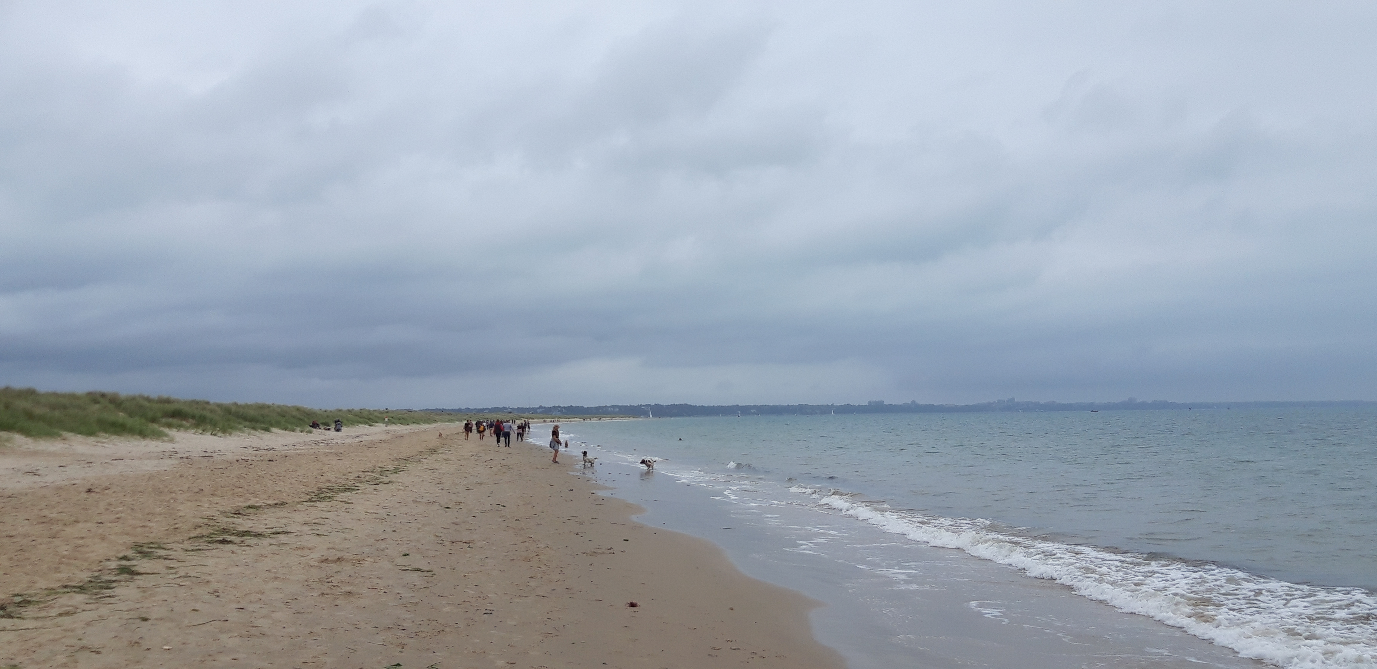
Apart from the sight of an eager naturist among the dunes, the final miles pass without incident, allowing me to think back over the highlights of the month and half worth of walking, which I have spread over seven years:

  • I recall a morning when I came off the sleeper train from London and was quickly transported by a simple boat trip to the Roseland Peninsula into a paradise of wild garlic and spring flowers, helped on my way by Overend’s pal, Mark (Cornwall’s answer to Tom Cruise). His blessing – “May the spirit of Peter go with you” – helped me on my way.
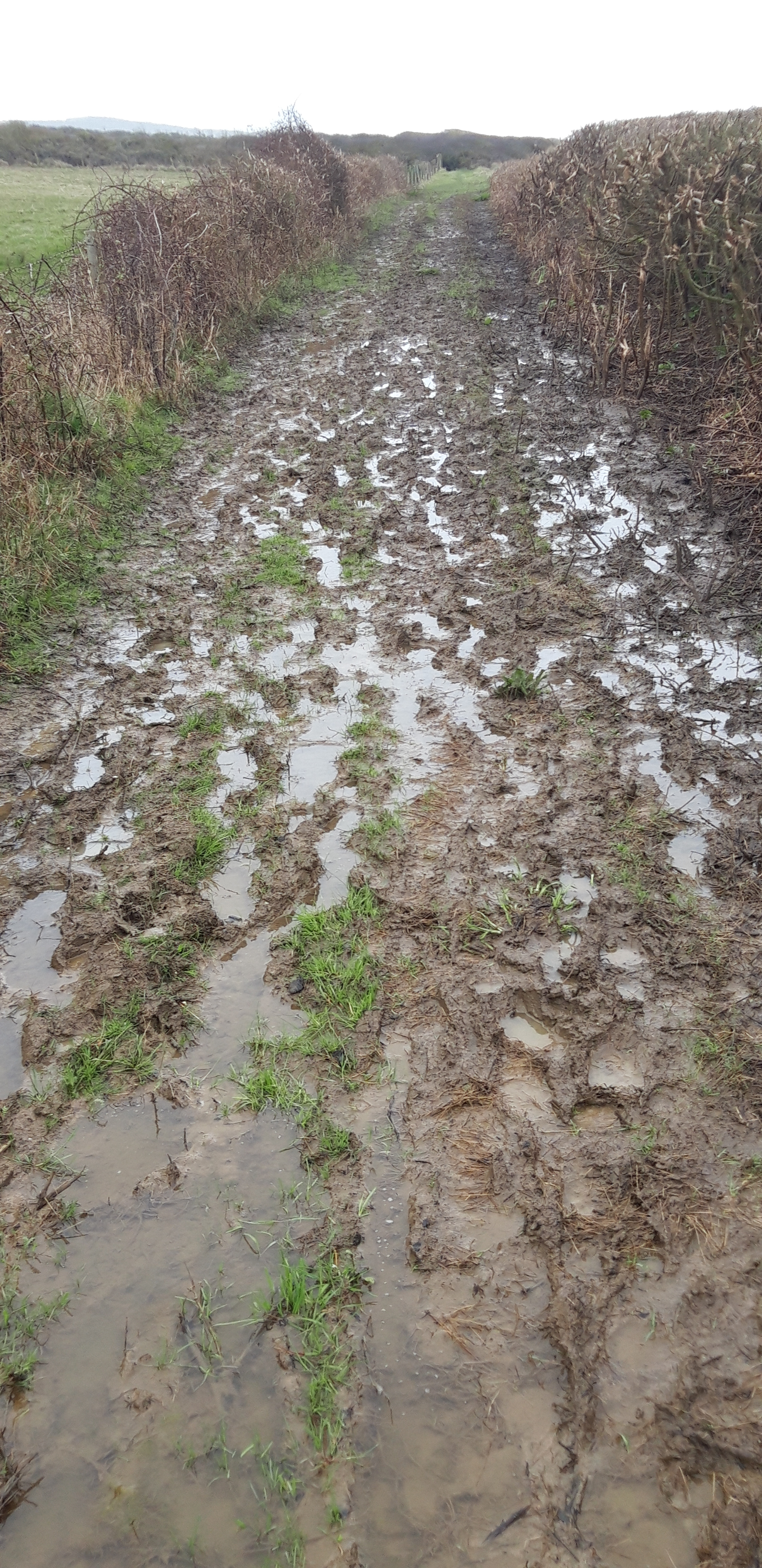
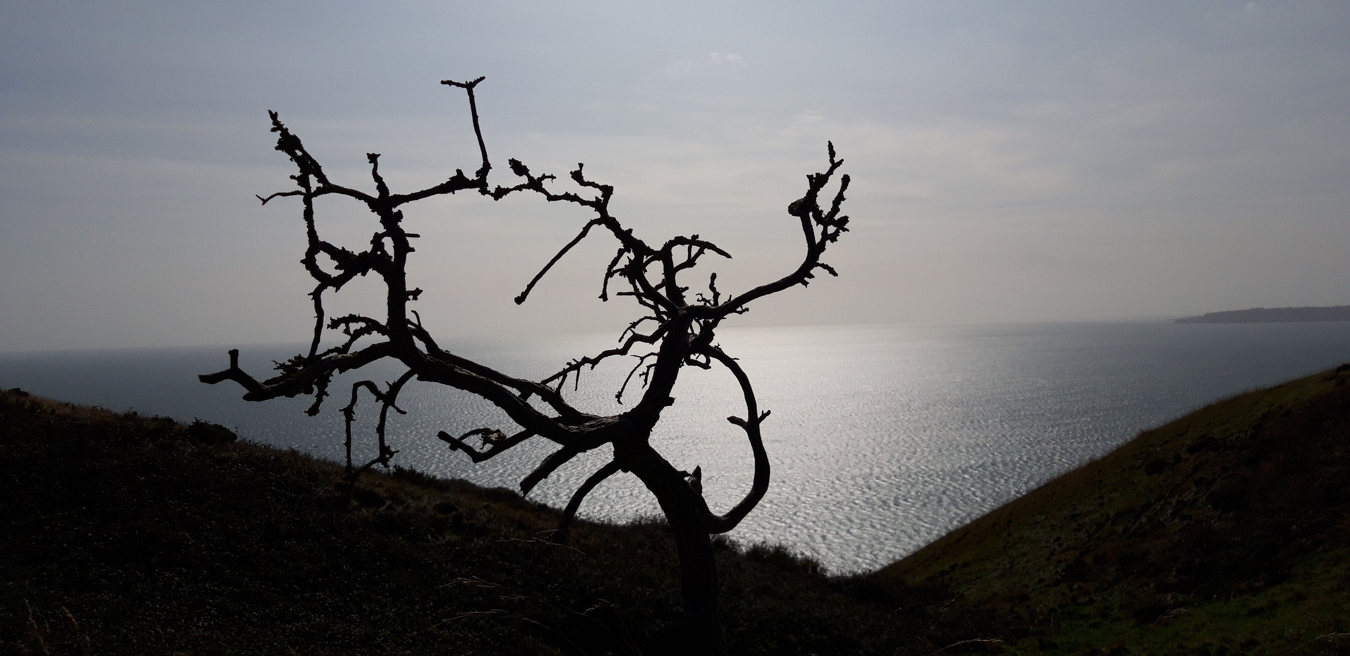
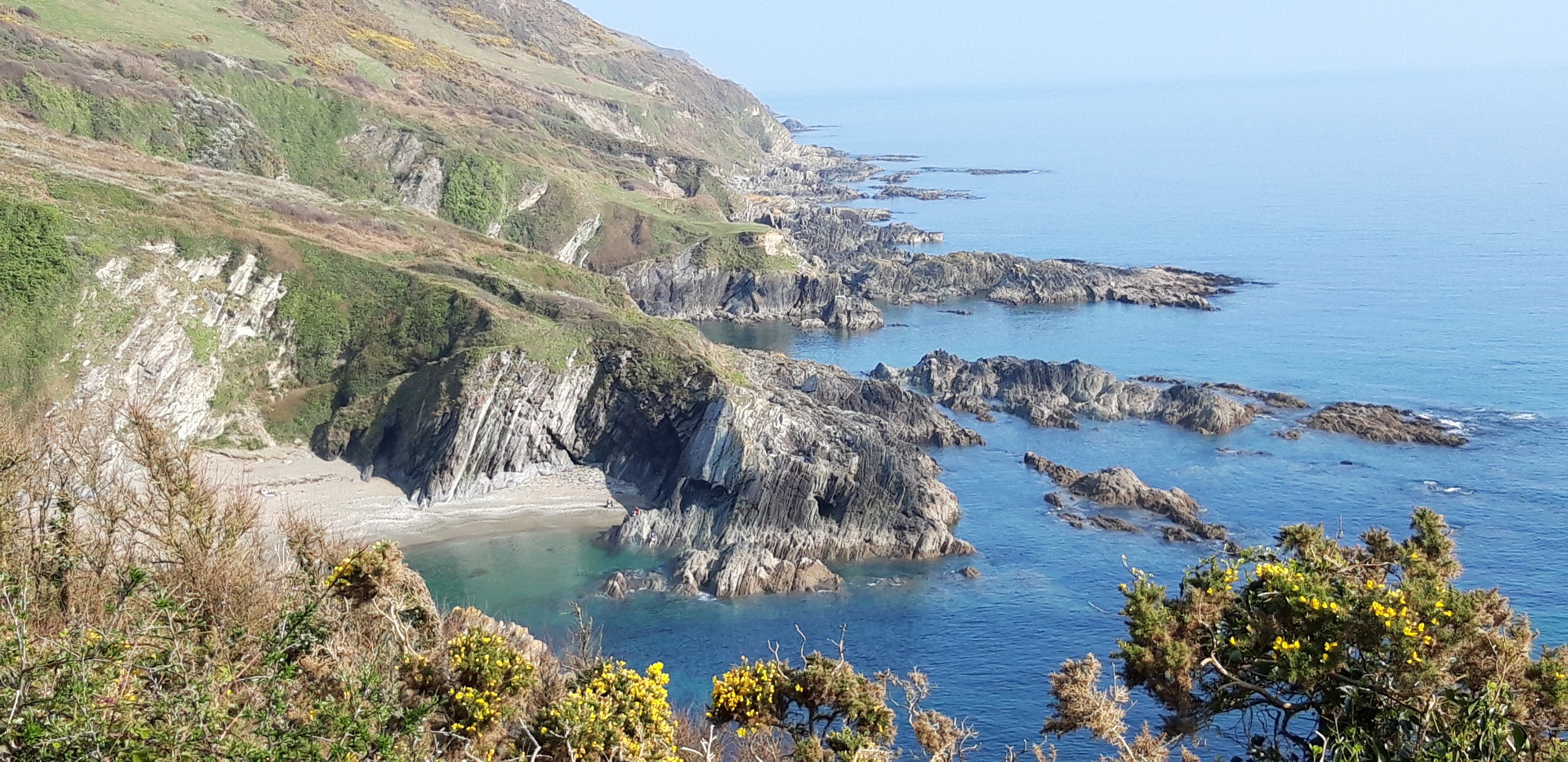
Above all, the numerous occasions – too many to remember, but usually happening several times each and every day of walking – when I paused for a moment to look ahead, and filled my eyes and my soul with the ravishing beauty of this untamed coast of England.

Every mile of which is lodged in my heart, to be carried with me always.

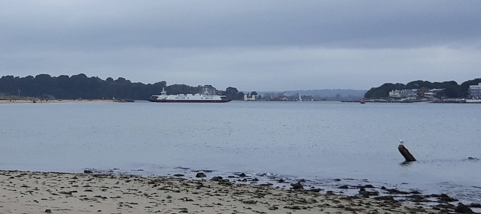
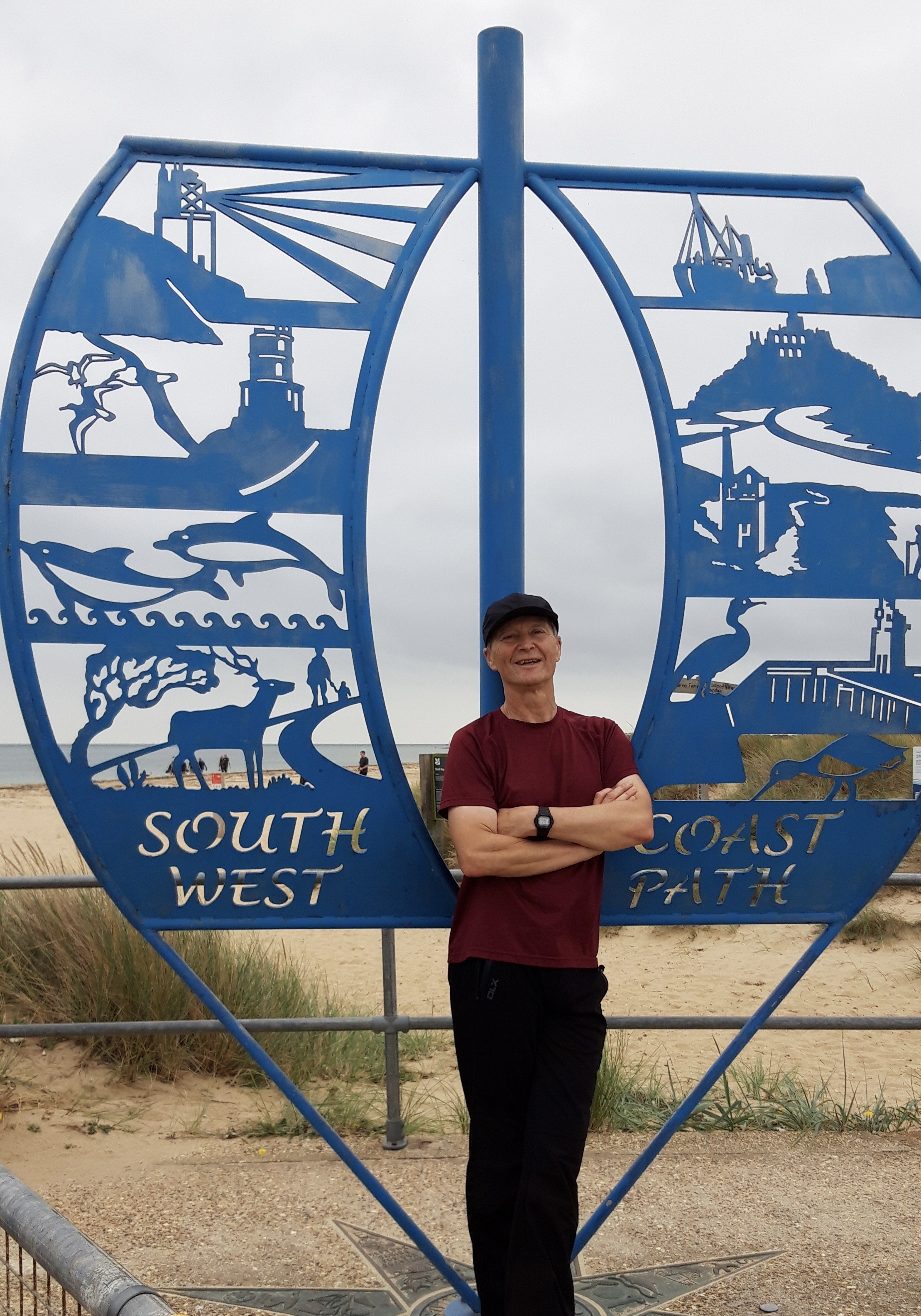
At last, the Sandbanks ferry comes in sight, and as we trudge the last half mile of beach the Prof and I see our wives waiting to greet us. All that remains is to pose for photos by the South West Coast Path monument, sister of the one I passed in Minehead all those years and miles ago.

I don’t know how I feel about completing the walk. For the past few years, I’ve constantly had the next stretch of the Path to plan for and anticipate, it’s always been with me: always in the back of my mind I’ve been thinking about tackling the next bit.

When life got busy, I could always look ahead to the next time I’d be out on my own in the sun and the wind, with nothing on my to-do list except putting one foot in front of the other and allowing the big sky and open sea to fill me up with grace. It will be strange not having that connection any more.

“If you are in a bad mood go for a walk. If you are still in a bad mood, go for another walk.”

Hippocrates

He’s been a spiritual companion on the walk, so I’ll leave the final words to Overend Watts – bass player, glam rock poseur, long-distance walker. When he finished the Path, he wrote about:

“…the overwhelming sense of relief that I’d done it. I’d succeeded. Nothing could take that success away from me now. Nothing and nobody…It’d been the greatest challenge of my life and by succeeding I immediately felt like a far stronger person.”

This guy played bass on “All The Young Dudes.” If he took pride in completing the Path, it will do for me.

Leave a comment

Filed under South West Coast Path

Three Shards and A Firing Range-South West Coast Path, Day 45

Lulworth to Swanage

51,000 steps

Just dwell on that a moment.

51,000 steps.

Fifty-One. Chuffing.Thousand. Chuffing steps.

Organising this leg of the Path has been tricky. The Path east of Lulworth crosses a large area used by the military since 1917 for firing practice. These ranges are generally only open at weekends. When they’re closed, the poor walker faces a long and tedious detour inland. Accordingly, the whole trip has hinged around being in Lulworth on a morning the ranges are open.

To complicate matters further, within the range and beyond there is virtually no place to stop, to stay overnight or to get refreshments. We’ve known all along that today we face an early start and what the trusty Book describes as:

“A particularly long, tough stretch…there are some steep ascents and descents. Most of the walk is remote from habitation, so pay attention to escape routes in case they are needed…a long and hard day…”

Intimidated by this, we’re leaving early. Our B&B host, Shirley, has kindly left a cool bag outside our room, containing a packed breakfast and lunch. Off we go, sadly without having had any coffee.

The Path offers us an early statement of intent with a steep climb up above Lulworth Cove. We get a final chance to enjoy Lulworth’s supremely cove-like aspect, before a steep, stepped descent to enter the ranges.

The morning starts sunny, with cotton wool clouds scattered across the sky. Fifty minutes in, the Prof announces that his watch says he has already met his daily target for distance ascended.

The Path soon responds by giving us a bonus: a long, steep, arduous climb from near sea level to the top of Bindon Hill. (37 flights of stairs according to the professorial watch.)

Once up high, we walk along the ridge, with the sea like a shiny blue tabletop to our right, abridged by a couple of tiny sailboats far out.


On the inland side, there’s a view over a tank range, one of the surprisingly few visible signs of a century of military practice hereabouts.

Dead Tank

We descend again to Worbarrow Bay, and turn inland to reach the ghost village of Tyneham. This was evacuated in 1943, as the ranges prepared for the Normandy invasion, and abandoned permanently following compulsory purchase by the Army in 1948.

We wander among the abandoned buildings, including a schoolhouse and a church, but fail to find anywhere offering coffee.

Regaining the coast path, we pass above interesting tidal shelves at Broad Bench.

We leave the ranges through a fortified gate close to a solitary oil well.

The Prof raises hopes of a coffee van or hut at Kimmeridge Bay, where there is a car park and some small buildings clustered close to the sea. These hopes are soon dashed. We eat our sandwiches on the grass overlooking the waves, close to the ‘Wild Sea Centre’ (which doesn’t have a cafe).

The day has become cloudy and breezy. There are kayakers in the sea, and the waves make a pleasant murmur to accompany our rest stop.

When we resume, my legs tell me – by means of tiredness and stiffness – that they had assumed that was the end of the day’s walking. In fact, I inform them, it’s barely half over.

After a stiff initial climb, the walking is easier along the level ground on the Kimmeridge Ledges, and we make good time for a while, until the Path reverts  to type and gives us a very challenging climb up onto Hons-Tout Cliff.

As we climb, there is a sumptuous view over the terrain we’ve walked.

But for most of the climb, I confess my view is more like this…

After a recovery period, we descend again and turn inland at Champion’s Pool, a cove almost as perfectly cove-like as Lulworth.

There’s some fiddle-faddling about with the map to find the back way to Worth Matravers, but finally – after seven hours walking – we trudge into the Square and Compass pub for beer, water, pasty. And coffee. And rest.


Once again, about fifteen miles in, my legs think the walk is complete. It’s tempting to stay. The pub is overflowing with walkers, cyclists and weekend pleasure-seekers. But to my legs’ disappointment we resume again, taking a slanting path downhill and picking up the coast path again.

I could do without the last five miles, which seem interminable. Generally level, winding along a narrow path through gorse, until we finally reach a bushy ridge at Durlston Head. Even from here, we have another superfluous mile down into a Swanage, my bones feeling every mile behind us, my clothes damp with sweat.

Until – at bloody last – we reach the Swanage youth hostel and the rucksack can finally be removed from my weary shoulders.

On top of the 51,000 steps, the Prof’s watch tells us that we have ascended the equivalent of 350 flights of stairs. This is like climbing London’s Shard three times.

One interesting phenomenon I’ve observed over the many days on the Coast Path: I often get the planning wrong, misjudging distances and the challenge of the terrain. Perhaps I’ve finally got the hang of it – I thought today was going to be several miles too long and very hard going. And it was.

1 Comment

Filed under South West Coast Path

George III and Poor Coastal Design – South West Coast Path, Day 44

Weymouth to Lulworth Cove

33,000 steps

This is it. After 600 miles, stretched embarrassingly over seven years, I’m approaching the end of the Path.

I take a train to Weymouth with my good friend the Prof, who is joining me for the last push. The Prof has previously shown good taste in sections of the Path, having joined me for the Clovelly to Bude stretch (see Days 9-10), and then the dramatic (and very wet) rounding of Land’s End (Days 19-21). Accordingly, I have high hopes for this next few days.

The View Ahead from Weymouth Beach

In Weymouth, there’s grey sky and light drizzle, but the forecast is for sunshine and a moderate breeze. We load up with curry, beer and sleep.

At breakfast, we eat eggs on crumpets. Derek, our host, tells us that this is a new addition to the menu, suggested by top chef, Marco Pierre White, when he stayed at the B&B on an abortive fishing trip.

George III

Compared with what lies in store after Lulworth, today’s walk looks easy. But the Book promises “very steep ascents and descents” as we approach Lulworth Cove. I’ve learned to trust the book. Especially when it’s being miserable.

George III was keen on Weymouth. When not losing the American colonies, he came here for the health benefits of bathing in the sea and his patronage put the town on the map.

His statue, dating from 1810, still broods over the seafront, close to what appears to be his bathing machine.

The Bathing Machine

Yesterday’s rain has disappeared. We get a coffee and set off along the promenade in bright sunshine, passing cheerily-colourful beach huts.

The sea is calm and appealing, with numerous swimmers. The day’s walk is spread out ahead of us along the curving edge of Weymouth Bay, although our destination is swallowed in distant haze.

At Bowleaze Cove, the Path leaves the easy paved surface and diverts briefly inland up the road, past a cafe popular with more sea swimmers. There’s an aroma of coffee and bacon. We turn right and across sloping fields on Bowleaze Cliffs.

For a while the walking remains easy and pleasant, across rolling downs above the  bright sea, surrounded by low gorse. There’s a fine view back to Portland and Weymouth, which during the morning slowly melt into the haze between aquamarine sea and pale sky.

We also soon see the chalk hillside figure of George III on a horse. Legend has it that the King was offended by the 1808 carving, which showed him riding away from Weymouth rather than towards it. He never came back.

Once again, I notice that walking with a friend is a different experience to walking alone. Instead of the mindless, metronomic plodding on my own, we find ourselves conducting an episodic and disorganised conversation that flits from subject to subject without rational links between them. Within one hour, topics discussed include:

  • who Portland Bill might have been
  • Speculation about the lifestyles of people swimming in the Weymouth sea at ten o’clock on a Friday morning, and what the rest of their day might involve
  • Our top ten favourite music artists. We only had one in common (Bob Dylan). When I said Taylor Swift might be in mine, the Prof made a strange growling noise for several minutes. I had the grace not to do the same when he mentioned the Art Ensemble of Chicago
  • We both knew what white noise was, but wondered whether there is such a thing as black noise, and if so, what it might sound like.

After a relatively gentle two hours, we reach Osmington Mills, where we come upon the Smuggler’s Inn, possibly the nicest pub on the whole coast path so far, nestled in a sheltered cleft at the end of a narrow valley. Wooden beams, thatched roof, a welcoming array of Badger Ales on tap.

Sadly, poor coastal design means the pub is positioned three miles too early on the walk, and it’s only eleven in the morning. We stop for coffee and eventually leave at the time we would ideally have been arriving.

After the Smuggler’s, a gentle ascent takes us to Ringstead. An abandoned medieval village is invisible inland. We walk along Burning Cliff. This sounds dramatic, but there is no sign of fire. There was once – it got its name from having smouldered for several years after 1826, because of the bituminous shale underground.


We stop for lunch on the top of White Nothe. I say lunch, but it’s a bag of nuts and half a cereal bar. I lie on my back for a few minutes in the hot sun. The wind rustles the grass and the sea far below sounds to my ill-educated urban ear like a distant motorway.

After this, the sharp ascents and descents promised by the guide book dutifully materialise. Conversation dwindles as we toil uphill, and carefully pick our way down treacherous slopes.

A series of offshore rocks seem to have been named by an unimaginative farmer: the Calf, the Cow, the Blind Cow and finally the Bull.

At last, the famous arch of Durdle Door comes into view, and we’re suddenly among scores of day trippers.

Durdle Door is the most dramatic illustration of the way in which this bit of Dorset coastline is shaped by the contrasting hardnesses of the rocks, and the local patterns of faults and folds.

Narrow bands of rock run parallel to the shoreline and have been folded almost vertical. A band of tough Portland limestone runs along the shore. Behind this is a band of weaker, more easily eroded rocks, and behind this is a stronger and much thicker band of chalk. On this part of the coast, nearly all of the limestone has been removed by sea erosion, whilst the remainder forms the small headland which includes the arch. Erosion at the western end of the limestone band has resulted in the arch formation.

Durdle Door can be seen to great effect in this Tears for Fears video.

From Durdle Door, it’s one more ascent and descent to reach Lulworth, a cove that looks like it was designed and installed by a specialist in cove design. It’s a world heritage site, which gets half a million visitors a year.

The Cove has formed as a result of the same geological forces that shaped Durdle Door. The narrow band of Portland limestone at the shoreline has eroded less than the softer cove clays and sands behind it.

Durdle Door and Lulworth Cove are so extraordinary that I find I can forgive the coastal designer who put the Smuggler’s Inn too far west.

Whether I will be able to forgive Swanage being twenty miles to the east, only tomorrow will tell.

Leave a comment

Filed under South West Coast Path

The Portland Loop (and did I mention mud?): South West Coast Path – Days 42 and 43

Abbotsbury to Weymouth

34,000 steps

Isle of Portland

28,000 steps

Today’s walk is described by the guide as “easy.” And so it would be if I didn’t stupidly try to do it all before lunch.

When I set off from Abbotsbury, I’m pleased to find that my muddy boots have dried. Ready to gather more mud. The morning is fresh – warmer than yesterday, with much less wind and no sign of rain.

I start with a walk down a pleasant daffodil-fringed lane, accompanied by the relaxing sound of running water in a stream beside the road, and frisky chickens jeering at me from a nearby yard. 

The Swannery has an enticing coffee shop, which I hate to pass up. But it’s way too early. Half a mile on, a sign sends me off the road and up a hill through a field and the real walking begins. I anticipate mud.

I can definitely feel the weight of Chesil Beach in my calves. And my rucksack has got heavier in the night. But overall, I’m upbeat and positive. It feels like the worst of the weather is behind me. Today’s walk is largely inland from the Fleet Lagoon, through rolling fields and easy hills. 

A short walk takes me to the top of Linton Hill, from which I get a sumptuous view of the coast ahead. The Isle of Portland is now clearly visible – a thin wedge, looking like a doorstop propping open the English Channel, or the snout of a half-submerged sea monster dozing at the end of Chesil Beach.

Walking for a while is along a flat, grassy ridge, with great views of the sea and Chesil Beach. But the Path soon dips right and heads toward the coast, and lower ground. Descending from the ridge comes at the price of the mud reasserting itself. At first, it’s short of the Somme-like conditions that I snorkelled through yesterday (but sadly, this doesn’t last).

I hike through flat fields, accompanied only by birdsong, before the Path makes its way down to the inland shore of the Fleet lagoon. This part, Rodden Hive, is a nature reserve. Many birds are pictured on a sign. But all I can see is a solitary swan, diving for sea grass.

On this low ground, the mud soon becomes tedious. I pass a walker coming the other way. 

“It doesn’t get any better, I’m afraid,” he says, gesturing back where he’s come from. “It’s horrendous.”

He’s not wrong. Let’s face it, if you wanted to find mud, low-lying fields beside a tidal lagoon after days of heavy rain would be a good place to search.


A sign says ‘Ferrybridge 7’. I walk on and twenty minutes later see another sign claiming that Ferrybridge is now half a mile further away. A little further, I see a sign claiming it’s now five and three quarter miles to Ferrybridge. I guess you just can’t trust signs.

You can’t trust paths either. Just when I think I’ve seen all the mud that it’s possible to fit on one footpath, the Path gets muddier. I come to a military firing range.  No red flags are flying so I continue. The Path becomes titanically muddy. Some patches look like if I fell into the mud I might never come out again. 

I pass Moonfleet Manor Hotel. A sign says ramblers are welcome. As are pirates. Again, foolishly, I don’t stop but just plod on. Moonfleet – a classic tale of smuggling adventure set on the Fleet – is one of those books I don’t remember ever reading, but I feel I know it intimately. Like Treasure Island.

Moonfleet Manor Hotel

I had planned on turning inland to Chickerel for lunch but it’s still relatively early when I reach the turning. And a sign tells me that Ferrybridge is now only four and a half miles. I decide to plough on, fuelled by a water break and a nut bar.

The mud makes progress slow and I can feel fatigue setting in. My calves still ache from the Chesil exertions.

A sign tells me that the Fleet is the largest lagoon in north west Europe. I can believe this because I seem to have been walking along its muddy shoreline for at least a week.

As is the way of the Path, it seems like I will never reach Ferrybridge, but suddenly I’m there. Despite the perils of the mud, I’ve made fast progress. There’s a price to pay: my feet are sore and a blister has appeared on my palm, from the tight grip I’ve had to keep on my stick to keep myself from being swallowed up by mud.

It’s an easy walk around Portland Harbour and into Weymouth.

A blister has checked in on my right foot. Not bad – end of day three of this trip and the first blister has only just arrived.

The guide had promised me outstanding beauty, with unique views of Chesil Beach and the Fleet. But looking back on the day it was a bit – well – dull.

And did I mention the mud?

Next day is quite a contrast. At first, I had dismissed the fact that the coast path technically ran around the edge of the Isle of Portland. Why would I want to walk 13 miles just to be back at the same point? For a long time, I assumed that I would reach Weymouth and continue east.

But then I saw the appeal of staying two nights in Weymouth, leaving my stuff in my room, and having a day’s walk WITHOUT THE RUCKSACK. Added to the mix is the fact that Big Sister has come down from Wiltshire to do the Portland walk with me.

Also add to the mix that there’s no rain. The wind has died down. And there’s even some sunshine. And a lot of the Path around Portland is firm and level, with great views of Chesil Beach and the coast east of Weymouth.

It turns out to be a lovely stroll around the island, with a break at the lighthouse for coffee and Dorset Apple Cake.

Portland has two prisons and a lot of quarries, one of which is now disused but repurposed as a sculpture park.

One particularly spooky character stays with me during the day.


I end up back in Weymouth, with a view of the coast that lies ahead. I have walked 590 miles of the Path, with now a mere 40 miles to the end.

I don’t know how I feel about that.

1 Comment

Filed under South West Coast Path

Mud and Chesil Beach. And More Mud: South West Coast Path – Day 41

Eype’s Mouth to Abbotsbury

28,000 steps

In the morning I do a quick stocktake. Water is everywhere. Lying in pools on the ground, dripping from trees and buildings. Spraying itself liberally into my face as I set out, assisted in reaching all parts of me by the vigorous wind.

On the plus side – I’ve had coffee. And there are no blisters. Yet.

And after an initial downpour, the rain fades. The Path is however even muddier than yesterday after a further night’s rain. Mud will become a theme of the day.

I’m promised a walk along a “spectacularly dramatic section of the Jurassic Coast World Heritage Site”. Beginning, the guide says, “with some short, steep climbs”.

I’m also promised the chance of peregrines, possibly visible from Burton Cliff, and level going as I reach “the spectacular, long pebbly sweep of Chesil Beach.”

Leaving Eype’s Mouth, the Path is very slippery. And did I mention that the morning is very windy? I put up the hood of my cagoule as I climb the slope towards West Bay. The wind rattles it so fast and loud around my ears it sounds like a helicopter landing behind me. The wind is gusty and uneven, causing me to stumble a few times. I make a mental note to keep close to the line of the fence, not the cliff. Signs warn of unstable cliff edges, I don’t want to add an unstable walker to the mix.

At last, in the distance I can see the Isle of Portland, a faint smudge on the horizon through a haze of cloud and spray. I stop for coffee in West Bay. While I drink it, rain sweeps in from the churning sea on the high wind. Foam coats the harbour like fresh snow. I waste ten minutes trying to get the rain cover on my rucksack and my full poncho over me and pack. This takes so long that the rain stops and I give up.

I climb a steep slope up muddy steps from West Bay, and along the cliff top. The Path here joins something called the Hardy Way. So that cheers me up. The wind playfully assaults me all the way from West Bay to Burton Beach. Despite the wind, there’s less rain than forecast, which I have to admit is a big plus.

At Burton Bradstock, I pass from one Ordnance Survey Explorer map to another. I think this is the 14th map of the Path, and it will be the last, taking me all the way to Poole. There is no sign of any peregrines. They’re probably tucked up somewhere warm and dry, toasting crumpets.

The start of Chesil Beach

I’m also now on Chesil Beach. Chesil is a 17-mile ridge of pebbles, backed by the the largest tidal lagoon in Britain, the Fleet. It’s been the scene of numerous shipwrecks, and it was renamed Dead Man’s Cove by the ever-cheerful Thomas Hardy.

I read somewhere that over thousands of years the wind and sea have sorted the pebbles on Chesil Beach so that different sizes are distributed along the bank, with larger stones in the east, smaller in the west.


My research (not yet peer-reviewed) backs this up.

The Path veers slightly inland. For a while, it’s pleasant walking, shielded from the wind by the high shingle bank. But after a while the Path gets very boggy and I wonder whether it might not have been better to walk on the shingle itself.

The Path becomes a sea of mud and the next half hour is even less enjoyable than the spin-cycle experience of the cliff top walk.

It’s a relief when the Path veers right and back onto the gravelly bank.

I hate to grumble, but I confess that wading over the shingle is very energy-sapping. The novelty soon wears off. My calves begin to complain.


I’m relieved to find a cafe at West Bexington, where I have soup and coffee (and relief from the wind).

After lunch there is more shingle-wading, but eventually the Path gets easier and becomes a patchily tarmacked road behind the Chesil ridge. (With occasional stretches of mud.)

I’m alone most of the afternoon, which is unsurprising in this weather.

The sun breaks through in mid-afternoon, and the Path veers inland, as the Fleet separates Chesil Beach from the mainland, leading up and into Abbotsbury.

The village is truly the heart of Hardy country, but I forgive it for that. It has thatched cottages and a swannery, which claims to be the only place in the world where you can “walk through the heart of a colony of nesting mute swans.”

There’s also a 14th century chapel to St Catherine, the patron saint (it says here) of spinsters and virgins.

Abbotsbury is on the route of another long-distance trail – something called the MacMillan Way. This turns out to be a path all the way from Abbotsbury to Boston in Lincolnshire. With Poole only around 60 Miles away, I might soon need a new path…

Leave a comment

Filed under South West Coast Path

Tagine, Sourdough, and Dorset Gold: South West Coast Path – Day 40

Lyme Regis to Eype’s Mouth

26,000 steps


On the train I eat a sandwich and take stock of the way the world is, six months on from my last encounter with the coast path. Scientists have warned that the world is on its last chance to tackle global warming. The world has shrugged. We have carelessly got through several prime ministers and sundry other ministers as the government has been forced to shovel money into people’s pockets to pay inflated energy bills. The council I’m part of has had to scrape together money for schools to feed children turning up to school hungry.

And in the newspaper I read that astronomers have found an “ultra massive black hole around 33 billion times the mass of the sun.” 

Outside the window there is no sign of the sun, owing to a sky emulsioned with mist. Nor, thankfully, is there any sign of an ultra massive black hole. Clouds dip low and touch the treetops, breathing soft rain over the fields. There seems to be an awful lot of mud.

Lyme Regis with subtle ammonite-themed lampposts

The Path however abides. It’s waiting for me when I step off the bus at Lyme Regis. The guide promises that today’s walk is ‘moderate’. It includes a climb over Golden Cap, the highest point on the South coast of England, so there’s that to look forward to. The weather forecast promises sunny intervals today. It seems good to get the high ground out of the way early – tomorrow’s weather forecast is an absolute dog.

The tide is coming in, ruling out the beach walk to Charmouth, so I head along a newly-engineered raised path below the eroding cliffs and up some steps to the road, before the Path turns off into a very muddy field and angles uphill towards some woods.

Leaving St Ives

The sound of the road falls away behind, and I’m soon immersed in birdsong and the rattle of the wind among wintry branches of shrubs and trees. The Path winds back and forth up and over the wooded hillside, with a few too many counter-intuitive turns away from my assumed direction of travel because of landfalls.

The Path soon zigzags down toward Charmouth. A statue commemorates the fossil-plundering that has gone on in these parts over the years.

I’m now about halfway along the “Jurassic Coast,” England’s only natural world heritage site, which stretches 96 miles from Exmouth to the end of the Path near Poole. Coastal erosion here has exposed nearly 200 million years of geological history.

At different times, the area has been desert, shallow tropical sea and marsh. In some areas (notably the one I’m currently in) landslides are common, which have exposed a wide range of fossils. Scores of different rock strata have been identified at Lyme Regis, each with its own species of ammonite.

At Charmouth Beach I stop for coffee and bread pudding, consumed above the pebbled beach, churning with slate grey waves. In the 18th and 19th centuries Charmouth village was a noted resort. Visitors included Jane Austen, who wrote that it was “a nice place for sitting in unwearied contemplation.”

Unlike Jane, I’m not sitting. I’m not contemplating. And to be honest, I’m not unwearied.

The hill out of Charmouth
The “View” from Golden Cap

From Charmouth, the Path joins the so-called “Monarch’s Way,” commemorating the route taken by Charles II after defeat at the Battle of Worcester in 1651, before slipping away to the Continent and leaving England to Cromwell. An inn here supposedly gave shelter to the fugitive Royal, when he came disguised looking for a boat to take him to France. He got away, but not before a mishap with the first boat that was lined up for him. The boat’s master was prevented from helping Charles when he let slip the plan to his wife and she locked him in his room and stole his clothes to keep him from getting involved.

Leaving Charmouth, I climb up a long and muddy hillside. A misty rain drives in off the sea to spice up the climb. After a while the rain fades and clouds clear. After a few minutes of the sun’s heat the soggy ground exhales a moist warmth up at me.

At the top, the Golden Cap summit is shrouded in cloud. The view along the coast from here must be amazing. On a clear day. Which this is not.

Once you’ve passed the south coast’s highest point it must be downhill all the way to Poole. The first part of the descent, into Seatown, is again very muddy and slippery. Making me grateful – not for the first time – for my stick, which repeatedly prevents me applying my face or backside to the mud.

Over lunch in Seatown’s Anchor Inn, I reflect on social change since the 80s. I eat winter vegetable tagine, with sourdough bread and a pint of Dorset Gold bitter. The music is an unbroken cool playlist of 70s reggae. Forty years ago, when I first walked the Ridgeway, you were grateful for keg beer and salted peanuts and an expensive jukebox stuffed with Leo Sayer and David Essex.

Seatown Beach, with Anchor Inn

Further back in time, Seatown used to have a Whit Monday Fair. In Thomas Hardy’s novel, The Mayor of Casterbridge, the young Michael Henchard, gets drunk on rum-laced Furmity (a mix of wheat, dried fruit and sugar, often with added spirits). So potent is this brew that he auctions off his wife Susan, along with their baby daughter, to a passing sailor. Like most Thomas Hardy characters, in most Hardy novels, it’s fair to say Henchard lives to regret his actions.

After lunch, it looks like a straightforward stroll over Thorncombe Beacon to Eype’s Mouth. But over lunch the wind has grown massively in strength, sweeping curtains of cloud and rain in from the sea. For a while I’m completely enclosed in a glowing globe of cloud, unable to see the ground at the foot of the hill in any direction, guided only by the fact that the mist over the sea is brighter than that over the land. 

I’m walking through a Lovecraftian landscape of mist and skeletal trees.

And misshapen tree stumps, like the claws of dead monsters.

All of which makes me glad to descend again out of the mist, this time into Eype’s Mouth.

I check tomorrow’s weather forecast again. Strong winds and rain.

1 Comment

Filed under South West Coast Path