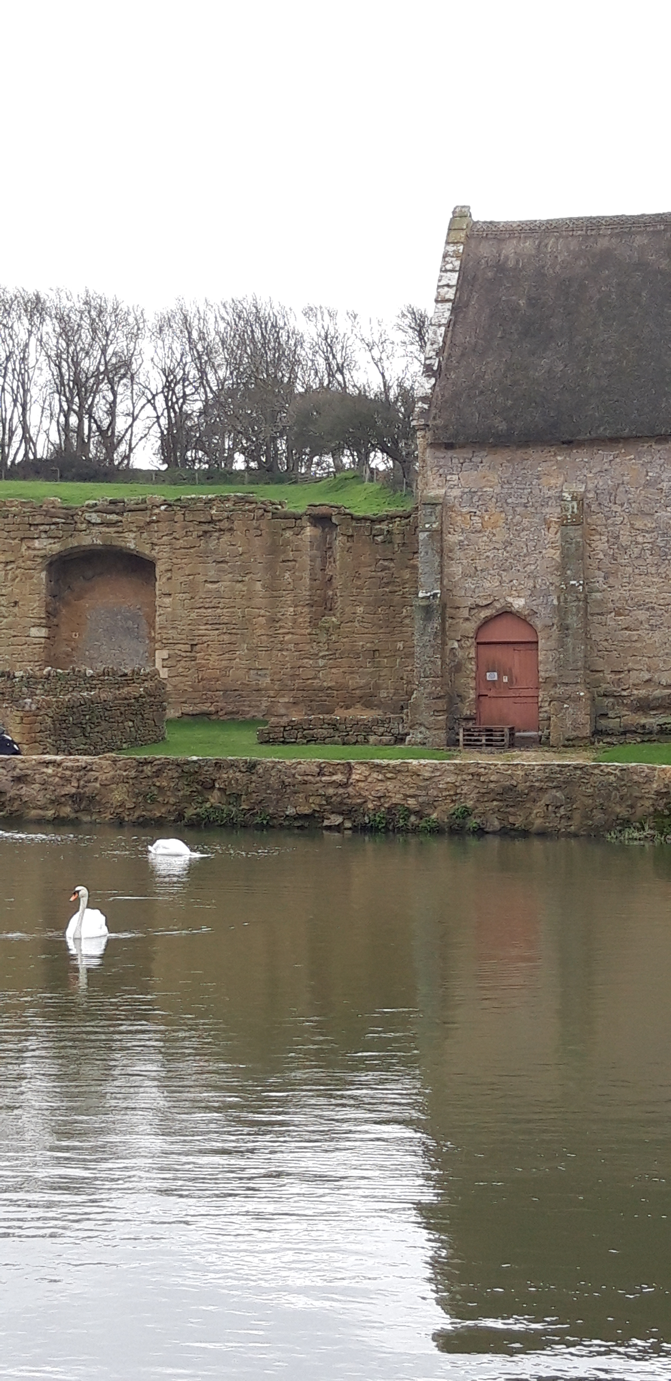
Weymouth to Lulworth Cove
33,000 steps
This is it. After 600 miles, stretched embarrassingly over seven years, I’m approaching the end of the Path.
I take a train to Weymouth with my good friend the Prof, who is joining me for the last push. The Prof has previously shown good taste in sections of the Path, having joined me for the Clovelly to Bude stretch (see Days 9-10), and then the dramatic (and very wet) rounding of Land’s End (Days 19-21). Accordingly, I have high hopes for this next few days.

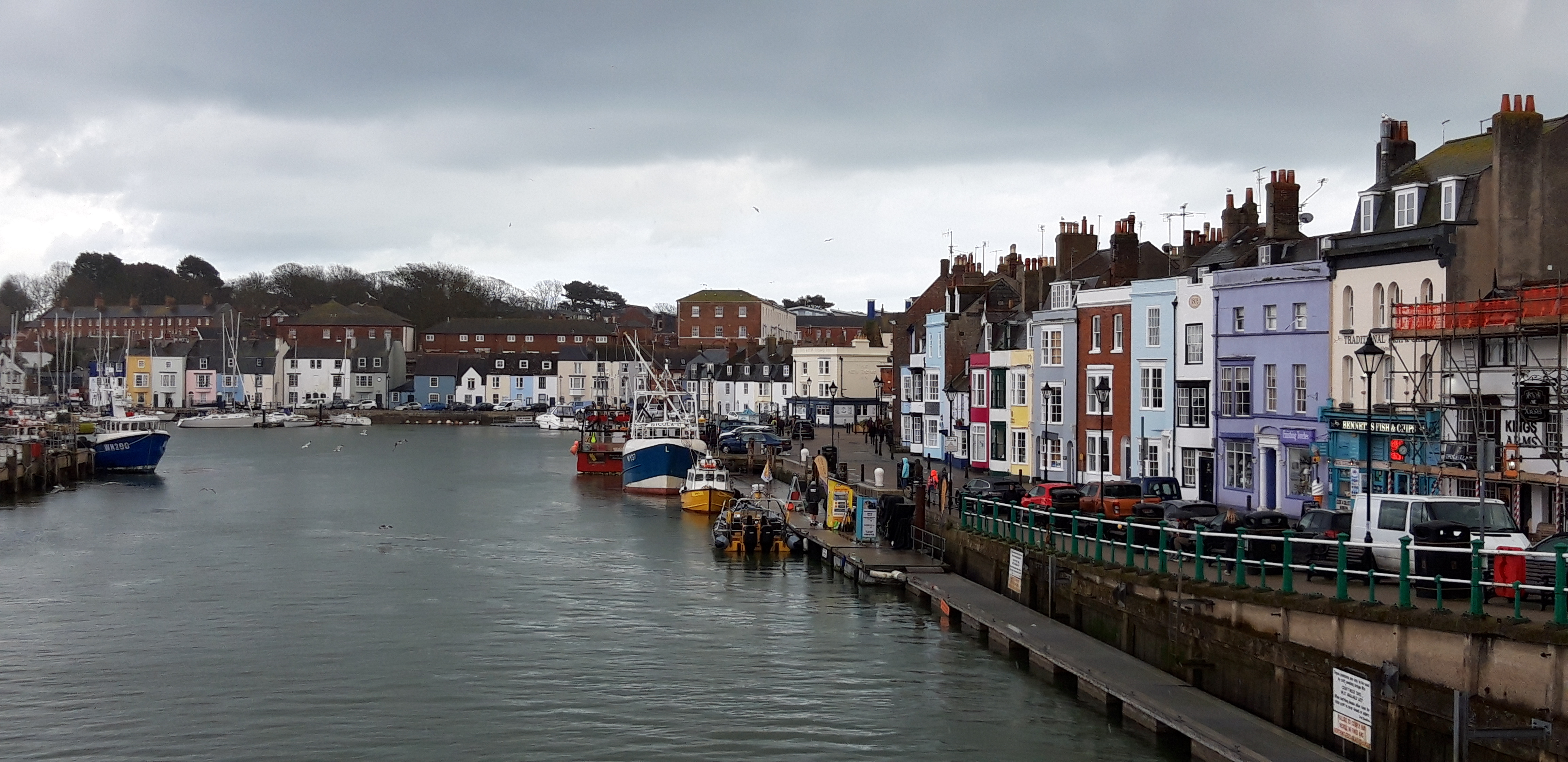
In Weymouth, there’s grey sky and light drizzle, but the forecast is for sunshine and a moderate breeze. We load up with curry, beer and sleep.
At breakfast, we eat eggs on crumpets. Derek, our host, tells us that this is a new addition to the menu, suggested by top chef, Marco Pierre White, when he stayed at the B&B on an abortive fishing trip.
Compared with what lies in store after Lulworth, today’s walk looks easy. But the Book promises “very steep ascents and descents” as we approach Lulworth Cove. I’ve learned to trust the book. Especially when it’s being miserable.
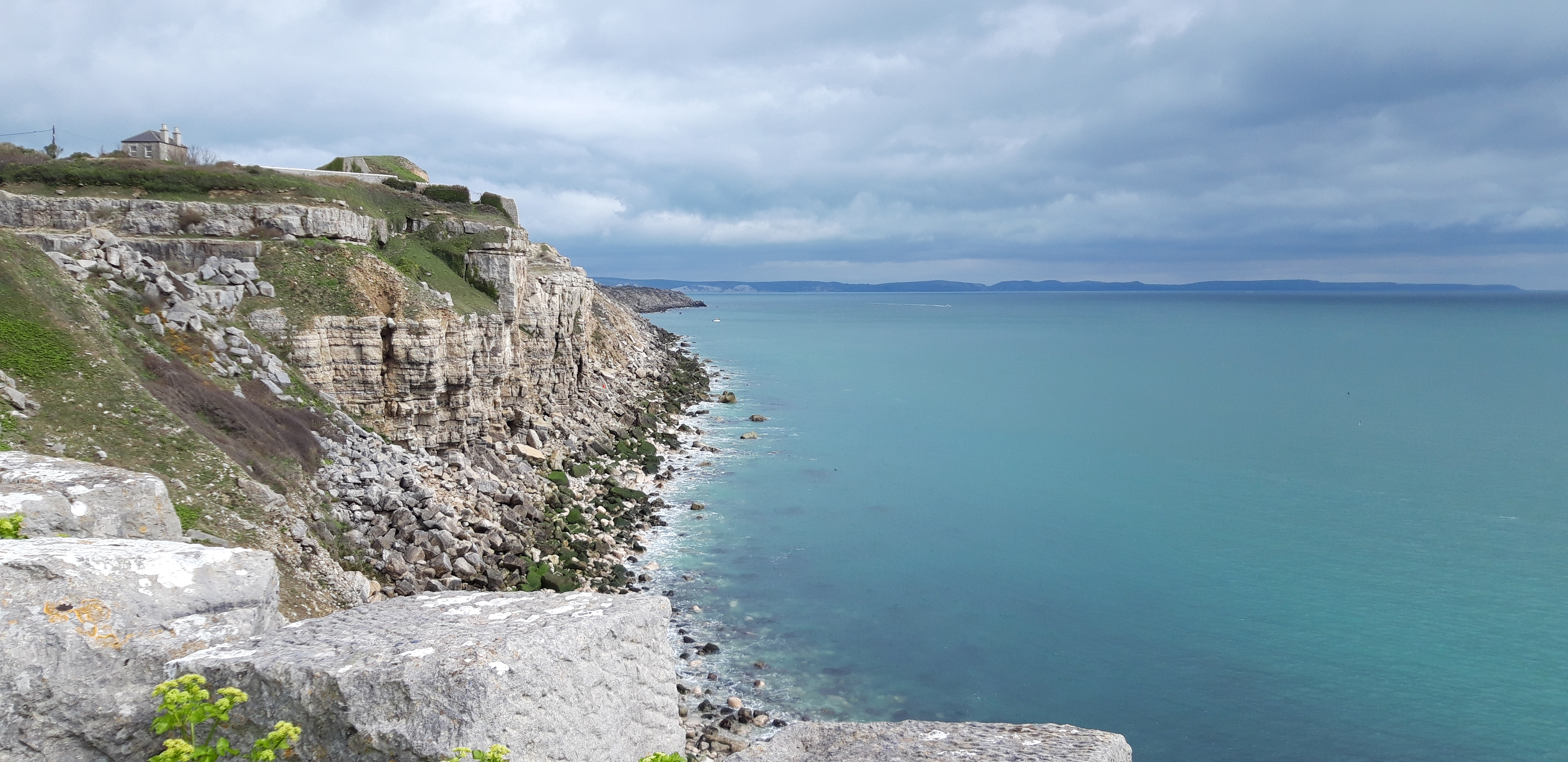
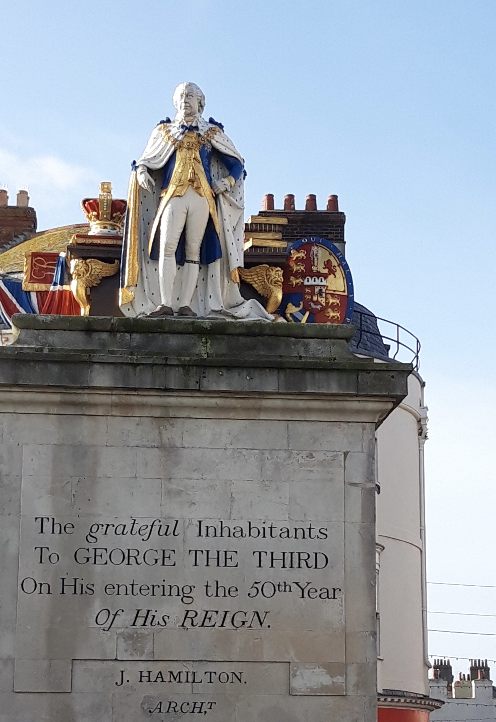
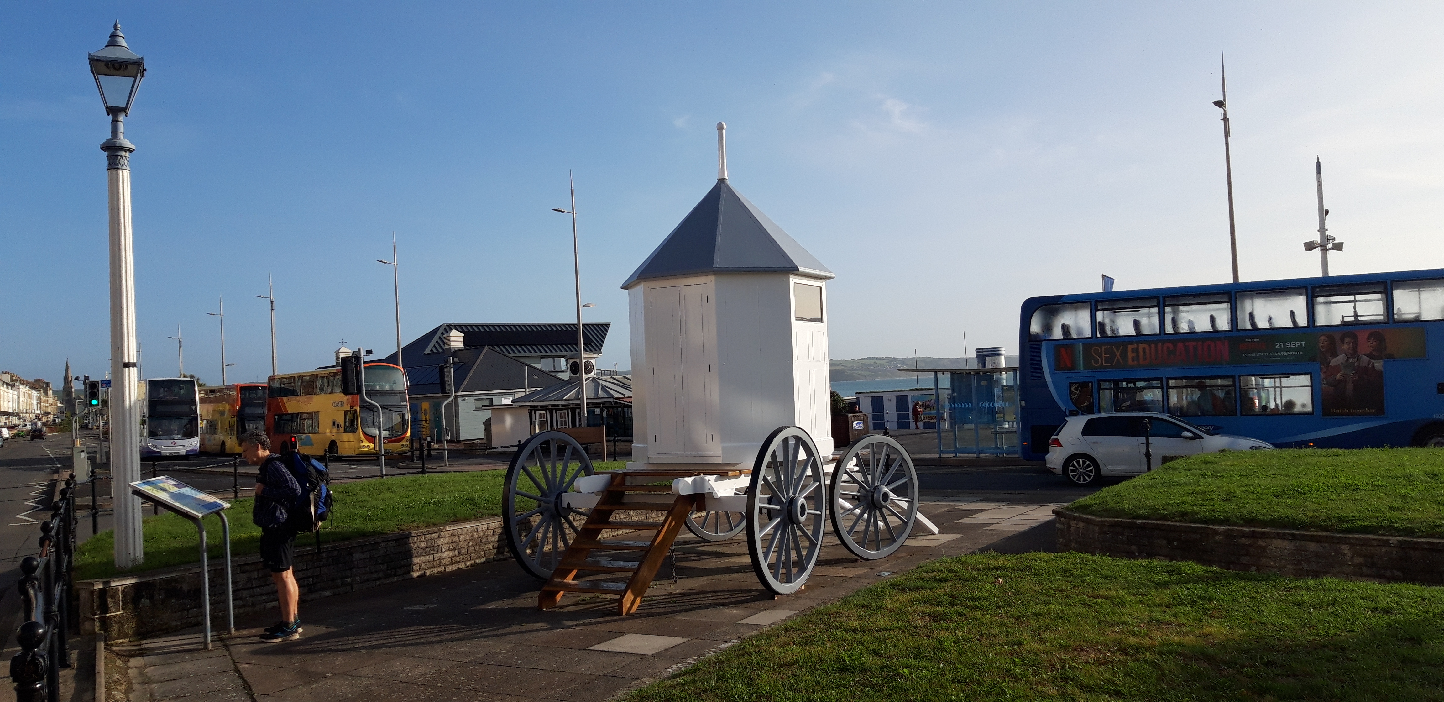
George III was keen on Weymouth. When not losing the American colonies, he came here for the health benefits of bathing in the sea and his patronage put the town on the map.
His statue, dating from 1810, still broods over the seafront, close to what appears to be his bathing machine.
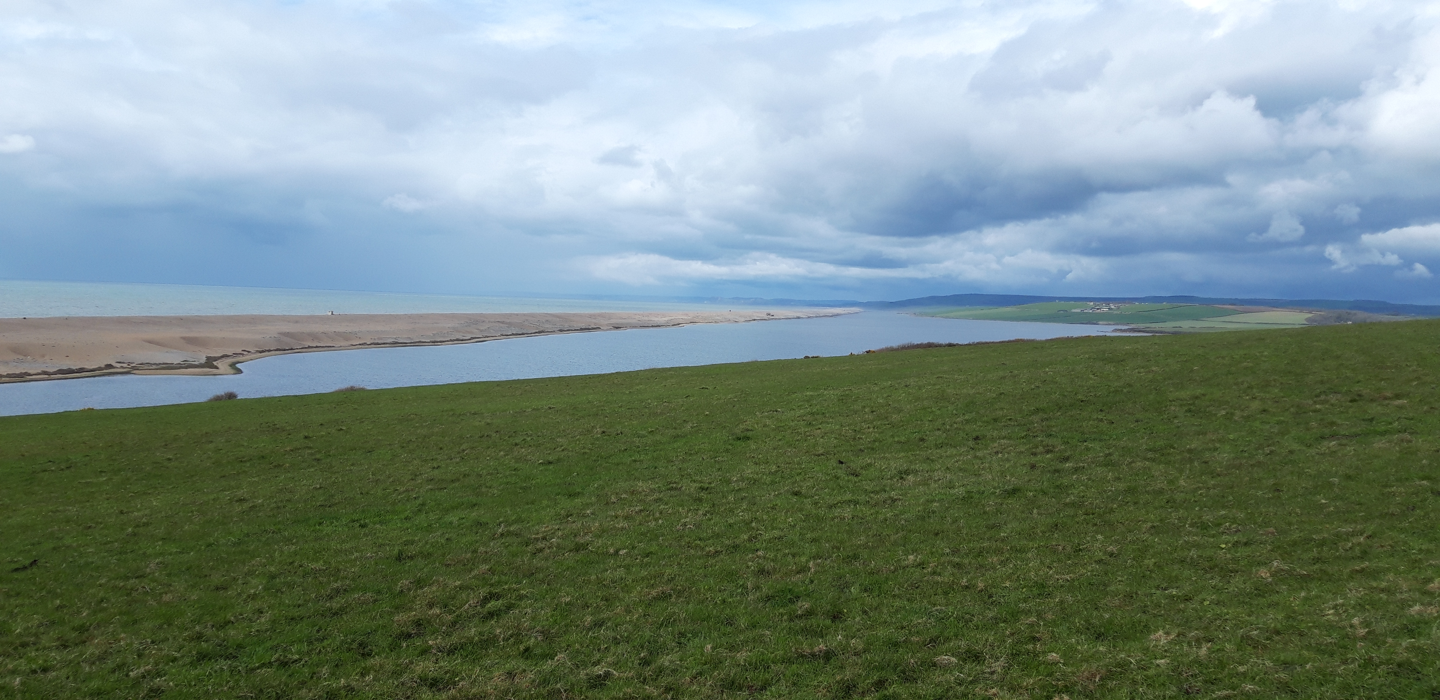
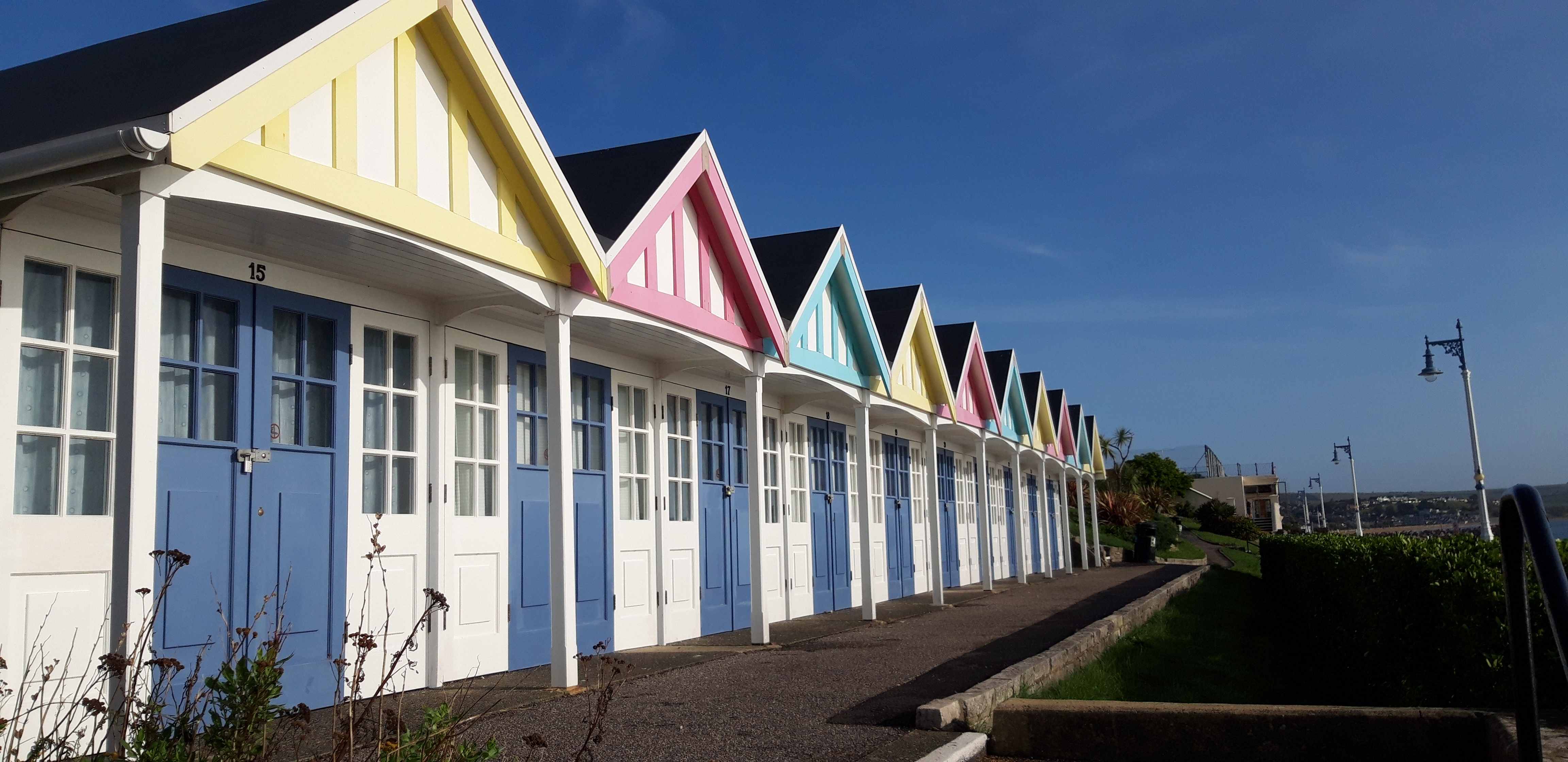
Yesterday’s rain has disappeared. We get a coffee and set off along the promenade in bright sunshine, passing cheerily-colourful beach huts.
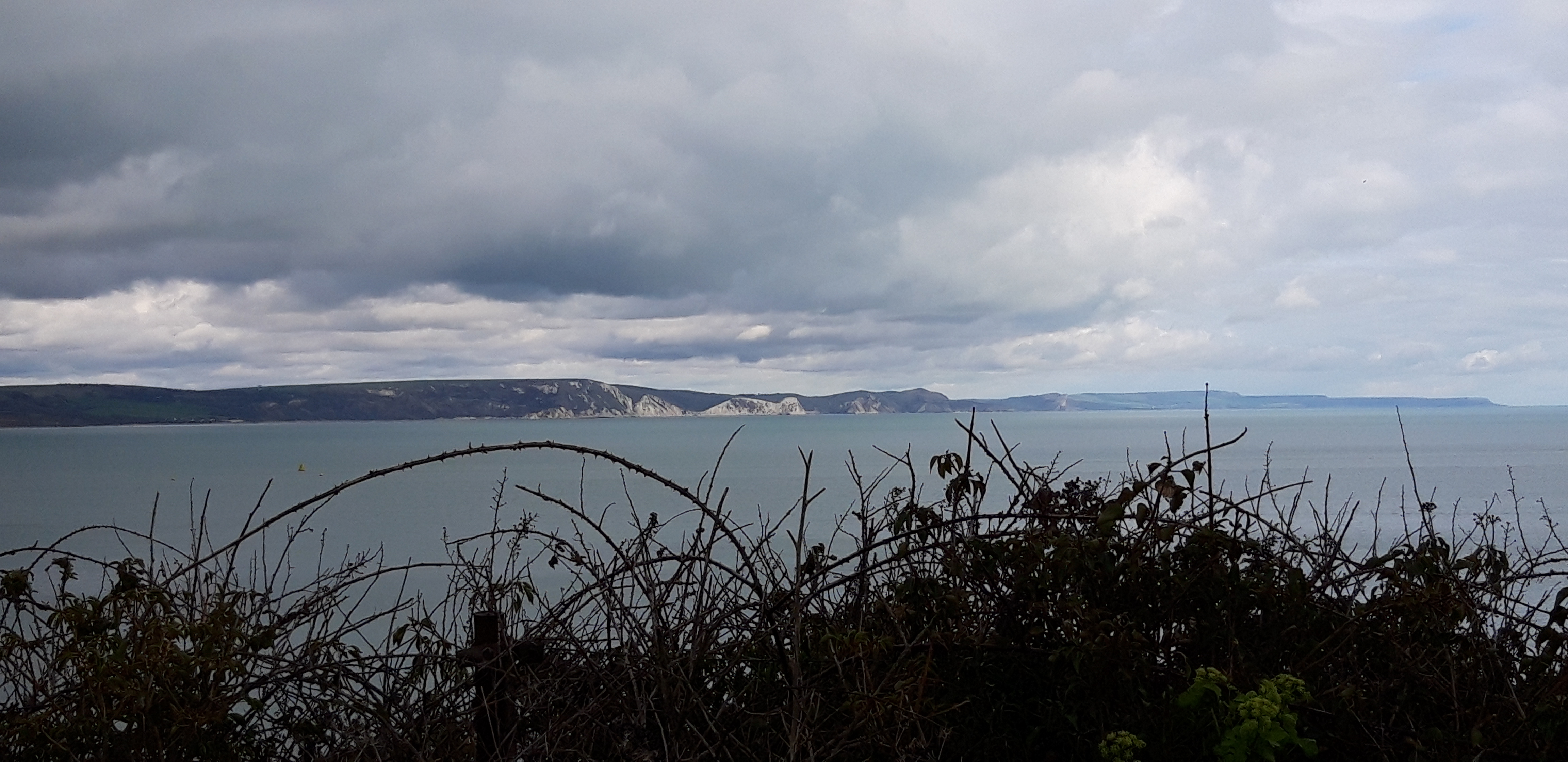
The sea is calm and appealing, with numerous swimmers. The day’s walk is spread out ahead of us along the curving edge of Weymouth Bay, although our destination is swallowed in distant haze.
At Bowleaze Cove, the Path leaves the easy paved surface and diverts briefly inland up the road, past a cafe popular with more sea swimmers. There’s an aroma of coffee and bacon. We turn right and across sloping fields on Bowleaze Cliffs.
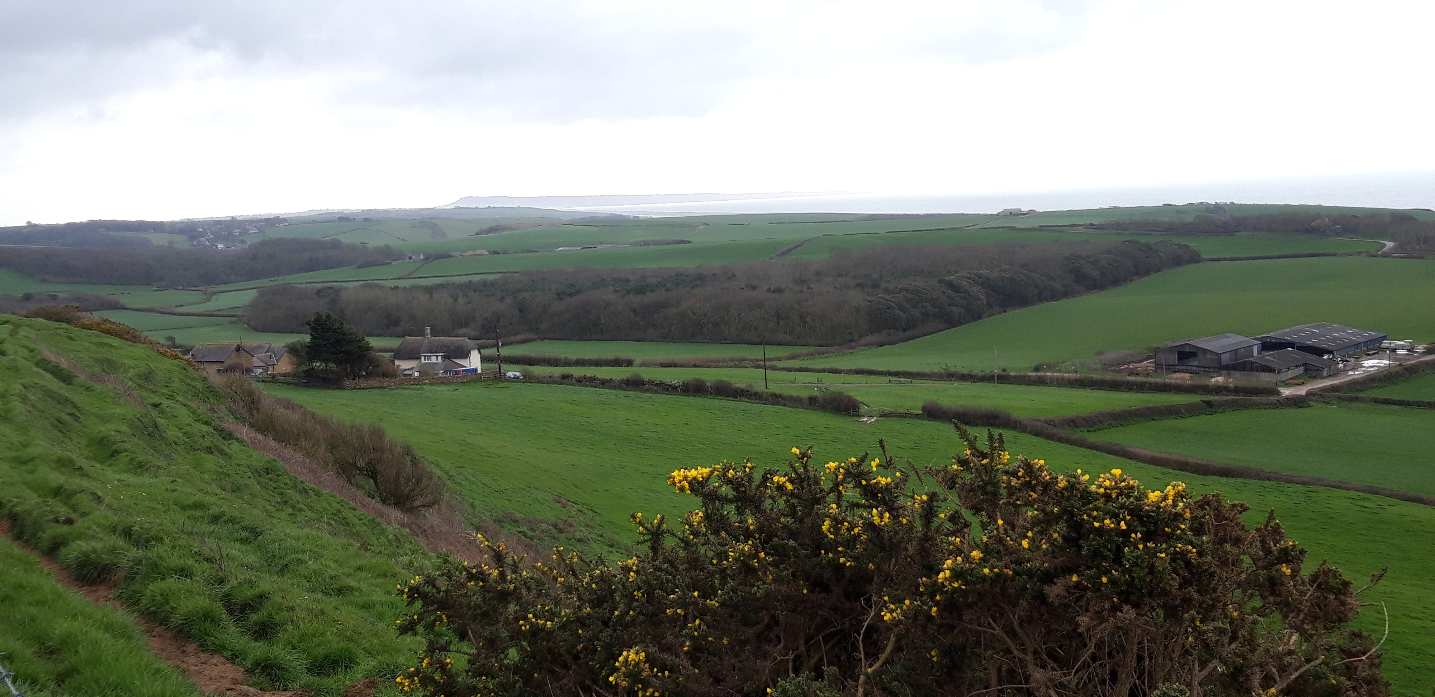
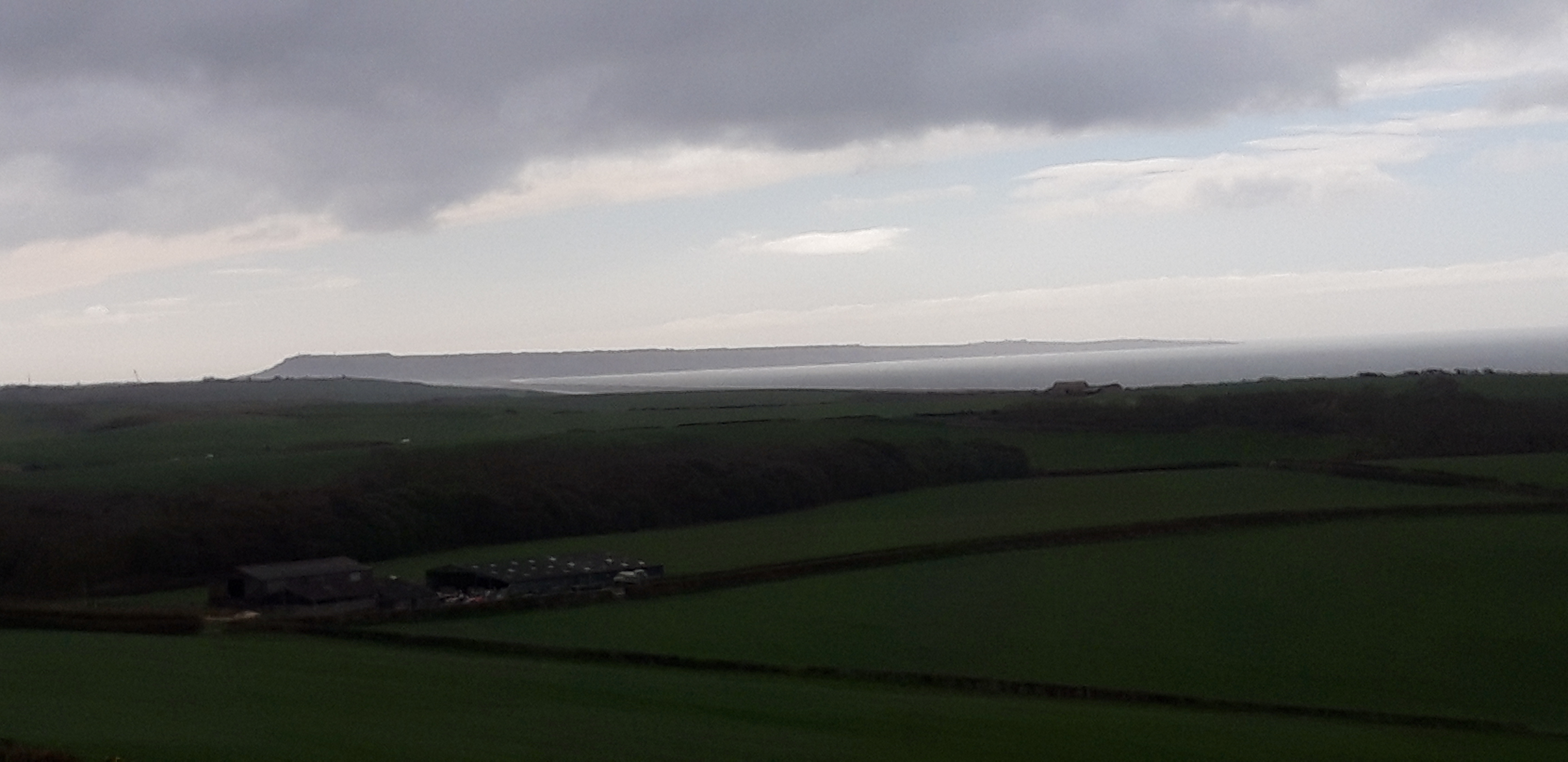
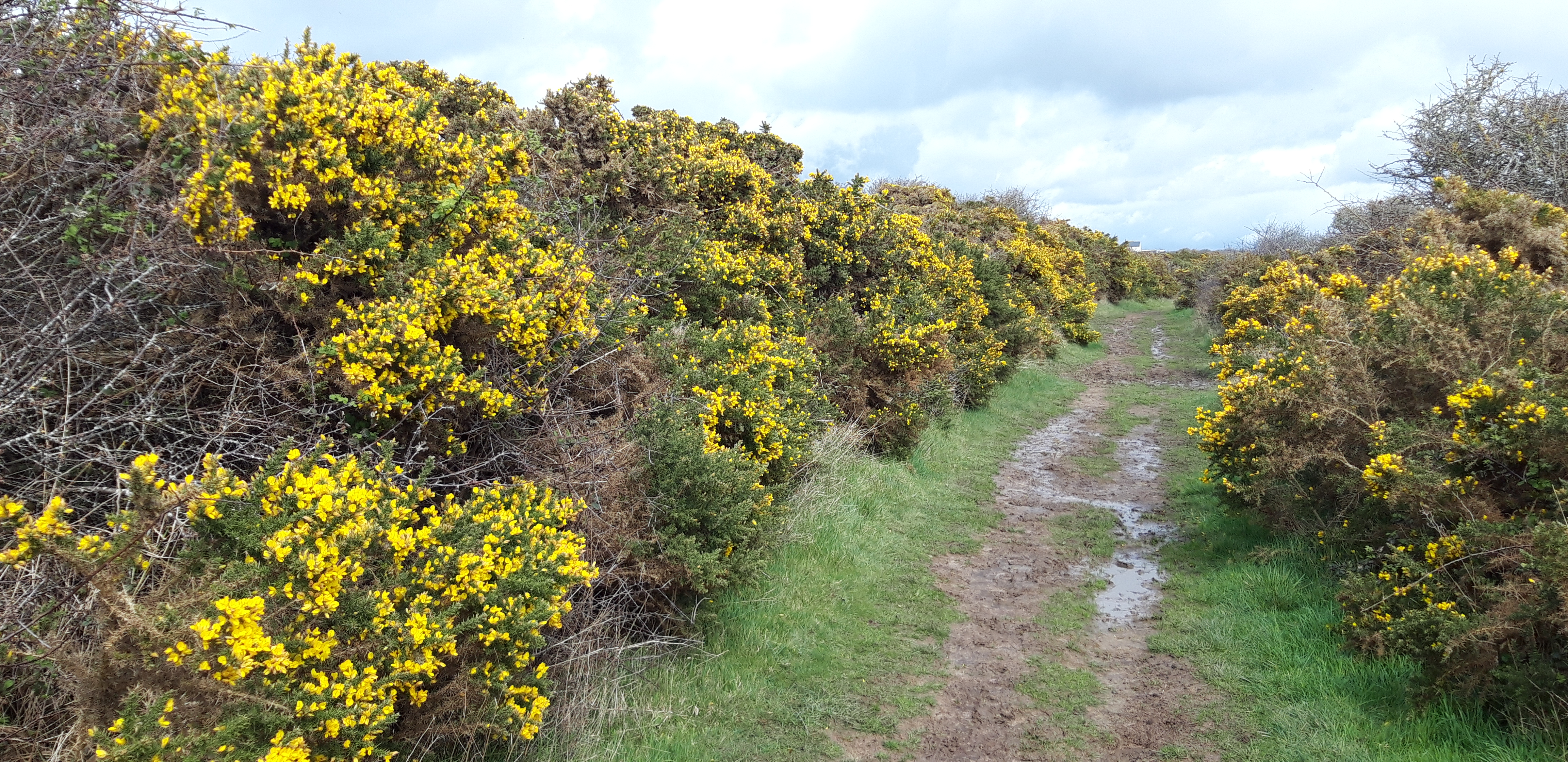
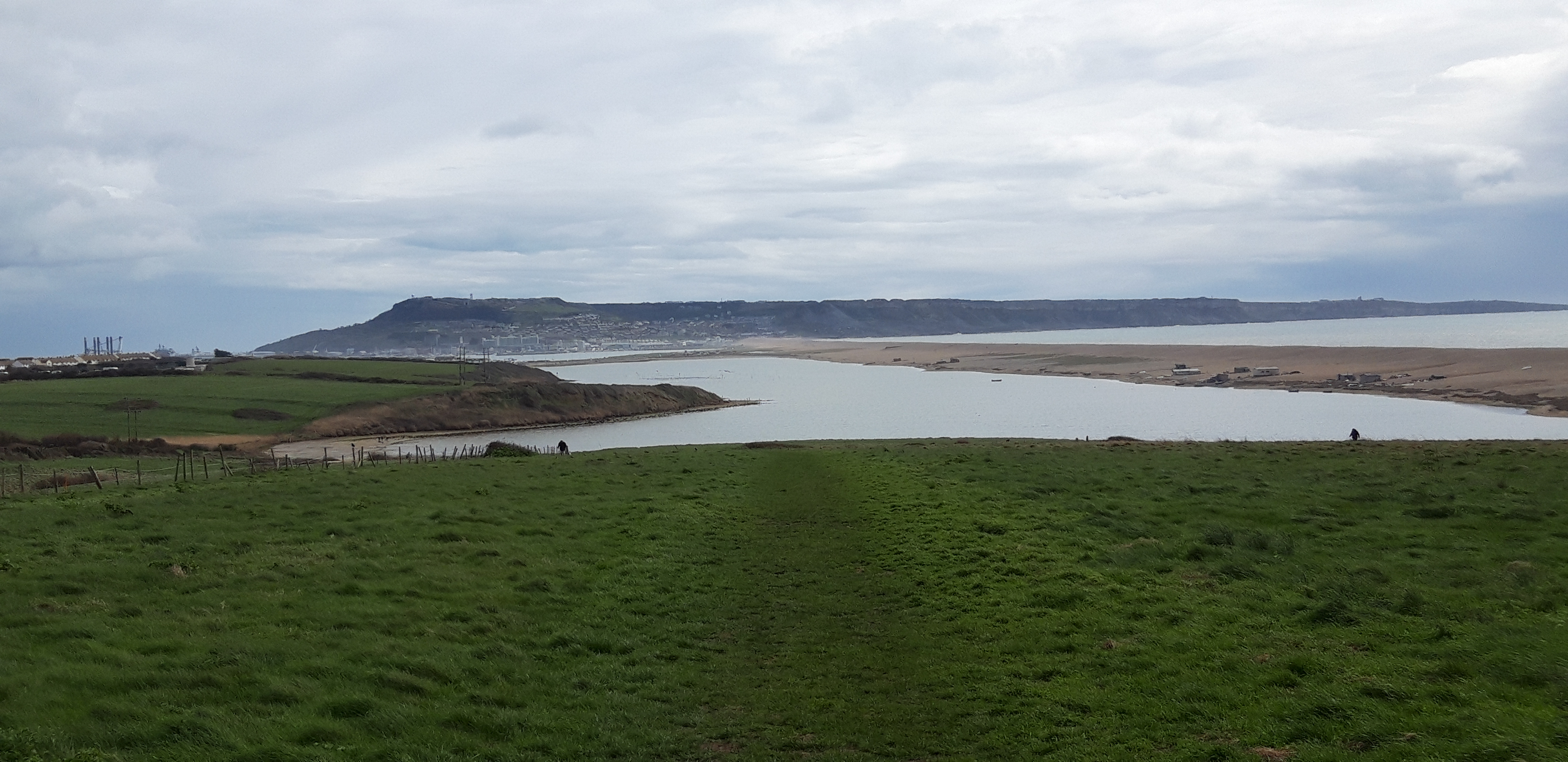
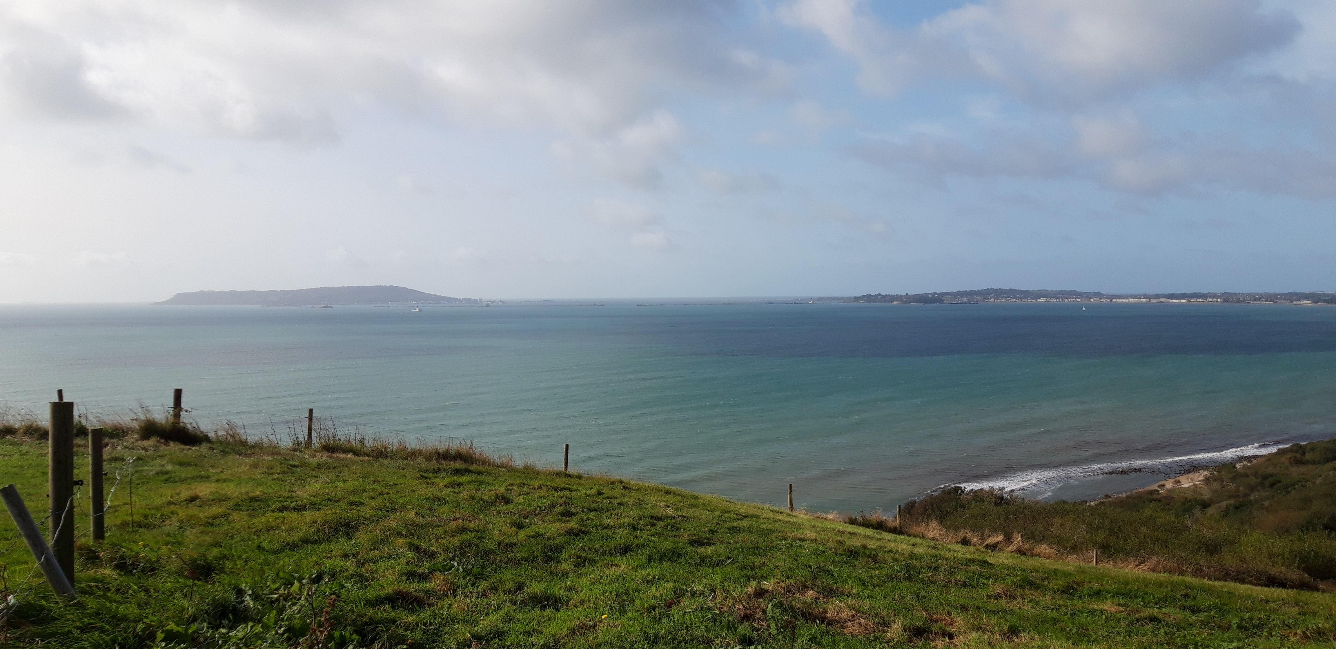
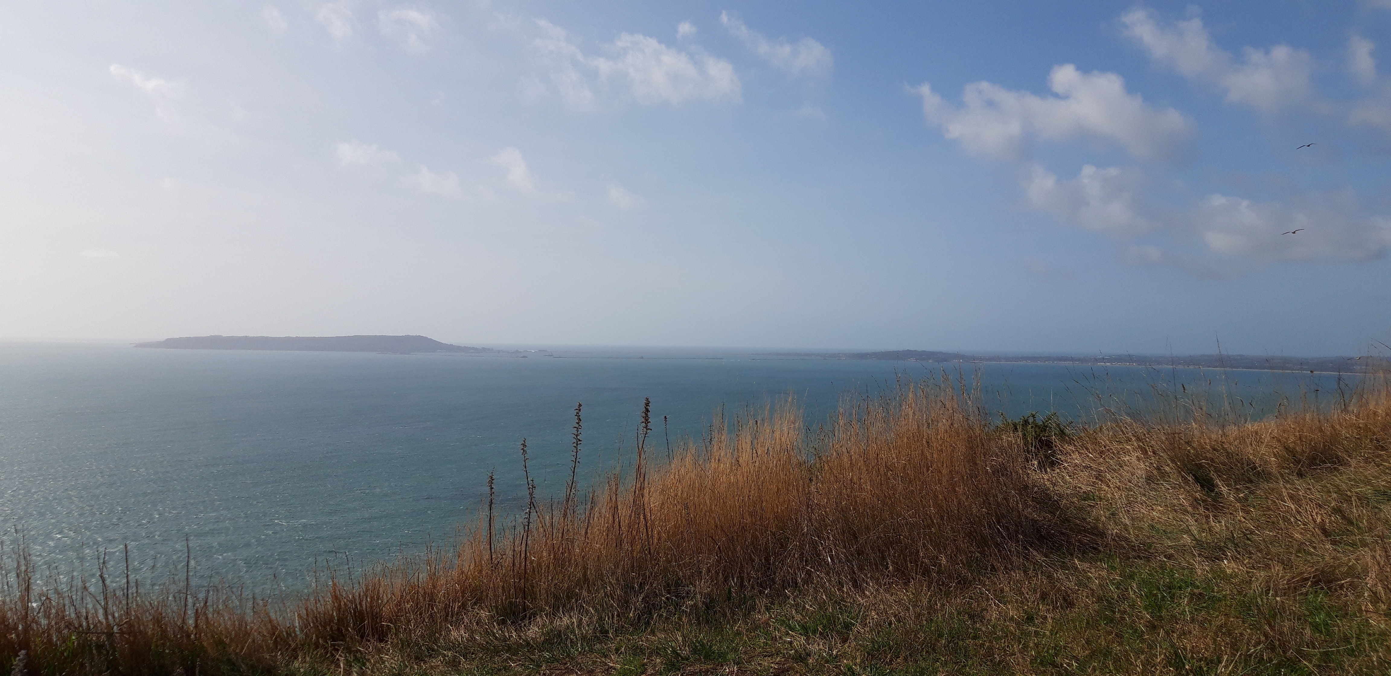
For a while the walking remains easy and pleasant, across rolling downs above the bright sea, surrounded by low gorse. There’s a fine view back to Portland and Weymouth, which during the morning slowly melt into the haze between aquamarine sea and pale sky.
We also soon see the chalk hillside figure of George III on a horse. Legend has it that the King was offended by the 1808 carving, which showed him riding away from Weymouth rather than towards it. He never came back.

Once again, I notice that walking with a friend is a different experience to walking alone. Instead of the mindless, metronomic plodding on my own, we find ourselves conducting an episodic and disorganised conversation that flits from subject to subject without rational links between them. Within one hour, topics discussed include:
- who Portland Bill might have been
- Speculation about the lifestyles of people swimming in the Weymouth sea at ten o’clock on a Friday morning, and what the rest of their day might involve
- Our top ten favourite music artists. We only had one in common (Bob Dylan). When I said Taylor Swift might be in mine, the Prof made a strange growling noise for several minutes. I had the grace not to do the same when he mentioned the Art Ensemble of Chicago
- We both knew what white noise was, but wondered whether there is such a thing as black noise, and if so, what it might sound like.
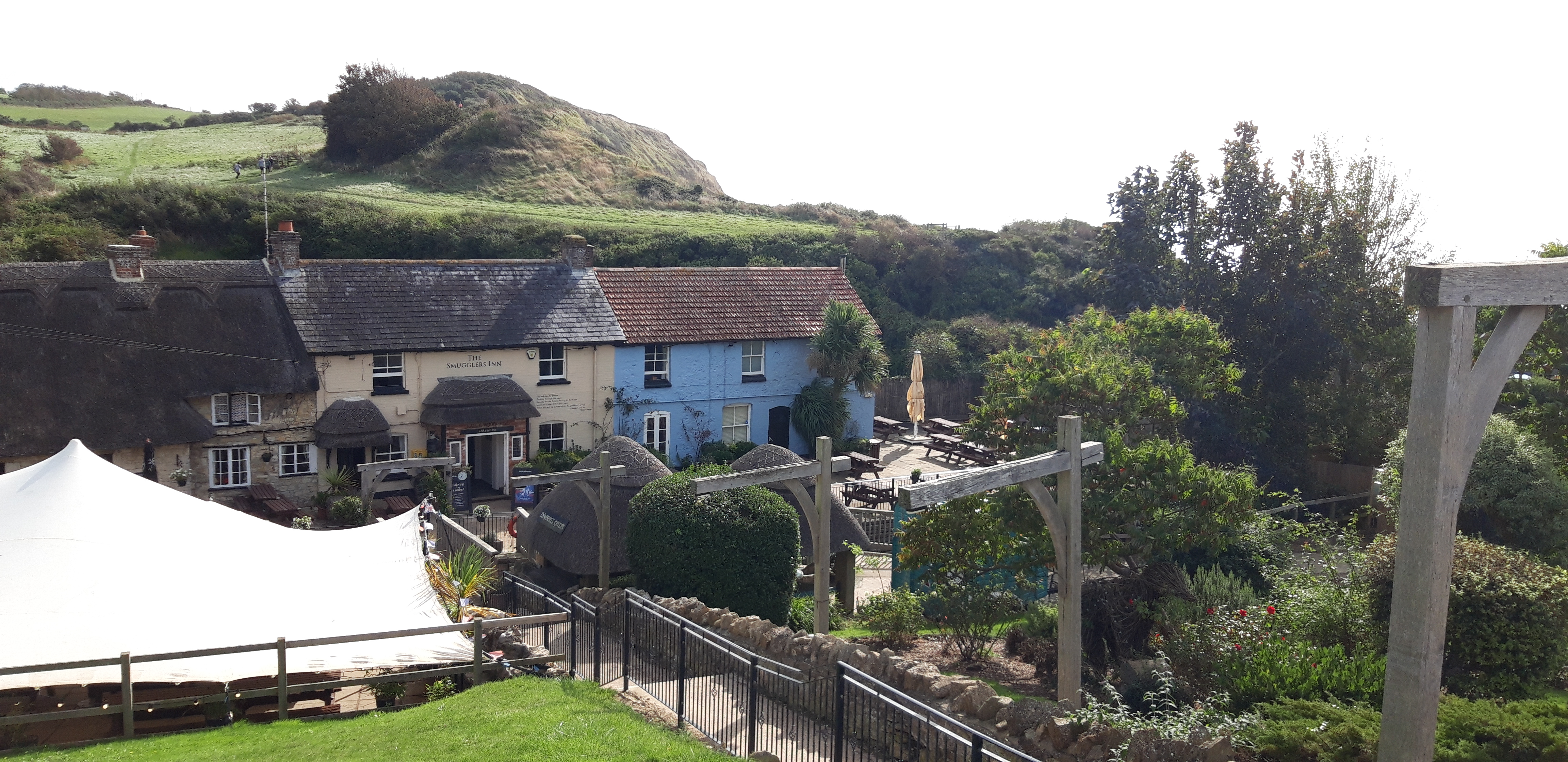
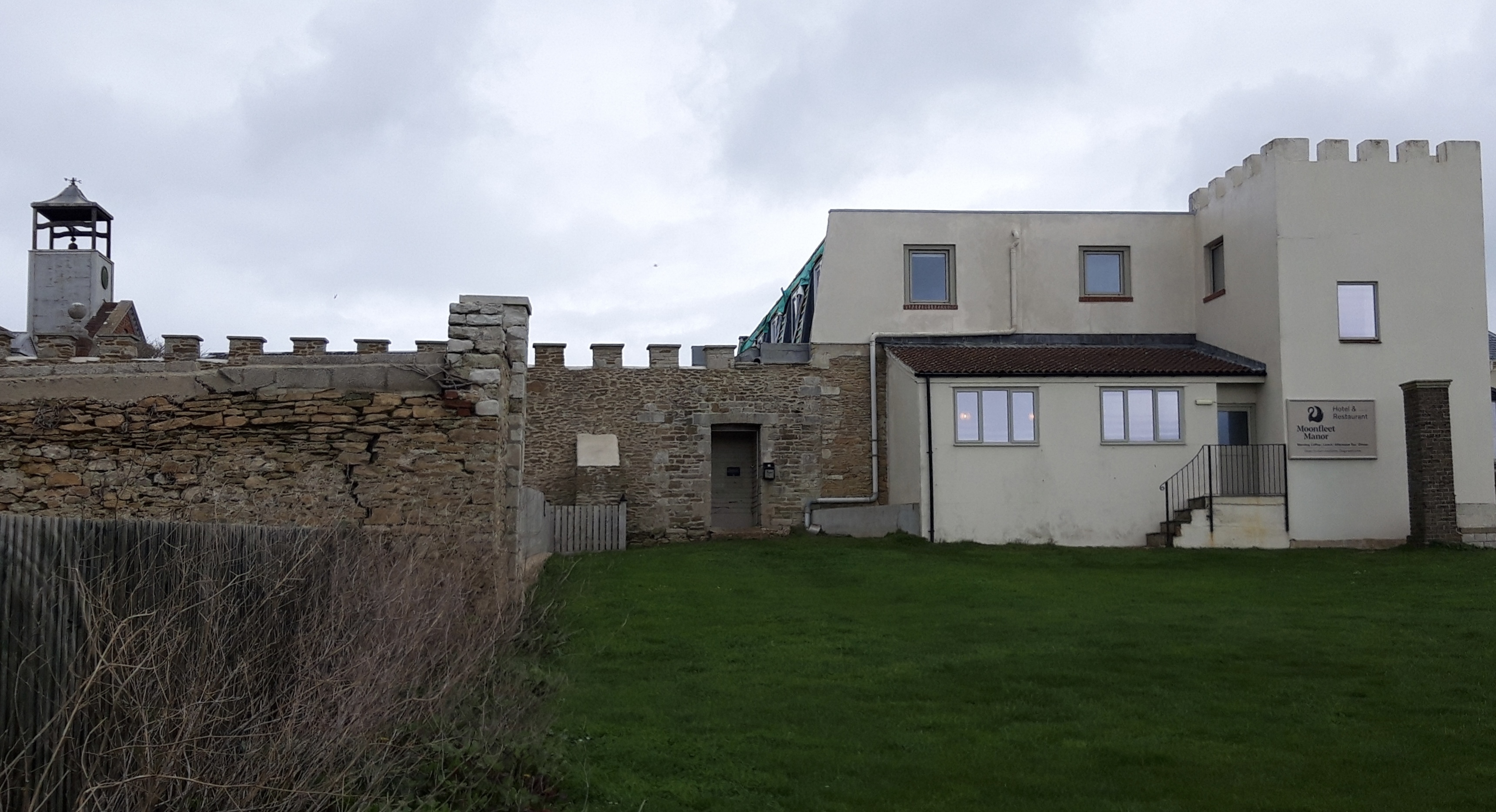
After a relatively gentle two hours, we reach Osmington Mills, where we come upon the Smuggler’s Inn, possibly the nicest pub on the whole coast path so far, nestled in a sheltered cleft at the end of a narrow valley. Wooden beams, thatched roof, a welcoming array of Badger Ales on tap.
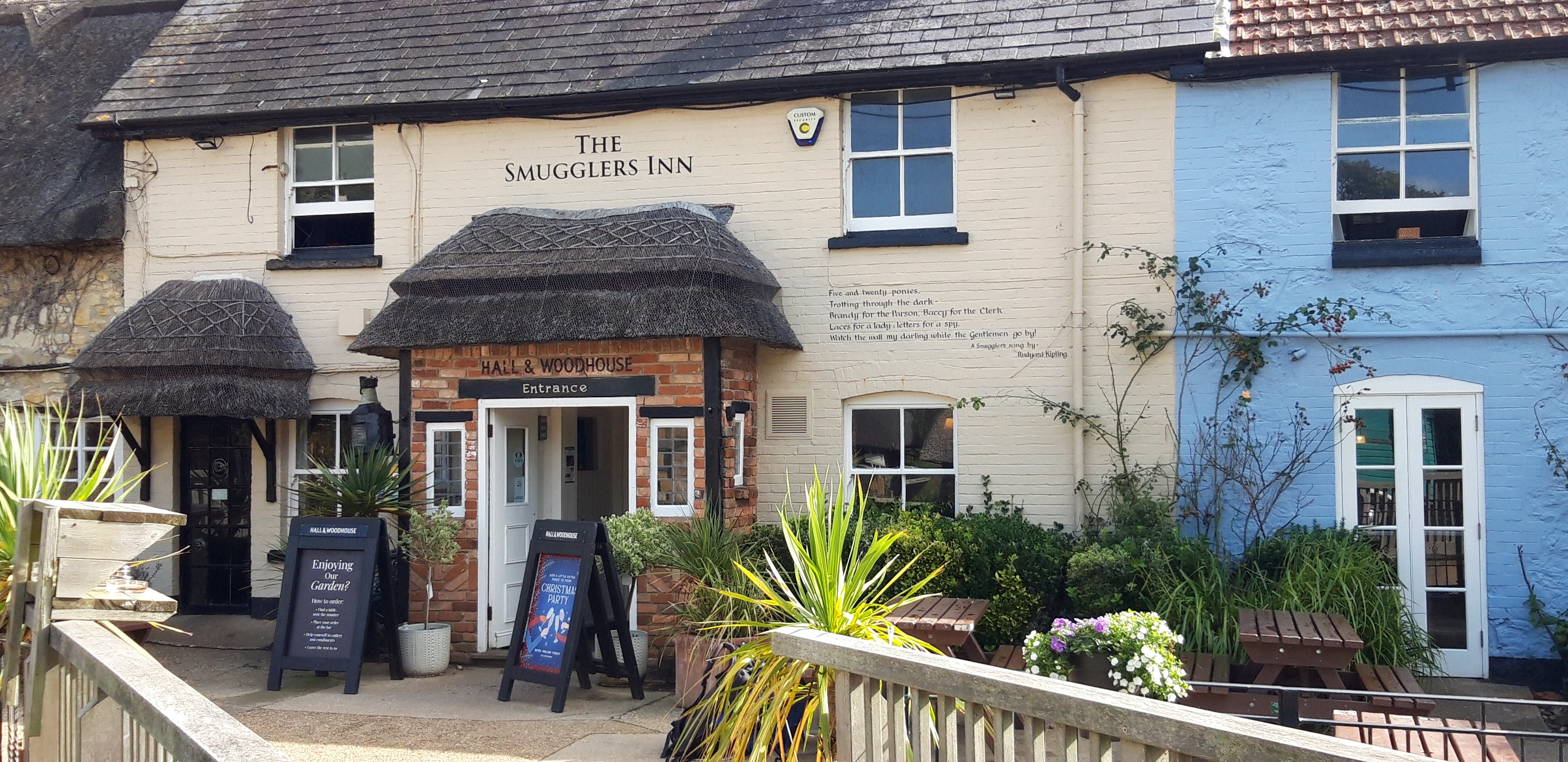
Sadly, poor coastal design means the pub is positioned three miles too early on the walk, and it’s only eleven in the morning. We stop for coffee and eventually leave at the time we would ideally have been arriving.
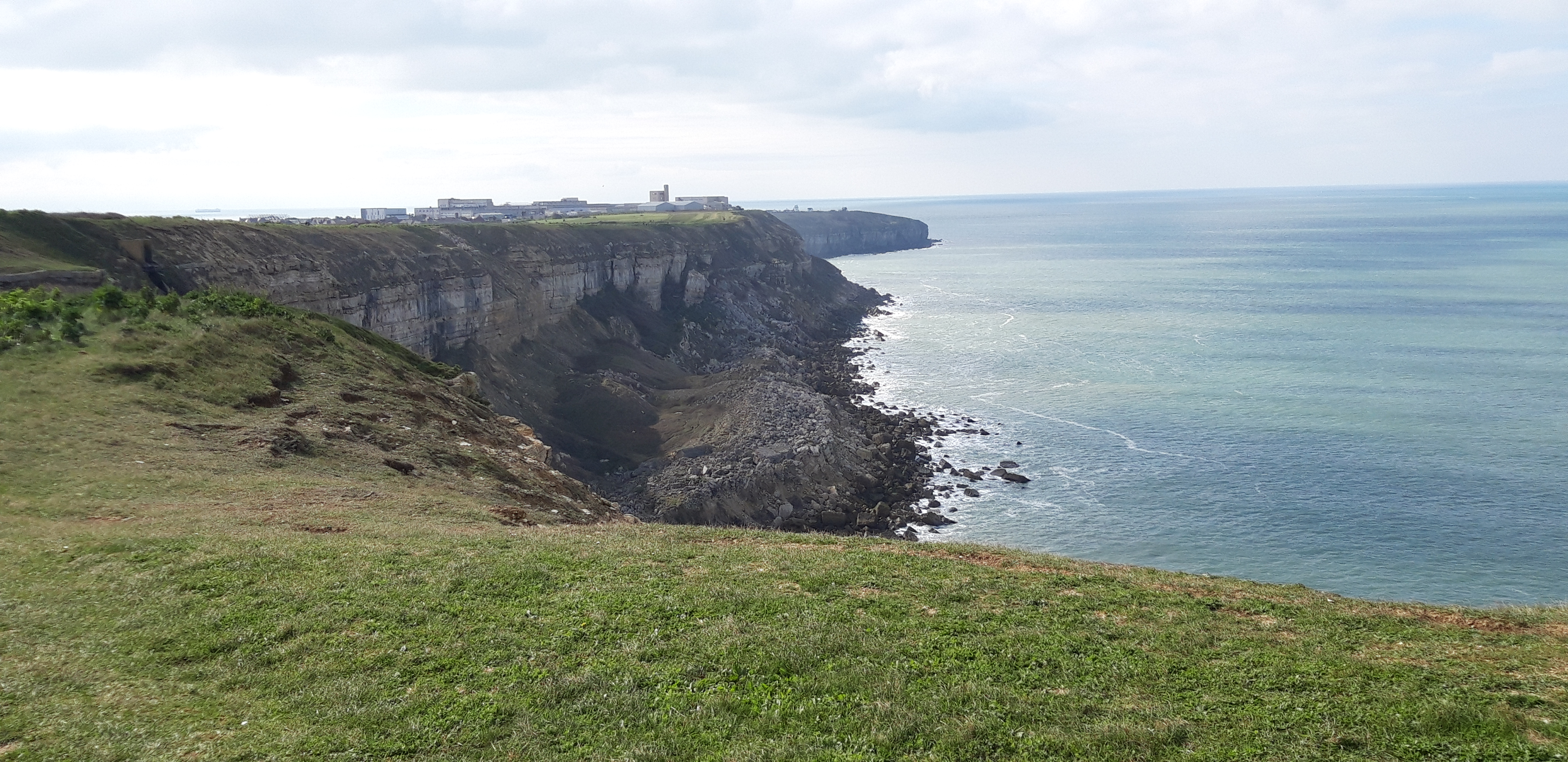
After the Smuggler’s, a gentle ascent takes us to Ringstead. An abandoned medieval village is invisible inland. We walk along Burning Cliff. This sounds dramatic, but there is no sign of fire. There was once – it got its name from having smouldered for several years after 1826, because of the bituminous shale underground.
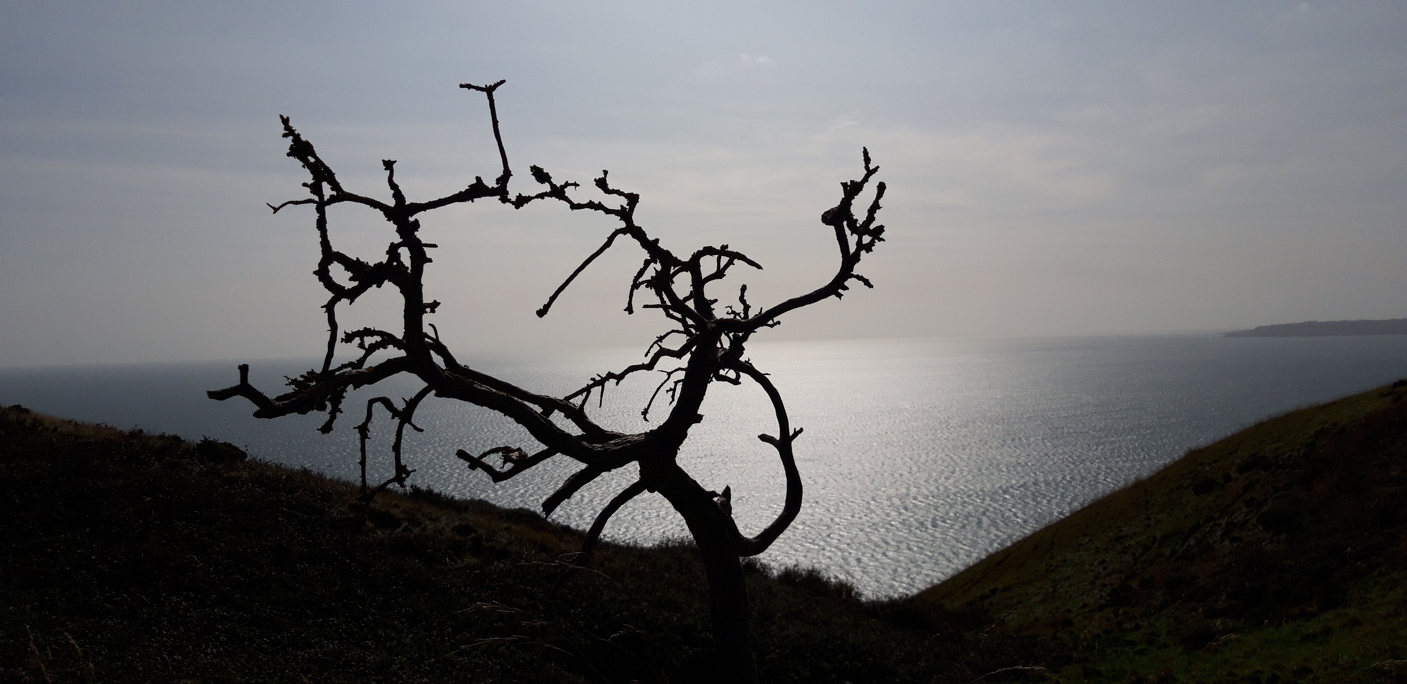
We stop for lunch on the top of White Nothe. I say lunch, but it’s a bag of nuts and half a cereal bar. I lie on my back for a few minutes in the hot sun. The wind rustles the grass and the sea far below sounds to my ill-educated urban ear like a distant motorway.
After this, the sharp ascents and descents promised by the guide book dutifully materialise. Conversation dwindles as we toil uphill, and carefully pick our way down treacherous slopes.
A series of offshore rocks seem to have been named by an unimaginative farmer: the Calf, the Cow, the Blind Cow and finally the Bull.
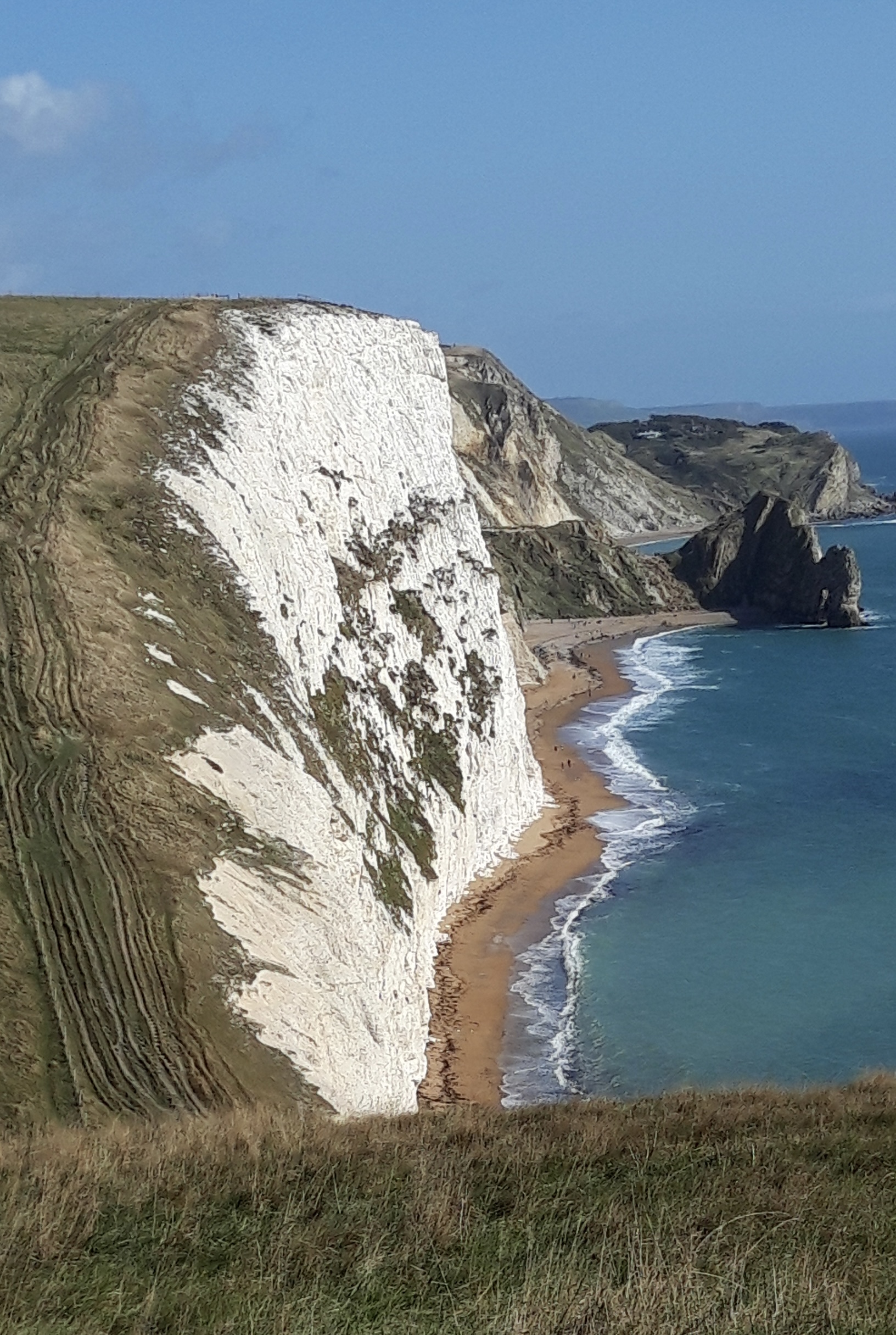
At last, the famous arch of Durdle Door comes into view, and we’re suddenly among scores of day trippers.
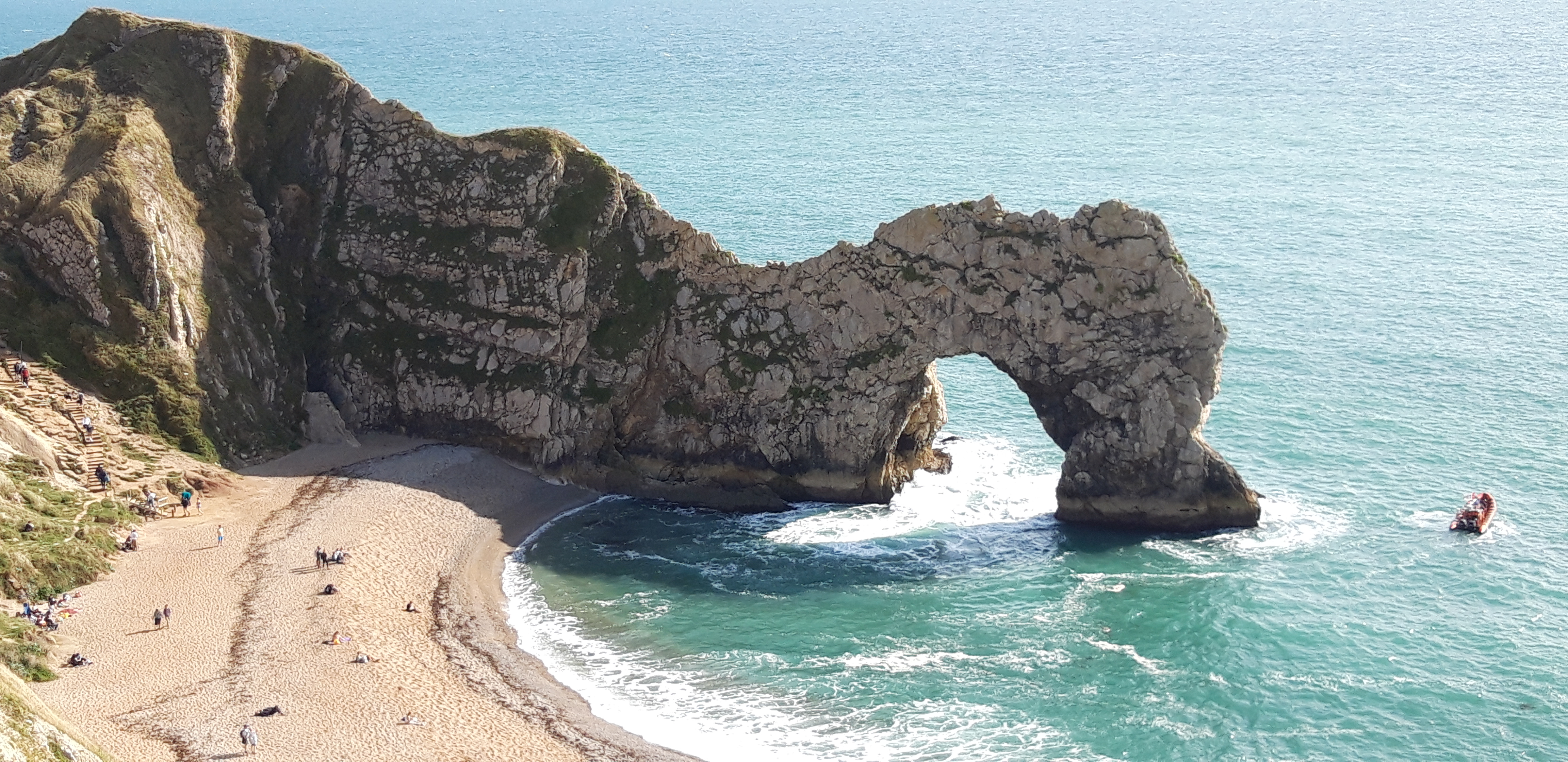
Durdle Door is the most dramatic illustration of the way in which this bit of Dorset coastline is shaped by the contrasting hardnesses of the rocks, and the local patterns of faults and folds.
Narrow bands of rock run parallel to the shoreline and have been folded almost vertical. A band of tough Portland limestone runs along the shore. Behind this is a band of weaker, more easily eroded rocks, and behind this is a stronger and much thicker band of chalk. On this part of the coast, nearly all of the limestone has been removed by sea erosion, whilst the remainder forms the small headland which includes the arch. Erosion at the western end of the limestone band has resulted in the arch formation.
Durdle Door can be seen to great effect in this Tears for Fears video.
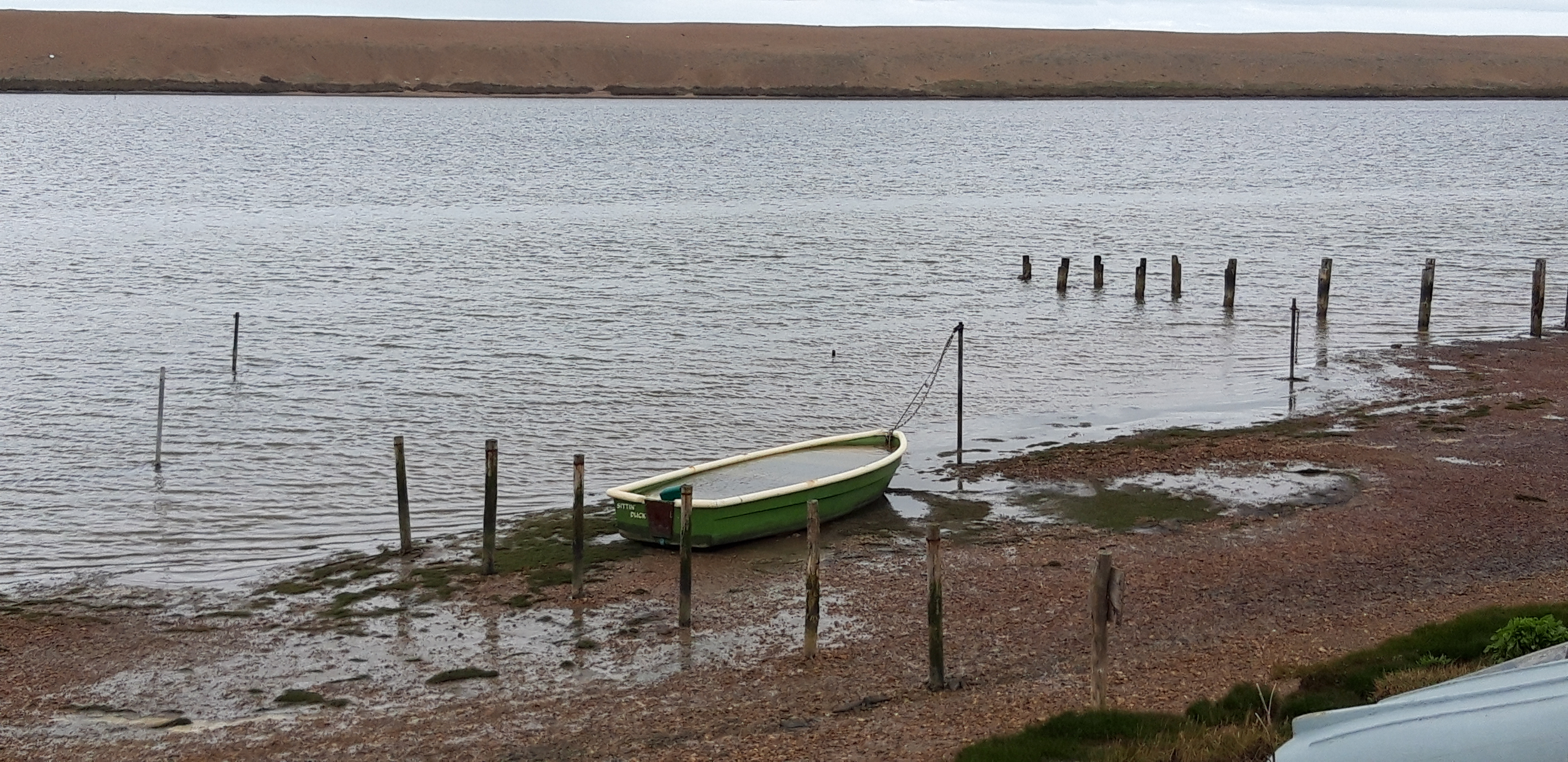
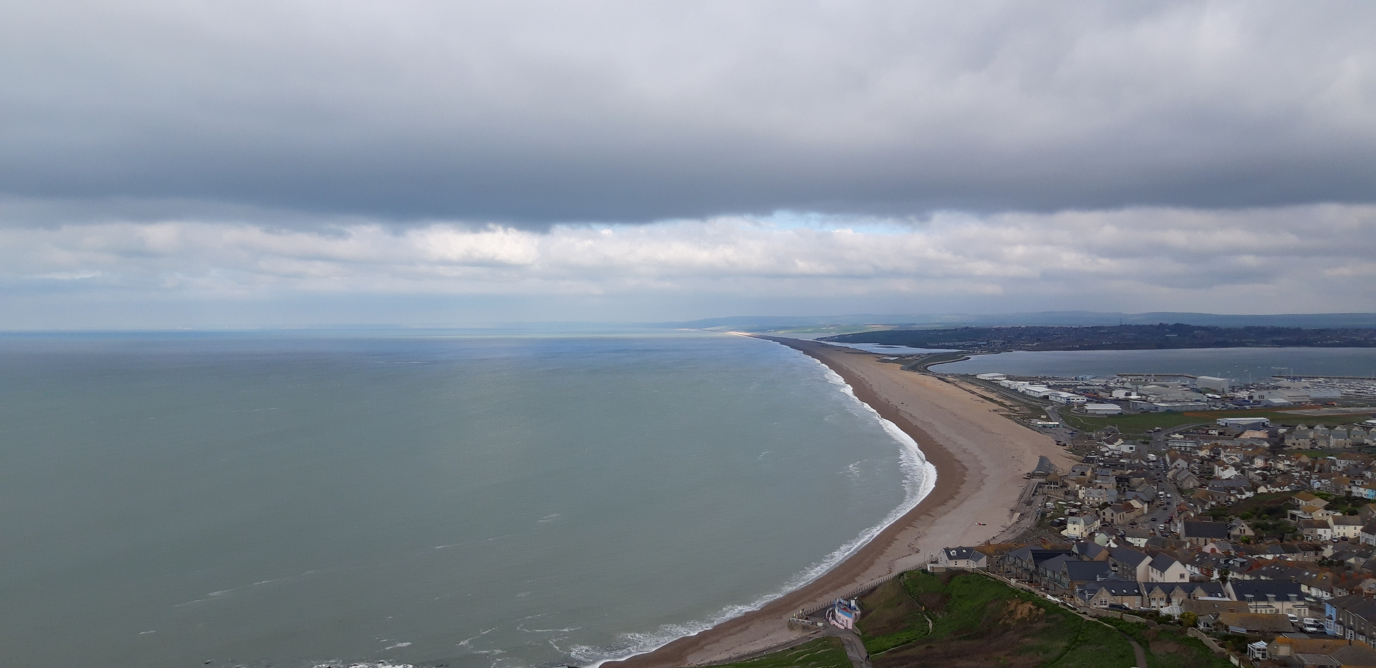
From Durdle Door, it’s one more ascent and descent to reach Lulworth, a cove that looks like it was designed and installed by a specialist in cove design. It’s a world heritage site, which gets half a million visitors a year.
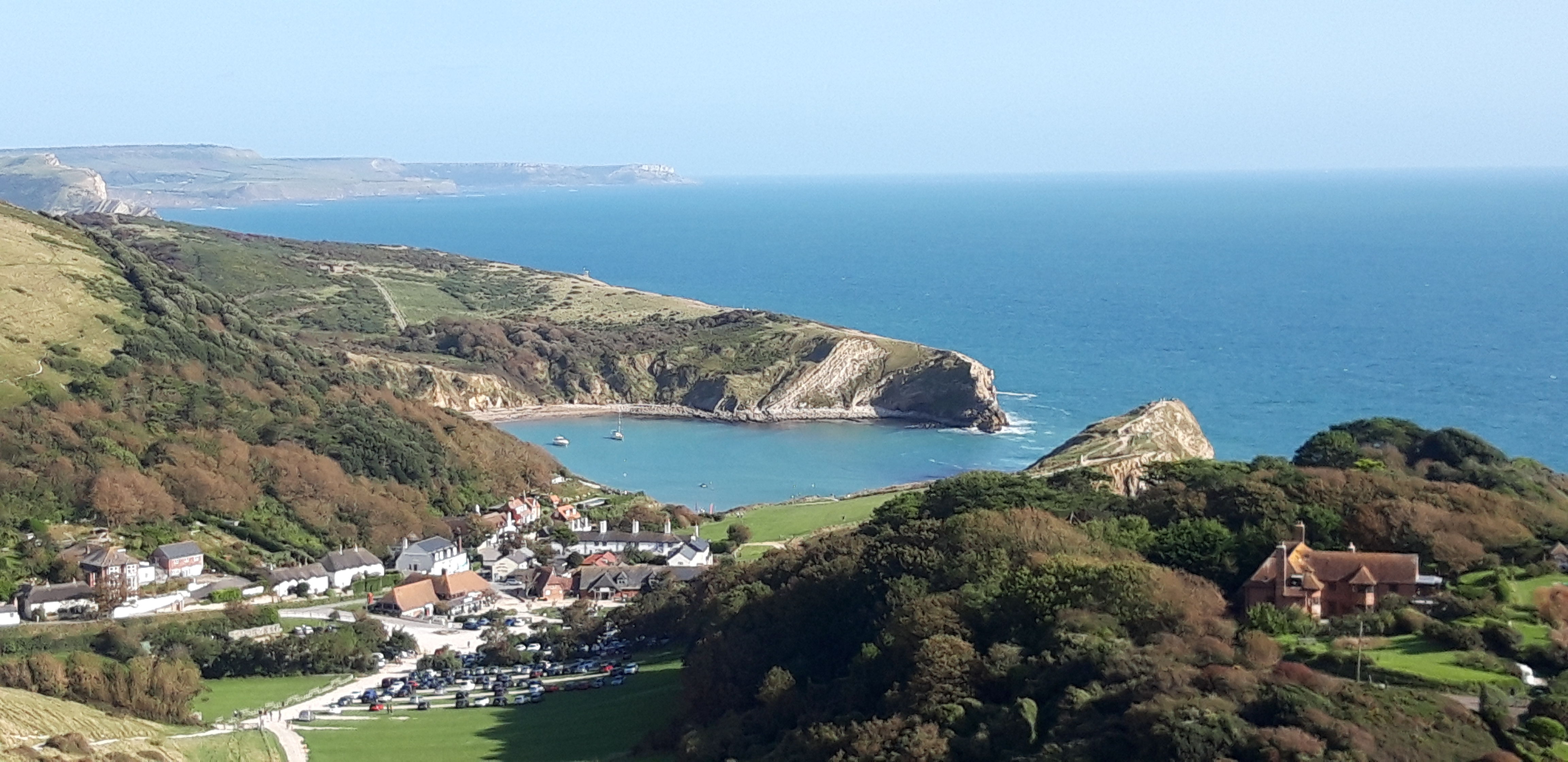
The Cove has formed as a result of the same geological forces that shaped Durdle Door. The narrow band of Portland limestone at the shoreline has eroded less than the softer cove clays and sands behind it.
Durdle Door and Lulworth Cove are so extraordinary that I find I can forgive the coastal designer who put the Smuggler’s Inn too far west.
Whether I will be able to forgive Swanage being twenty miles to the east, only tomorrow will tell.