Eype’s Mouth to Abbotsbury
28,000 steps
In the morning I do a quick stocktake. Water is everywhere. Lying in pools on the ground, dripping from trees and buildings. Spraying itself liberally into my face as I set out, assisted in reaching all parts of me by the vigorous wind.
On the plus side – I’ve had coffee. And there are no blisters. Yet.
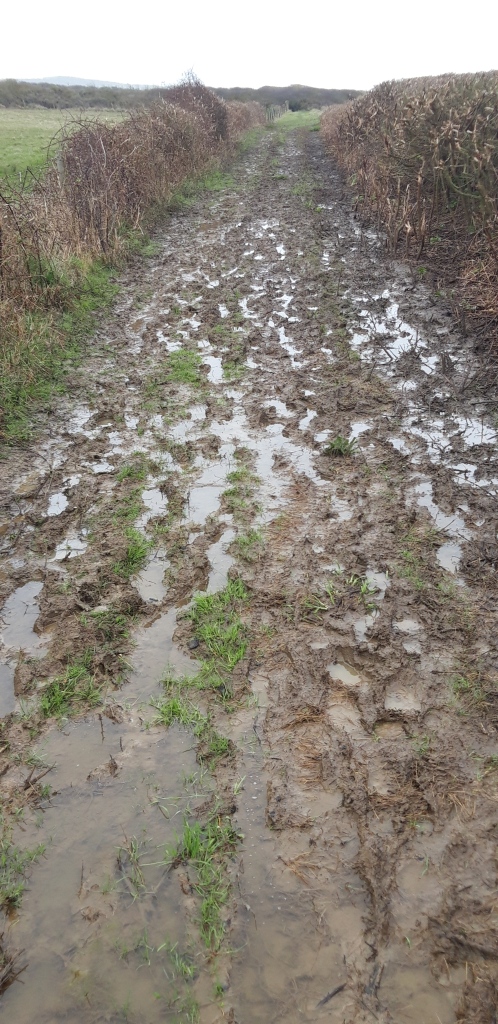
And after an initial downpour, the rain fades. The Path is however even muddier than yesterday after a further night’s rain. Mud will become a theme of the day.
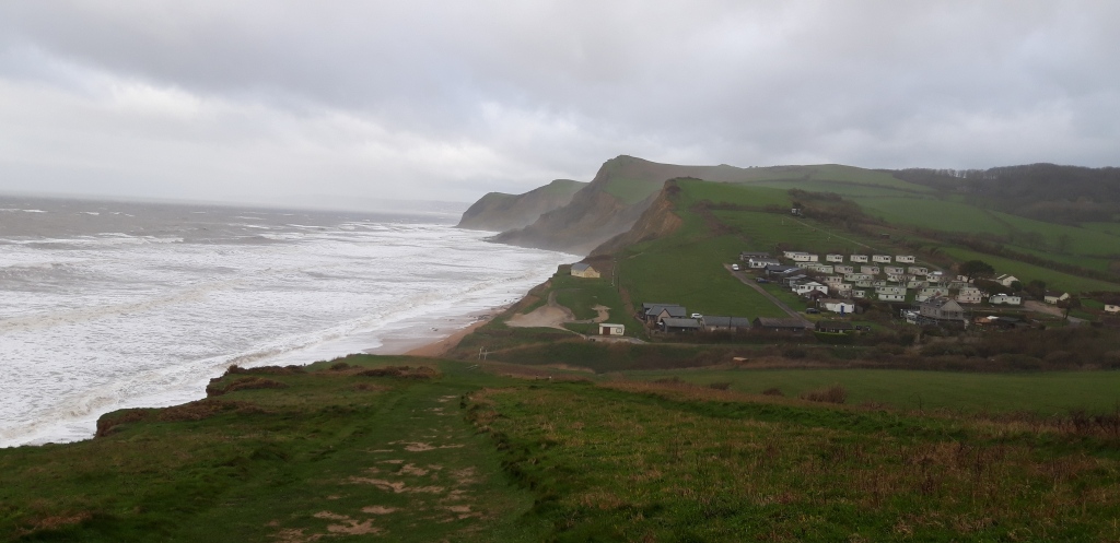
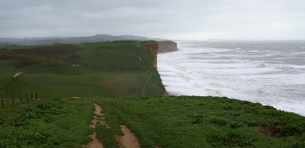
I’m promised a walk along a “spectacularly dramatic section of the Jurassic Coast World Heritage Site”. Beginning, the guide says, “with some short, steep climbs”.
I’m also promised the chance of peregrines, possibly visible from Burton Cliff, and level going as I reach “the spectacular, long pebbly sweep of Chesil Beach.”
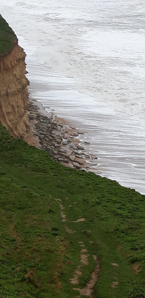
Leaving Eype’s Mouth, the Path is very slippery. And did I mention that the morning is very windy? I put up the hood of my cagoule as I climb the slope towards West Bay. The wind rattles it so fast and loud around my ears it sounds like a helicopter landing behind me. The wind is gusty and uneven, causing me to stumble a few times. I make a mental note to keep close to the line of the fence, not the cliff. Signs warn of unstable cliff edges, I don’t want to add an unstable walker to the mix.
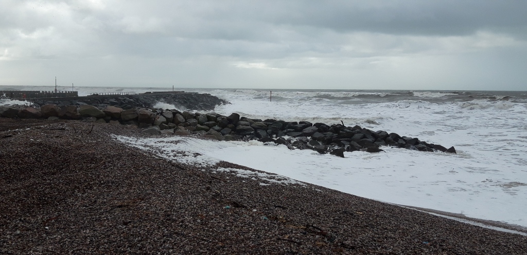
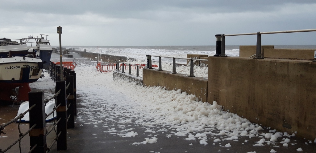
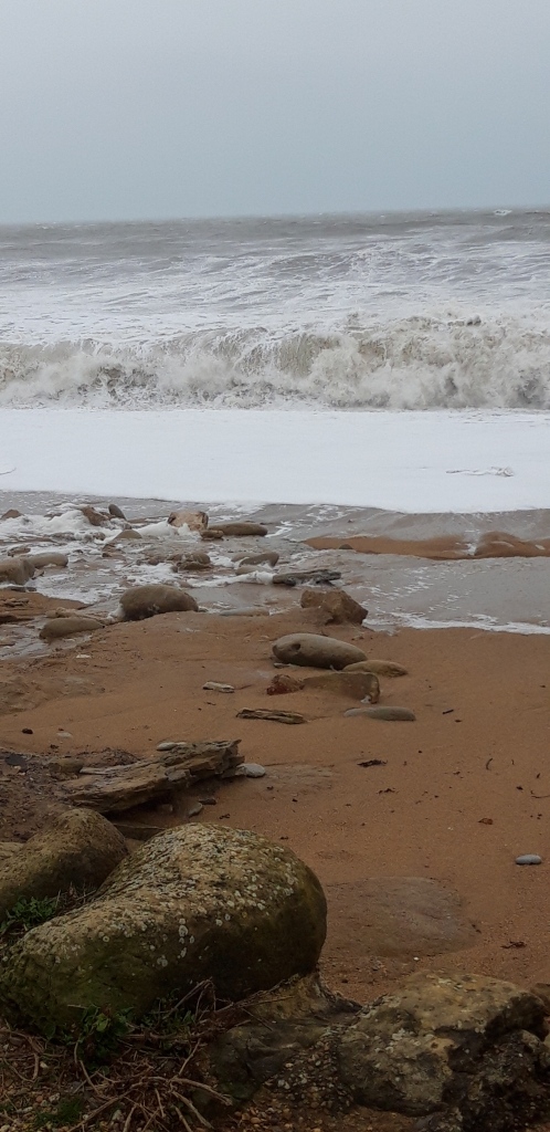
At last, in the distance I can see the Isle of Portland, a faint smudge on the horizon through a haze of cloud and spray. I stop for coffee in West Bay. While I drink it, rain sweeps in from the churning sea on the high wind. Foam coats the harbour like fresh snow. I waste ten minutes trying to get the rain cover on my rucksack and my full poncho over me and pack. This takes so long that the rain stops and I give up.
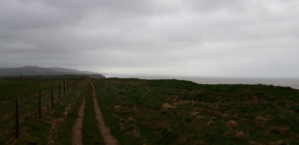
I climb a steep slope up muddy steps from West Bay, and along the cliff top. The Path here joins something called the Hardy Way. So that cheers me up. The wind playfully assaults me all the way from West Bay to Burton Beach. Despite the wind, there’s less rain than forecast, which I have to admit is a big plus.
At Burton Bradstock, I pass from one Ordnance Survey Explorer map to another. I think this is the 14th map of the Path, and it will be the last, taking me all the way to Poole. There is no sign of any peregrines. They’re probably tucked up somewhere warm and dry, toasting crumpets.
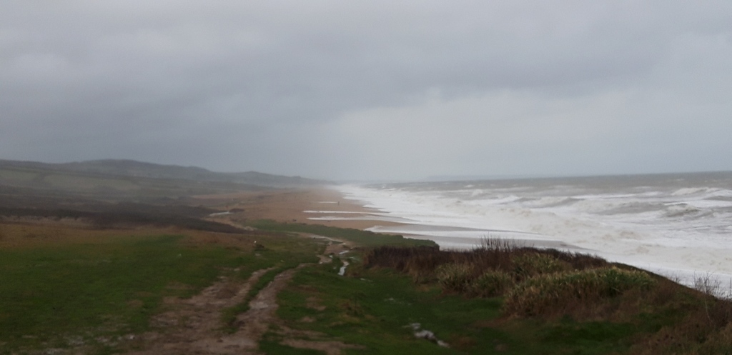
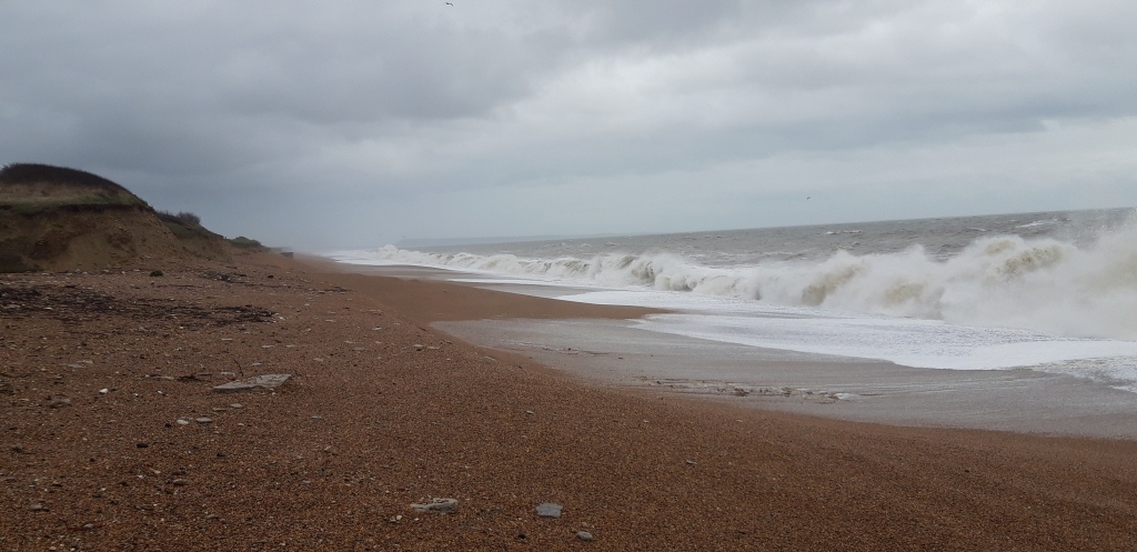
I’m also now on Chesil Beach. Chesil is a 17-mile ridge of pebbles, backed by the the largest tidal lagoon in Britain, the Fleet. It’s been the scene of numerous shipwrecks, and it was renamed Dead Man’s Cove by the ever-cheerful Thomas Hardy.
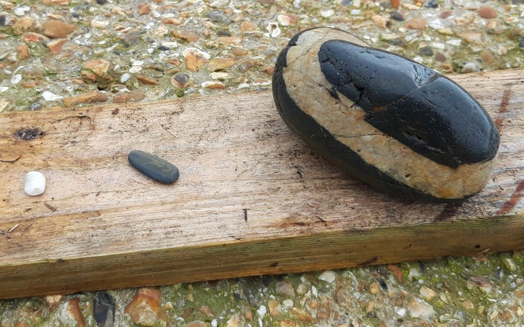
I read somewhere that over thousands of years the wind and sea have sorted the pebbles on Chesil Beach so that different sizes are distributed along the bank, with larger stones in the east, smaller in the west.
My research (not yet peer-reviewed) backs this up.
The Path veers slightly inland. For a while, it’s pleasant walking, shielded from the wind by the high shingle bank. But after a while the Path gets very boggy and I wonder whether it might not have been better to walk on the shingle itself.
The Path becomes a sea of mud and the next half hour is even less enjoyable than the spin-cycle experience of the cliff top walk.
It’s a relief when the Path veers right and back onto the gravelly bank.
I hate to grumble, but I confess that wading over the shingle is very energy-sapping. The novelty soon wears off. My calves begin to complain.
I’m relieved to find a cafe at West Bexington, where I have soup and coffee (and relief from the wind).
After lunch there is more shingle-wading, but eventually the Path gets easier and becomes a patchily tarmacked road behind the Chesil ridge. (With occasional stretches of mud.)
I’m alone most of the afternoon, which is unsurprising in this weather.
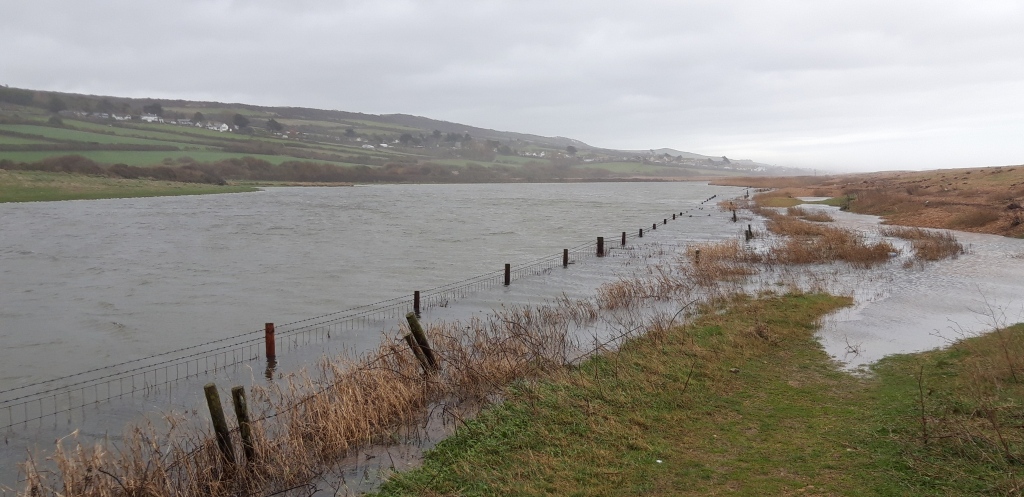
The sun breaks through in mid-afternoon, and the Path veers inland, as the Fleet separates Chesil Beach from the mainland, leading up and into Abbotsbury.
The village is truly the heart of Hardy country, but I forgive it for that. It has thatched cottages and a swannery, which claims to be the only place in the world where you can “walk through the heart of a colony of nesting mute swans.”
There’s also a 14th century chapel to St Catherine, the patron saint (it says here) of spinsters and virgins.
Abbotsbury is on the route of another long-distance trail – something called the MacMillan Way. This turns out to be a path all the way from Abbotsbury to Boston in Lincolnshire. With Poole only around 60 Miles away, I might soon need a new path…

